Georges River

Georges River
- Boat Ramps
- 12
- Access Points
- 2
- Campsites
- 4
The Georges River flows through the southwest of Sydney, New South Wales, eventually emptying into Botany Bay. It is a mostly wide river that passes through a mix of suburban and parkland environments, with the urban spread of Sydney remaining largely unobtrusive along much of its length. The river corridor includes striking rock formations, steep forested hillsides, plateaus, and riverside flats, particularly within Georges River National Park, located roughly 25 kilometres south-west of Sydney between Sutherland and Bankstown.
From Liverpool downstream, the river is tidal and can flow at several kilometres per hour, so paddlers should plan trips to take advantage of tidal assistance in both directions. The river is wide in places, and fast-moving powerboats, jet skis, and waterskiing craft are present, making it advisable to keep to the sides of the river. Speed limits are enforced on the river and speed cameras are in operation.
Several distinct paddling routes are worth noting. From Picnic Point to Chipping Norton Lake is a popular trip, passing long stretches of parkland and reserves, several road and footbridges, and under the flight path of Bankstown Airport. From Chipping Norton Lake, the river can be paddled a further four kilometres upstream to a weir near Liverpool Train Station, though this section tends to accumulate more rubbish. Downstream of Alfords Point Bridge, the river widens into a more estuarine character with numerous bays to explore. The Old Ferry Road Reserve at Illawong to Mickey's Beach is a 7-kilometre return route passing Two Moon Bays, fringing mangroves, grass trees, and casuarinas. Williams Creek, accessed from Deepwater Park, offers a 4-kilometre return paddle through bushland flanked by mangroves, with bream and mullet visible in the water.
Access points include Morgans Creek and Mill Creek within Georges River National Park, Picnic Point, Deepwater Park, Old Ferry Road Reserve at Illawong, and the accessible kayak launch at Light Horse Park, Riverpark Drive, Liverpool, which also offers kayak hire. Paddlers should exercise care near Towra Point, where endangered migratory birds nest, and avoid anchoring in restricted areas or disturbing seagrass beds. Wildlife along the river includes White-bellied Sea Eagles, kookaburras, and over 100 recorded bird species in the Yeramba Lagoon area. The upper reaches toward the headwaters involve portages over fallen trees and more wilderness-style conditions.
Water access, boat ramps & amenities
Learn how to get on Georges River. Uncover great paddling access points, boat ramps, and all the facilities you need for an unforgettable day on the water. Some locations shown may border or include private property. Always check property boundaries and applicable regulations before visiting. PaddleWays's Public & Private Land layer can help you plan your access with confidence.
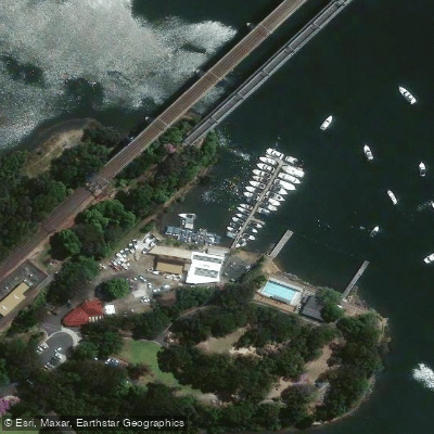
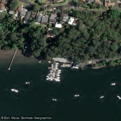
Paddle smarter with real-time insights
Whether you're en route and conditions shift or you're looking for the best spot based on current flows, we enable you to make informed decisions on the fly.








Find Places to Paddle

Over 400,000 Places to Paddle
Every user gets free access to launch points, boat ramps, and public property parcels.


Water and weather conditions (10 day forecast)
See the best times to paddle Georges River and check the forecast before you go.
Georges River At Minto Heights
All Flow Stations
Paddling near Georges River
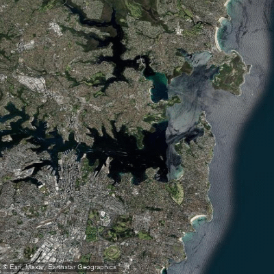
Sydney
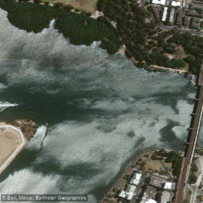
Parramatta River
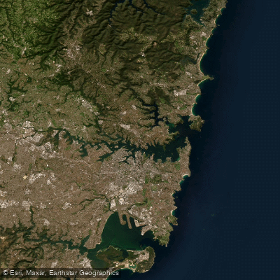
Port Jackson
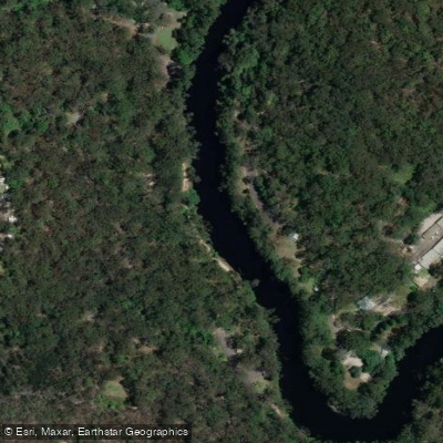
Lane Cove River
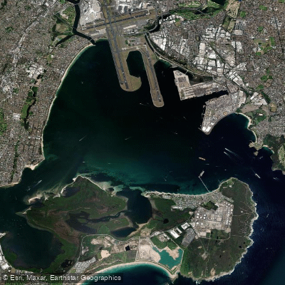
Botany
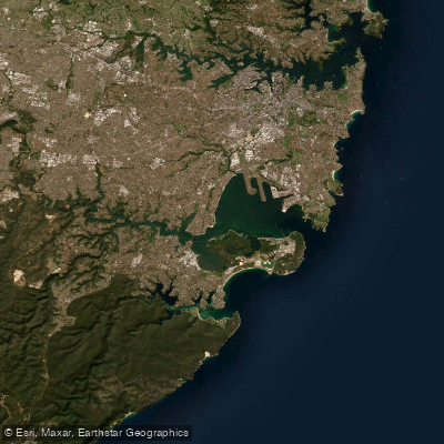
Botany Bay
Cowan Creek
Bate Bay
Woronora River
Explore New South Wales waters
Top paddling waters
No waters available right now.
Popular Cities
Loading popular cities...
Explore near Georges River
Access points
- Chipping Norton Lake - Angle Park Boat Ramp
- Chipping Norton Lake - Bradbury Wharf Boat Ramp (Hoy Park)
- Chipping Norton Lake, Lansvale
- Davy Robinson Reserve Boat Ramp
- Floyd Bay Boat Ramp
- Georges River National Park Boat Ramp
- Morgan'S Creek Boat Ramp (Left)
- Morgan'S Creek Boat Ramp (Right)
- Picnic Point
- Rabaul Road
- Sandy Point
- Tom Uglys Bridge Boat Ramp (Horse Rock Point)
- All 18 spots
Nearby waters
More in New South Wales

Smarter Paddling Starts in the App.
Paddleways gives you everything you need to plan smarter, paddle better, and own every trip from first launch to takeout.