Gwydir River
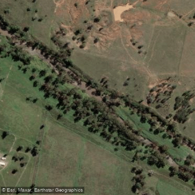
Gwydir River
- Boat Ramps
- 1
- Access Points
- 0
- Campsites
- 14
The Gwydir River is a major inland river of northern New South Wales, rising in the Great Dividing Range and flowing north-west through the Northern Tablelands, North West Slopes, and Orana districts before spreading across a broad alluvial floodplain and eventually connecting to the Barwon River system within the Murray–Darling Basin. The river passes through the traditional lands of the Gomeroi, Gamilaroi, Kamilaroi, and Gamilaraay Peoples and carries considerable historical and cultural significance.
The river offers two very different paddling experiences depending on location. Below Copeton Dam, the Gwydir delivers some of the most demanding whitewater in Australia. The section from Copeton Dam to Horse Stealers Creek runs approximately 16 kilometres and is graded IV overall with sections reaching Grade V. This run requires at least one full day and possibly two. It is explicitly described as harder than the Upper Nymboida at high water and should only be attempted by paddlers who can roll proficiently and handle advanced whitewater confidently. Flow is regulated by Copeton Dam, and a gauge is available to check water levels before committing to the run.
Further downstream, the river transitions to a very different character. Around Bingara, the river offers accessible flatwater paddling with an 8-kilometre return trip taking approximately 1.5 hours. Bingara provides swimming, camping, and kayaking opportunities close to town facilities. Ezzy's Crossing, just outside Gravesend, is another access point offering kayaking, fishing, and camping, with views of the historic Gravesend Railway Bridge built in 1901. Canoe and kayak hire is available through Wade Horses in Bingara.
At Moree, the Gwydir flows through the plains and offers an 18-kilometre return paddle of approximately four hours, providing a flatwater experience through open outback country. Tareelaroi Weir near Moree is noted as a worthwhile paddling stop. The river at Bingara supports abundant freshwater fish including Murray Cod, Yellow Belly, and Silver Perch, making it popular with kayak anglers. Downstream of Moree, the river fans into extensive wetlands and floodplains that are internationally recognised for waterbird habitat, including Ramsar-listed areas.
Water access, boat ramps & amenities
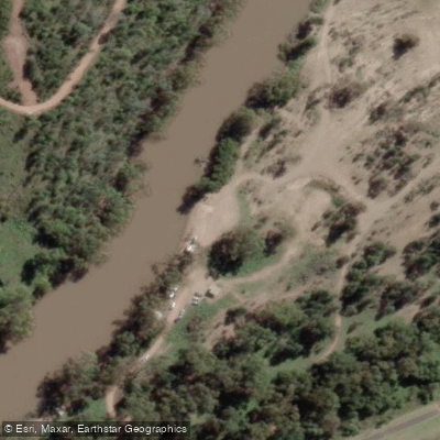
Learn how to get on Gwydir River. Uncover great paddling access points, boat ramps, and all the facilities you need for an unforgettable day on the water. Some locations shown may border or include private property. Always check property boundaries and applicable regulations before visiting. PaddleWays's Public & Private Land layer can help you plan your access with confidence.
Paddle smarter with real-time insights
Whether you're en route and conditions shift or you're looking for the best spot based on current flows, we enable you to make informed decisions on the fly.








Find Places to Paddle

Over 400,000 Places to Paddle
Every user gets free access to launch points, boat ramps, and public property parcels.


Water and weather conditions (10 day forecast)
See the best times to paddle Gwydir River and check the forecast before you go.
Gwydir River At Pallamallawa
All Flow Stations
Paddling near Gwydir River
Peel River
MacDonald River
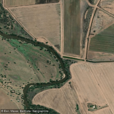
Namoi River
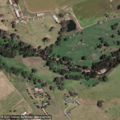
Cockburn River
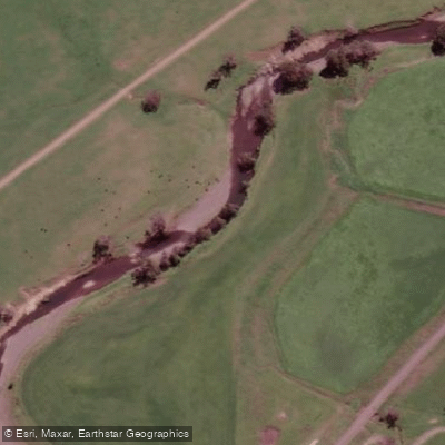
Peel River
Apsley River
Lake Keepit
Split Rock Dam
Chaffey Reservoir Dam
Explore New South Wales waters
Top paddling waters
No waters available right now.
Popular Cities
Loading popular cities...
Explore near Gwydir River
Access points
- Bingara Boat Ramp
- Bingara Riverside Camp
- Boolooroo Rest Area
- Boora Crossing - Gwydir River Camps
- Bundarra Community Caravan Park
- Bundarra Lion'S Park
- Gsc - Off Faithfull Street
- Gsc - Off White Street
- Gum Flat Public Reserve
- Honeymoon - Gwydir River Camps
- Honeymoon - Gwydir River Camps
- Pallamallawa Fishing Club Memorial Park
- All 15 spots
Nearby waters
More in New South Wales

Smarter Paddling Starts in the App.
Paddleways gives you everything you need to plan smarter, paddle better, and own every trip from first launch to takeout.