Peel River
Peel River
- Boat Ramps
- 0
- Access Points
- 0
- Campsites
- 2
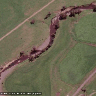
The Peel River is a 210-kilometre watercourse in the North West Slopes and Plains district of New South Wales, forming part of the Namoi catchment within the Murray–Darling basin. Rising on the northern slopes of the Liverpool Range at an elevation of 743 metres, the river drops 457 metres over its course before reaching its mouth at the confluence with the Namoi River, south of Keepit Dam. It passes through or near the villages of Nundle, Woolomin, Piallamore, and Tamworth, and flows through Chaffey Dam along its course.
Water availability on the Peel River is closely tied to dam releases and broader catchment conditions. Paddlers in the region have historically chased environmental flow releases to find navigable water, particularly during drier periods when natural flows are insufficient. This makes trip planning dependent on monitoring release schedules from Chaffey Dam rather than relying on consistent natural flows.
The area around Chaffey Dam offers a distinctive paddling environment that includes a sunken forest visible from the water, and the surrounding landscape supports kangaroos and a variety of bird species. The river was named by explorer John Oxley in 1818 in honour of Sir Robert Peel, giving it historical significance within the broader story of European exploration in New South Wales.
Given the river's position within a drought-prone region of the northern Murray–Darling basin, paddlers should research current dam storage levels and any scheduled environmental releases well in advance of planning a trip.
Water access, boat ramps & amenities
Learn how to get on Peel River. Uncover great paddling access points, boat ramps, and all the facilities you need for an unforgettable day on the water. Some locations shown may border or include private property. Always check property boundaries and applicable regulations before visiting. PaddleWays's Public & Private Land layer can help you plan your access with confidence.
Paddle smarter with real-time insights
Whether you're en route and conditions shift or you're looking for the best spot based on current flows, we enable you to make informed decisions on the fly.








Find Places to Paddle

Over 400,000 Places to Paddle
Every user gets free access to launch points, boat ramps, and public property parcels.


Water and weather conditions (10 day forecast)
See the best times to paddle Peel River and check the forecast before you go.
Peel River At Taroona
All Flow Stations
Paddling near Peel River
Peel River
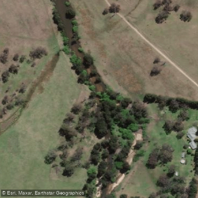
MacDonald River
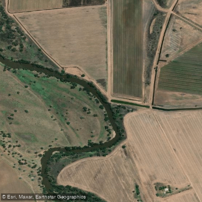
Namoi River
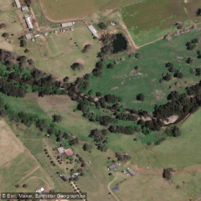
Cockburn River
Apsley River
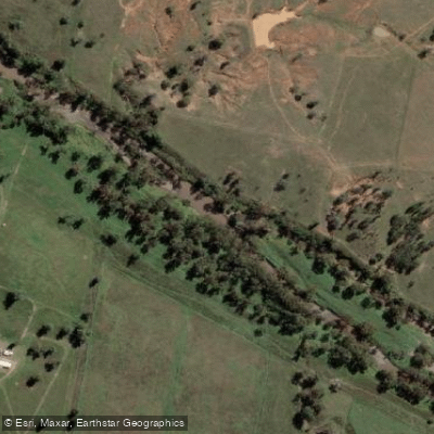
Gwydir River
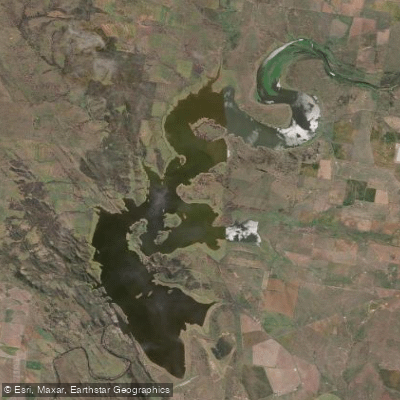
Lake Keepit
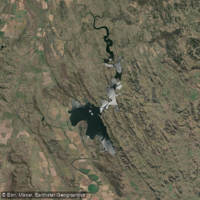
Split Rock Dam
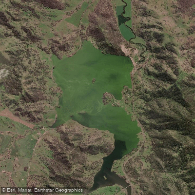
Chaffey Reservoir Dam
Explore New South Wales waters
Top paddling waters
No waters available right now.
Popular Cities
Loading popular cities...
Explore near Peel River
Access points
Nearby waters
More in New South Wales

Smarter Paddling Starts in the App.
Paddleways gives you everything you need to plan smarter, paddle better, and own every trip from first launch to takeout.