MacDonald River
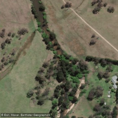
MacDonald River
- Boat Ramps
- 0
- Access Points
- 0
- Campsites
- 4
The MacDonald River in New South Wales, Australia, is a flat-water paddling destination that flows through farmland and bushland, finishing near the historic 200-year-old inn at St Albans. The river is suitable for kayaks, canoes, and stand-up paddleboards, provided there has been sufficient rainfall to maintain adequate water levels. When flows are low, the river reduces to a series of disconnected ponds separated by long stretches of exposed sandbars, requiring paddlers to drag or walk their craft between sections.
One commonly paddled section runs from Piggy Back Bridge to St Albans, a route that passes through reeds in places, with narrow channels requiring navigation. Paddlers should be aware of the Piggy Back Bridge itself, which has a new bridge constructed on top of the old one and warrants caution. The river features sandy banks suitable for rest stops, and the lower section approaching Wisemans Ferry is tidal, meaning water levels and current direction will vary with the tides. High tide at St Albans is estimated to occur roughly an hour later than at the river's entrance. The upper section near St Albans is less influenced by tidal movement and more susceptible to low-water conditions during dry periods.
The St Albans gauge is a useful reference point for assessing conditions; readings around -0.2m have been recorded during paddling trips, indicating that the river can be navigated at low levels but with the expectation of some dragging across fords and shallows. Flood events can significantly reshape the riverbanks, sandbars, and pools, so conditions may vary considerably from one visit to the next. A practical approach for the St Albans to Wisemans Ferry route is to launch from the Wisemans Ferry end and paddle upstream, turning back when the water becomes too shallow, which allows for a worthwhile paddle regardless of upper-river conditions.
The overall character of the river is gentle and accessible, making it appropriate for beginners and those seeking a relaxed outing rather than technical paddling. The landscape along the banks is rural, with a mix of agricultural land and natural bush.
Water access, boat ramps & amenities
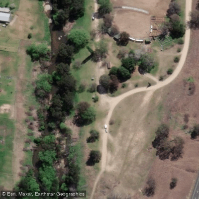
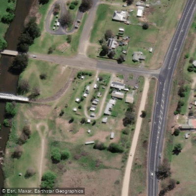
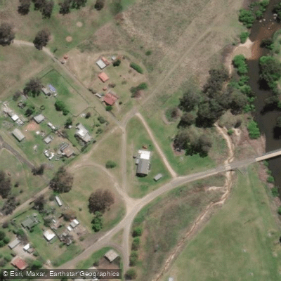
Learn how to get on MacDonald River. Uncover great paddling access points, boat ramps, and all the facilities you need for an unforgettable day on the water. Some locations shown may border or include private property. Always check property boundaries and applicable regulations before visiting. PaddleWays's Public & Private Land layer can help you plan your access with confidence.
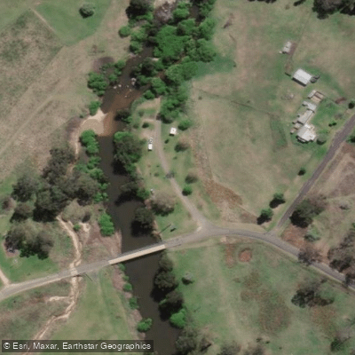
Paddle smarter with real-time insights
Whether you're en route and conditions shift or you're looking for the best spot based on current flows, we enable you to make informed decisions on the fly.








Find Places to Paddle

Over 400,000 Places to Paddle
Every user gets free access to launch points, boat ramps, and public property parcels.


Water and weather conditions (10 day forecast)
See the best times to paddle MacDonald River and check the forecast before you go.
Macdonald River At Woolbrook
All Flow Stations
Paddling near MacDonald River
Peel River
Namoi River
Cockburn River
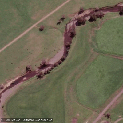
Peel River
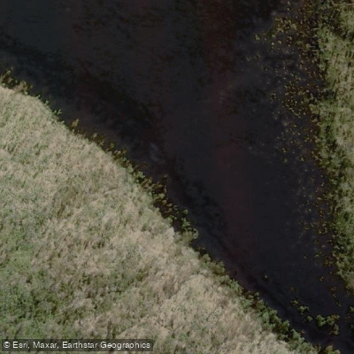
Apsley River
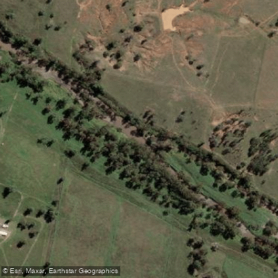
Gwydir River
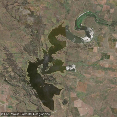
Lake Keepit
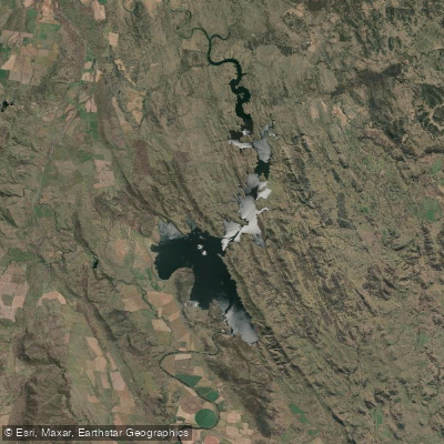
Split Rock Dam
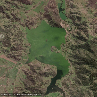
Chaffey Reservoir Dam
Explore New South Wales waters
Top paddling waters
No waters available right now.
Popular Cities
Loading popular cities...
Explore near MacDonald River

Smarter Paddling Starts in the App.
Paddleways gives you everything you need to plan smarter, paddle better, and own every trip from first launch to takeout.