Split Rock Dam
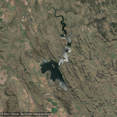
Split Rock Dam
- Boat Ramps
- 2
- Access Points
- 0
- Campsites
- 2
Split Rock Dam is a rock-fill dam on the Manilla River in the North West Slopes region of New South Wales, situated approximately 70 kilometres north-west of Tamworth and 28 kilometres north of Manilla, accessed via a turnoff from Fossickers Way onto Split Rock Dam Road. The reservoir, known as Split Rock Reservoir, covers a surface area of 22 square kilometres, offering a substantial expanse of open water for paddling. The dam wall stands 66 metres high with a crest length of 484 metres, and the surrounding landscape consists of rolling countryside with extensive foreshores providing views across the lake.
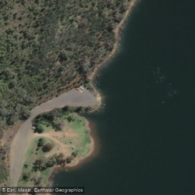
Canoeing is among the water sports explicitly supported at the dam. The primary boat ramp is a concrete facility located at the main camping area on the western foreshore, approximately one kilometre north of the dam wall. A second gravel boat ramp is available at Glenriddle Reserve on the northern shore of the dam's upper reaches, providing an alternative access point for paddlers wishing to explore the upper sections of the reservoir.
The dam is managed by WaterNSW, and recreation areas are closed on all Total Fire Ban days, which is an important planning consideration during the warmer months. Drones and model aircraft are prohibited. There is no access to the dam wall itself.
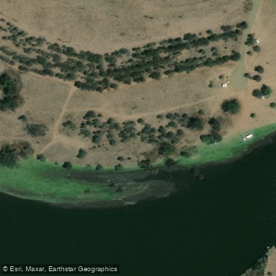
The main camping area on the western foreshore offers unpowered unreserved sites as well as powered sites near the amenities block. Facilities include shower and toilet amenities, a fish cleaning table, wood barbecues, shelter, and picnic areas. The dam's name derives from a fissure in a large rock near the dam structure.
The reservoir supports populations of Murray cod, golden perch, silver perch, catfish, and carp, meaning paddlers are likely to encounter fishing activity on the water. The dam also attracts birdwatchers and bushwalkers, so the foreshore areas can see varied visitor traffic. The Barraba Visitor Information Centre can be reached on 02 6782 1105 for further local information, and current dam levels are published by WaterNSW.
Water access, boat ramps & amenities
Learn how to get on Split Rock Dam. Uncover great paddling access points, boat ramps, and all the facilities you need for an unforgettable day on the water. Some locations shown may border or include private property. Always check property boundaries and applicable regulations before visiting. PaddleWays's Public & Private Land layer can help you plan your access with confidence.
Paddle smarter with real-time insights
Whether you're en route and conditions shift or you're looking for the best spot based on current flows, we enable you to make informed decisions on the fly.








Find Places to Paddle

Over 400,000 Places to Paddle
Every user gets free access to launch points, boat ramps, and public property parcels.


Water and weather conditions (10 day forecast)
See the best times to paddle Split Rock Dam and check the forecast before you go.
Manilla River At Split Rock Dam Storage Gauge
All Flow Stations
Paddling near Split Rock Dam
Peel River
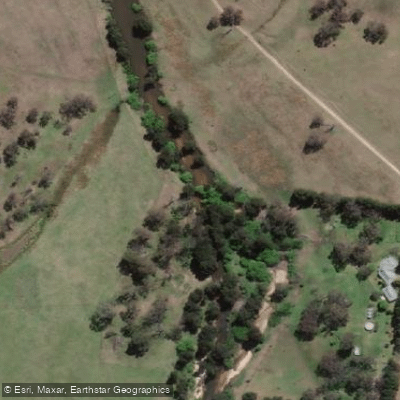
MacDonald River
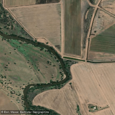
Namoi River
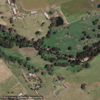
Cockburn River
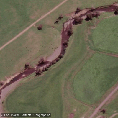
Peel River
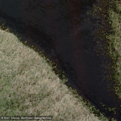
Apsley River
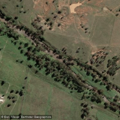
Gwydir River
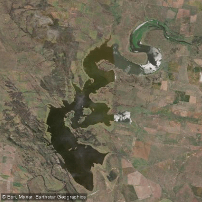
Lake Keepit
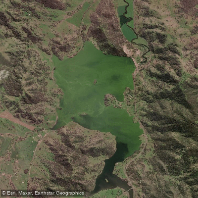
Chaffey Reservoir Dam
Explore New South Wales waters
Top paddling waters
No waters available right now.
Popular Cities
Loading popular cities...
Explore near Split Rock Dam

Smarter Paddling Starts in the App.
Paddleways gives you everything you need to plan smarter, paddle better, and own every trip from first launch to takeout.