Namoi River
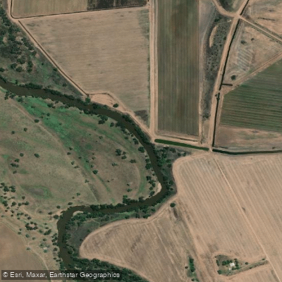
Namoi River
- Boat Ramps
- 1
- Access Points
- 0
- Campsites
- 3
The Namoi River is a substantial inland waterway in north-western New South Wales, draining a catchment of approximately 42,000 square kilometres. It originates in the tablelands at elevations above 1,000 metres and flows down through diverse landscapes to the lowland floodplains to the south-west, where it eventually joins the Barwon River at the town of Walgett.
The river carries characteristically muddy water and passes through semi-arid country, with sections flanked by dense eucalyptus woodland. The overall character of paddling here is remote and outback in nature, with the river winding through quiet bush settings that support notable birdlife and floodplain vegetation. Paddlers should expect a dry inland environment rather than lush riparian scenery.
Walgett is the most commonly referenced put-in location, where the Namoi meets the Barwon River. The town's name derives from the Gamilaraay word for "the meeting of two waters," reflecting the cultural significance of this confluence to the local Indigenous people. A paddle at Walgett covering both the Namoi and Barwon rivers runs approximately 20 kilometres return and takes around four hours to complete. The Manilla River, in the upper reaches of the Namoi catchment, is also paddled as part of multi-day trips through the region.
The river is described as still flowing in its outback sections, which is worth noting given the variable nature of inland NSW waterways. Paddlers planning trips to this region should verify flow conditions in advance, as inland rivers in this part of New South Wales can be highly seasonal and subject to significant variation depending on rainfall and upstream water management. Split Rock Reservoir and Lake Keepit, both associated with the broader Namoi Valley, offer additional flat-water paddling options in the same general area.
Water access, boat ramps & amenities
Learn how to get on Namoi River. Uncover great paddling access points, boat ramps, and all the facilities you need for an unforgettable day on the water. Some locations shown may border or include private property. Always check property boundaries and applicable regulations before visiting. PaddleWays's Public & Private Land layer can help you plan your access with confidence.
Paddle smarter with real-time insights
Whether you're en route and conditions shift or you're looking for the best spot based on current flows, we enable you to make informed decisions on the fly.








Find Places to Paddle

Over 400,000 Places to Paddle
Every user gets free access to launch points, boat ramps, and public property parcels.


Water and weather conditions (10 day forecast)
See the best times to paddle Namoi River and check the forecast before you go.
Namoi River At Gunnedah
All Flow Stations
Paddling near Namoi River
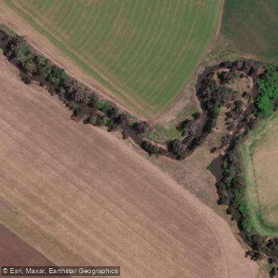
Peel River
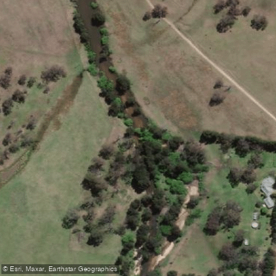
MacDonald River
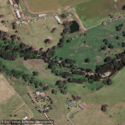
Cockburn River
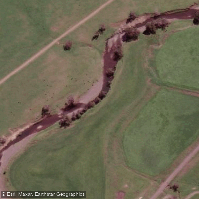
Peel River
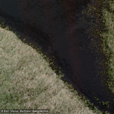
Apsley River
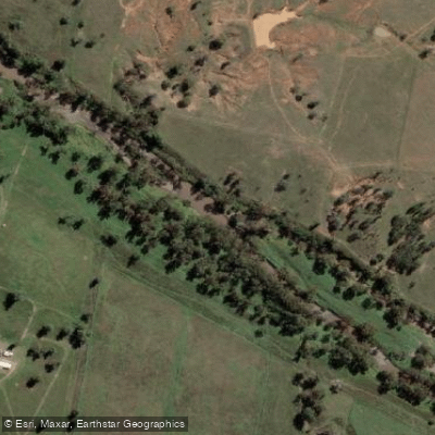
Gwydir River
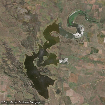
Lake Keepit
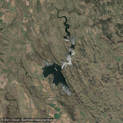
Split Rock Dam
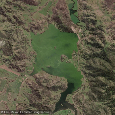
Chaffey Reservoir Dam
Explore New South Wales waters
Top paddling waters
No waters available right now.
Popular Cities
Loading popular cities...
Explore near Namoi River

Smarter Paddling Starts in the App.
Paddleways gives you everything you need to plan smarter, paddle better, and own every trip from first launch to takeout.