Lake Keepit
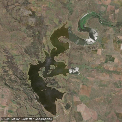
Lake Keepit
- Boat Ramps
- 1
- Access Points
- 0
- Campsites
- 2
Lake Keepit is a large inland reservoir in northern New South Wales, formed by Keepit Dam on the Namoi River. The lake covers approximately 44 square kilometres and holds a capacity of around 419 gigalitres, making it roughly two-thirds the size of Sydney Harbour. It sits between Gunnedah and Tamworth, accessible via the Oxley Highway with a turn-off toward Manilla — about 25 minutes from Gunnedah and 40 minutes from Tamworth.
One of the lake's notable geographical characteristics is that it extends well beyond its southern broadwater, weaving further north through less-visited reaches. Paddlers who venture beyond the main southern section encounter considerably more of the lake's character and natural surroundings than those who stay near the primary recreation area.
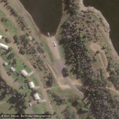
Several boat ramps provide access to the water, including a main boat ramp within Lake Keepit State Park. The park is managed with entry fees applying, and the office is open daily from 8am to 5pm. WaterNSW safety guidance for the lake includes wearing a life jacket, supervising children, watching for underwater hazards, maintaining safe distances from other watercraft, and following any algae alerts that may be issued.
Paddling activities at the lake include canoeing and kayaking, with both single-blade canoes and double-bladed kayak options available through the Lake Keepit Sport and Recreation Centre. The lake also hosts sailing, water skiing, and jet ski activity, so paddlers should be aware of motorised watercraft sharing the water. The Lake Keepit Sailing Club operates near the dam wall, and sailing regattas are a regular feature of the lake's calendar.
Fishing is a significant draw, with golden perch (yellowbelly), silver perch, and Murray cod present in the lake. The surrounding park offers panoramic views from multiple vantage points, and Tolcumbah Lookout just south of the dam wall provides elevated views over the wall, lake, and surrounding countryside. Facilities within the state park include boat ramps, a boat wash area, a fish cleaning area, camp kitchen, amenities blocks, and a licensed kiosk. Accommodation options range from powered and unpowered campsites to cabins and permanent tents.
Water access, boat ramps & amenities
Learn how to get on Lake Keepit. Uncover great paddling access points, boat ramps, and all the facilities you need for an unforgettable day on the water. Some locations shown may border or include private property. Always check property boundaries and applicable regulations before visiting. PaddleWays's Public & Private Land layer can help you plan your access with confidence.
Paddle smarter with real-time insights
Whether you're en route and conditions shift or you're looking for the best spot based on current flows, we enable you to make informed decisions on the fly.








Find Places to Paddle

Over 400,000 Places to Paddle
Every user gets free access to launch points, boat ramps, and public property parcels.


Water and weather conditions (10 day forecast)
See the best times to paddle Lake Keepit and check the forecast before you go.
Namoi River At Keepit Dam - Storage Gauge
All Flow Stations
Paddling near Lake Keepit
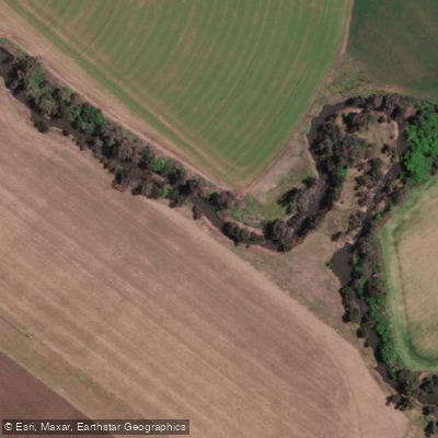
Peel River
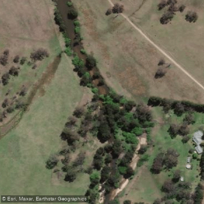
MacDonald River
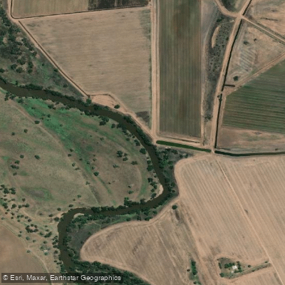
Namoi River
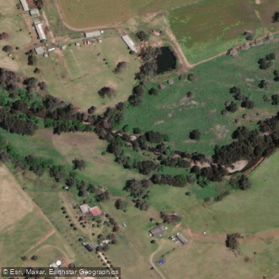
Cockburn River
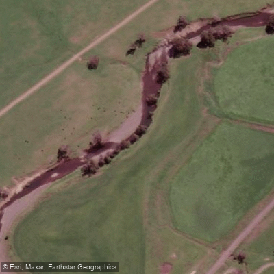
Peel River
Apsley River
Gwydir River
Split Rock Dam
Chaffey Reservoir Dam
Explore New South Wales waters
Top paddling waters
No waters available right now.
Popular Cities
Loading popular cities...
Explore near Lake Keepit

Smarter Paddling Starts in the App.
Paddleways gives you everything you need to plan smarter, paddle better, and own every trip from first launch to takeout.