Kangaroo River
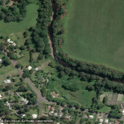
Kangaroo River
- Boat Ramps
- 0
- Access Points
- 0
- Campsites
- 0
The Kangaroo River flows approximately 47 kilometres through the Shoalhaven region of New South Wales, rising within Budderoo National Park and winding northwest across the western escarpment of the Budderoo Plateau, through Kangaroo Valley, before converging with the Shoalhaven River at Tallowa Dam, where it forms Lake Yarrunga. The river passes through two national parks and transitions from a flowing river with some moving water sections to the flat, still waters of the Lake Yarrunga reservoir. The area is located roughly two hours' drive from Sydney.
The river offers two distinct paddling experiences. The upper section from Hampden Bridge to Bendeela covers approximately 6.5 kilometres and includes 1.5 kilometres of small rapids followed by 5 kilometres of flat water. This section involves moving water and carries inherent risks for inexperienced paddlers; commercial operators offering guided trips on this stretch require participants to be competent swimmers and recommend children be at least 8 years old. The lower section, the Kangaroo River arm of Lake Yarrunga, is flat water with no powered boats or rapids, making it suitable for beginners and families. A longer route from Beehive Point to Bendeela covers 14 kilometres through Morton National Park. Paddlers can also access remote campsites along Lake Yarrunga that are reachable only by kayak or canoe, launching from Tallowa Dam and paddling northeast upstream.
Wind is a notable hazard on the lake sections. The Kangaroo River arm has stretches of wide, shallow water that can become choppy in moderate winds, while the Shoalhaven arm can funnel winds through the gorge, making headway difficult in slower craft.
Wildlife along the river is reported to be abundant, with kangaroos, wombats, echidnas, azure kingfishers, sea eagles, waterbirds, gang-gang cockatoos, and little lorikeets regularly observed. The river corridor passes through areas of rainforest, untouched wilderness, and farmland. Bass and carp are present in Lake Yarrunga for those who fish. The Bendeela Recreation Area provides a camping and picnic facility used as a base by paddlers. Campsite access at Lake Yarrunga remote sites requires advance planning, as they are only reachable by water.
Water access, boat ramps & amenities
Learn how to get on Kangaroo River. Uncover great paddling access points, boat ramps, and all the facilities you need for an unforgettable day on the water. Some locations shown may border or include private property. Always check property boundaries and applicable regulations before visiting. PaddleWays's Public & Private Land layer can help you plan your access with confidence.
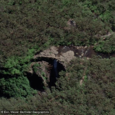
Paddle smarter with real-time insights
Whether you're en route and conditions shift or you're looking for the best spot based on current flows, we enable you to make informed decisions on the fly.








Find Places to Paddle

Over 400,000 Places to Paddle
Every user gets free access to launch points, boat ramps, and public property parcels.


Water and weather conditions (10 day forecast)
See the best times to paddle Kangaroo River and check the forecast before you go.
Tallowa Dam
All Flow Stations
Paddling near Kangaroo River
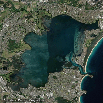
Lake Illawarra

Georges River
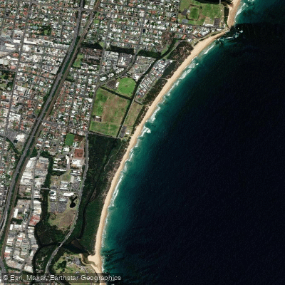
Towradgi Beach
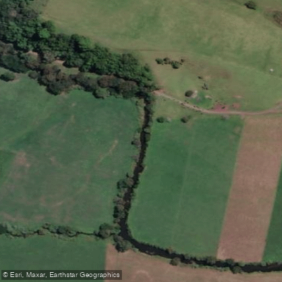
Minnamurra River
Hacking River
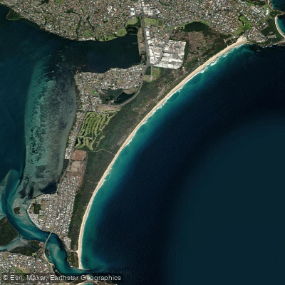
Perkins Beach
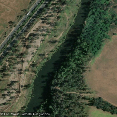
Nepean River
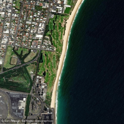
Coniston Beach
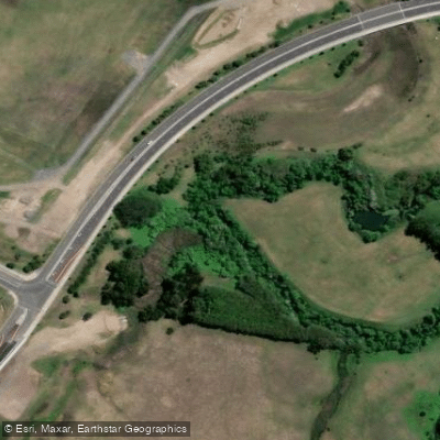
Mullet Creek
Explore New South Wales waters
Top paddling waters
No waters available right now.
Popular Cities
Loading popular cities...
Explore near Kangaroo River

Smarter Paddling Starts in the App.
Paddleways gives you everything you need to plan smarter, paddle better, and own every trip from first launch to takeout.