Nepean River
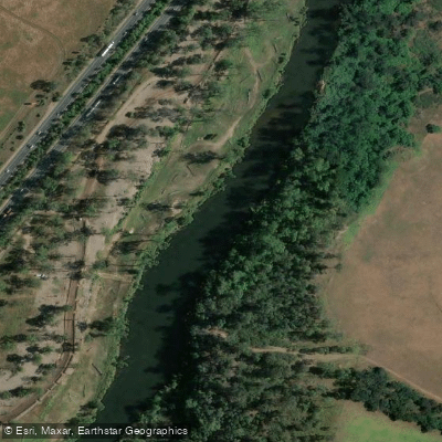
Nepean River
- Boat Ramps
- 1
- Access Points
- 0
- Campsites
- 1
The Nepean River in New South Wales offers a range of paddling experiences within easy reach of Sydney, from flat, gentle water suited to beginners and families through to sections with whitewater. The most popular paddling corridor runs from Tench Reserve in Penrith upstream toward Warragamba Dam, a distance of roughly 25km one-way. The water in this section is non-tidal, making it possible to paddle in either direction, though wind direction is worth considering when planning the route.
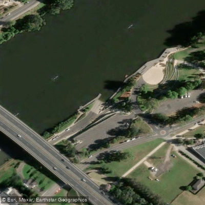
The primary access point is Tench Reserve in Penrith, which has a three-lane boat ramp that opened in 2019 following a $6.7 million upgrade. The facility includes car and trailer parking, jetties, and lighting. Additional kayak launch decks are available at Regatta Park in Emu Plains, the Nepean Rowing Club on Bruce Neale Drive, and a newer deck on River Road in Leonay — the first launch facility on the southern side of the M4 motorway, providing access to the Nepean Gorge.
For the first 2.5km upstream from Tench Reserve, power boats share the water, and paddlers are advised to stay close to the riverbank to avoid them. Beyond that point, speed limits apply and motorised traffic is less of a concern. The river passes through a gorge and takes on a more isolated character, with several sandy beaches at creek junctions along the way. Norton's Basin at approximately 30km makes a good lunch stop. Beyond Norton's Basin, a rock platform blocks upstream progress; turning right leads into the Warragamba River for just under 2km, ending at a waterfall with views of the Warragamba Dam wall.
The section is rated Grade 1 and is generally flat and gentle in normal conditions. It should not be paddled in strong flows, as tree and log hazards become significant dangers. Quicksand has been encountered on sand flats where creeks enter the river; paddlers are advised to drag their boat rather than walk across these areas. Wildlife along the river includes waterbirds, eagles, osprey, water dragons, turtles, and echidnas.
Further downstream, around Menangle, the river is used for overnight canoe expeditions with access to freshwater swimming holes and camping areas. The Nepean River also forms part of the broader Hawkesbury/Nepean River System Canoe and Kayak Trail, which connects to the Colo and Hawkesbury rivers.
Water access, boat ramps & amenities
Learn how to get on Nepean River. Uncover great paddling access points, boat ramps, and all the facilities you need for an unforgettable day on the water. Some locations shown may border or include private property. Always check property boundaries and applicable regulations before visiting. PaddleWays's Public & Private Land layer can help you plan your access with confidence.
Paddle smarter with real-time insights
Whether you're en route and conditions shift or you're looking for the best spot based on current flows, we enable you to make informed decisions on the fly.








Find Places to Paddle

Over 400,000 Places to Paddle
Every user gets free access to launch points, boat ramps, and public property parcels.


Water and weather conditions (10 day forecast)
See the best times to paddle Nepean River and check the forecast before you go.
Yarramundi (Nepean River)
All Flow Stations
Paddling near Nepean River
Lake Illawarra

Georges River
Towradgi Beach
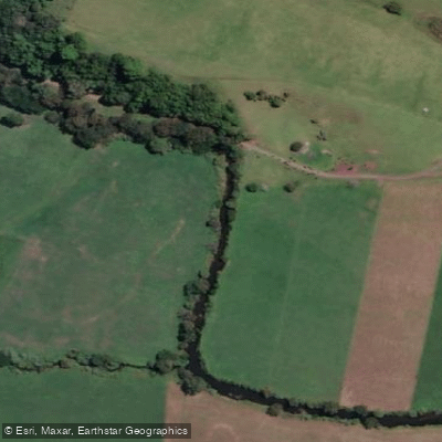
Minnamurra River
Hacking River
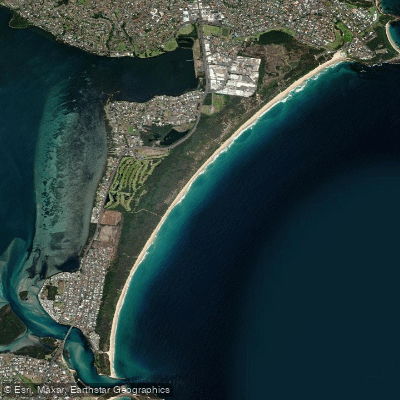
Perkins Beach
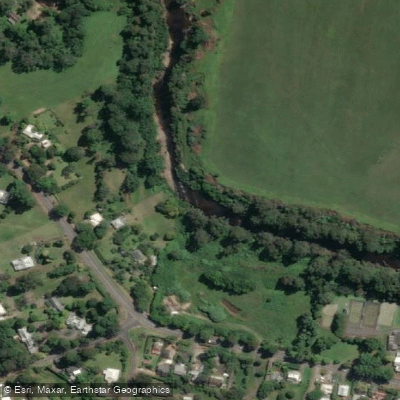
Kangaroo River
Coniston Beach
Mullet Creek
Explore New South Wales waters
Top paddling waters
No waters available right now.
Popular Cities
Loading popular cities...
Explore near Nepean River

Smarter Paddling Starts in the App.
Paddleways gives you everything you need to plan smarter, paddle better, and own every trip from first launch to takeout.