Mullet Creek
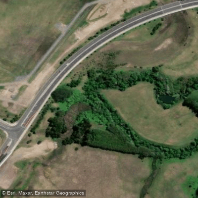
Mullet Creek
- Boat Ramps
- 0
- Access Points
- 0
- Campsites
- 0
There are actually two distinct Mullet Creeks relevant to paddlers in New South Wales. One runs alongside the train line between Sydney and the Central Coast, just a few kilometres from the Pacific Motorway, and covers approximately 20 kilometres return — a trip that typically takes four to five hours. Despite its proximity to major transport corridors, the presence of oyster farmers working the waterway gives it a distinctly unhurried, remote character that belies its location.
The second, and perhaps more frequently paddled, Mullet Creek is located in the Illawarra region, roughly 90 to 100 kilometres south of Sydney. This creek is a tributary of Lake Illawarra, which covers approximately 33 square kilometres and reaches a maximum depth of 3.7 metres. The creek is described as a protected and sheltered waterway, making it suitable for paddlers of all experience levels. The main access point for Mullet Creek in this area is William Beach Reserve in Brownsville, while Lake Illawarra itself can be accessed from Windang Foreshore Park and the Lake Illawarra Kiosk, which has 13 boat ramps available.
A notable historical feature along the Illawarra Mullet Creek is the WWII Tank Trap — a channel dug as part of Second World War coastal defences against potential Japanese invasion. The main channel of the creek can be somewhat silted up in places, so paddlers should be aware of shallow sections depending on tidal conditions. Wind can be a significant factor in this area; gusts exceeding 55–65 kilometres per hour have been recorded, making weather monitoring essential before launching.
The waterway supports a diverse range of birdlife, with documented sightings including egrets and numerous other water bird species. The surrounding landscape reflects the broader Illawarra environment, situated between the escarpment and the coast. Guided group excursions are available on both Mullet Creek and Lake Illawarra, with operators offering skills instruction and equipment including kayaks, paddles, and safety gear. The combination of the sheltered creek and the open lake makes for a varied paddle that can be tailored to different group abilities and interests.
Water access, boat ramps & amenities
Learn how to get on Mullet Creek. Uncover great paddling access points, boat ramps, and all the facilities you need for an unforgettable day on the water. Some locations shown may border or include private property. Always check property boundaries and applicable regulations before visiting. PaddleWays's Public & Private Land layer can help you plan your access with confidence.
Paddle smarter with real-time insights
Whether you're en route and conditions shift or you're looking for the best spot based on current flows, we enable you to make informed decisions on the fly.








Find Places to Paddle

Over 400,000 Places to Paddle
Every user gets free access to launch points, boat ramps, and public property parcels.


Water and weather conditions (10 day forecast)
See the best times to paddle Mullet Creek and check the forecast before you go.
No forecast data available.
Paddling near Mullet Creek
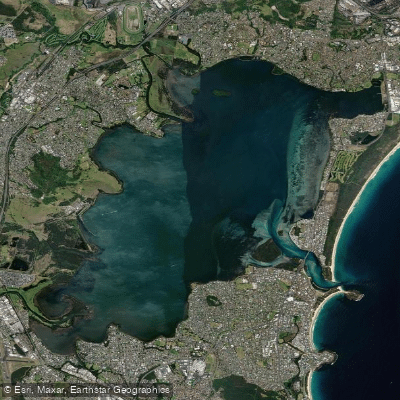
Lake Illawarra

Georges River
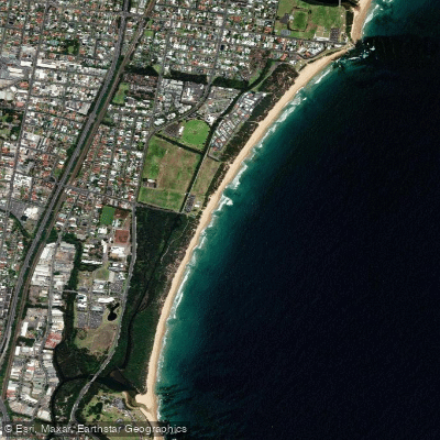
Towradgi Beach
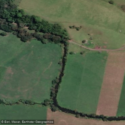
Minnamurra River
Hacking River
Perkins Beach
Nepean River
Kangaroo River
Coniston Beach
Explore New South Wales waters
Top paddling waters
No waters available right now.
Popular Cities
Loading popular cities...
Explore near Mullet Creek

Smarter Paddling Starts in the App.
Paddleways gives you everything you need to plan smarter, paddle better, and own every trip from first launch to takeout.