Minnamurra River
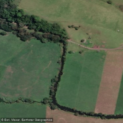
Minnamurra River
- Boat Ramps
- 4
- Access Points
- 0
- Campsites
- 1
The Minnamurra River sits in the Illawarra Region of New South Wales, roughly an hour south of Sydney and positioned between Shellharbour and Kiama on the south coast. The river is tidal in character, and paddling is suited to the tidal section only, making it advisable to time a trip around high tide for the best experience. The river mouth is marked by Rangoon Island, an offshore island named after an 1870 shipwreck in the area.
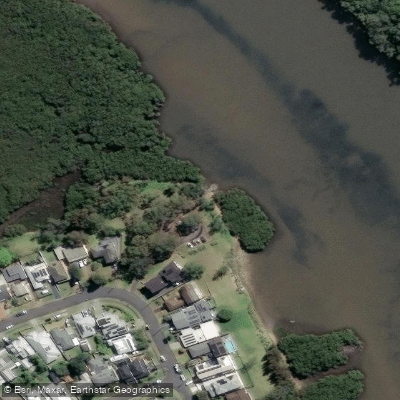
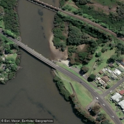
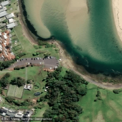
Two main launch points serve paddlers: James Oates Reserve and Trevethan Reserve, both located in Minnamurra NSW 2533. From either put-in, paddlers can cover approximately 6 kilometres through mangrove forests lining the banks before the landscape transitions. The stretch up to the Princes Highway Bridge is bordered by natural bushland, after which the river passes through farmland until reaching the tidal limit. The river also has shallow spots, sandy river beaches, boat ramps, access pontoons, and side creeks worth exploring.
The river is considered a safe and picturesque waterway, well suited to a range of paddlers including families, school groups, and corporate outings. Guided half-day tours of three to four hours are available through local operators, departing from James Oates Reserve. The river's turquoise waters and calm stretches make it suitable for kayaking, canoeing, and stand-up paddleboarding.
The overall paddling character rewards a slower pace — the variety of environments, from mangrove-lined channels to open farmland stretches, offers considerable interest along the route. The river is described as a popular spot for water sports generally, and the surrounding area includes grassy hills and picnic facilities, making it practical for a full day out. No specific restrictions on paddling are noted, though paddlers should be mindful of tidal conditions when planning their trip.
Water access, boat ramps & amenities
Learn how to get on Minnamurra River. Uncover great paddling access points, boat ramps, and all the facilities you need for an unforgettable day on the water. Some locations shown may border or include private property. Always check property boundaries and applicable regulations before visiting. PaddleWays's Public & Private Land layer can help you plan your access with confidence.
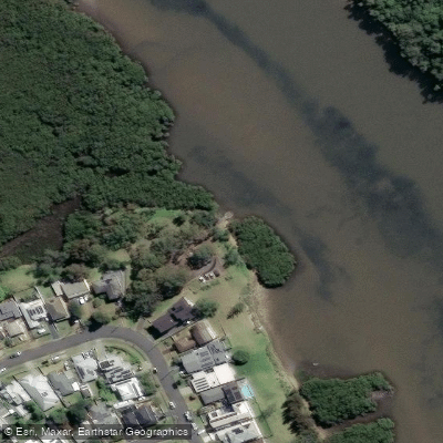
Paddle smarter with real-time insights
Whether you're en route and conditions shift or you're looking for the best spot based on current flows, we enable you to make informed decisions on the fly.








Find Places to Paddle

Over 400,000 Places to Paddle
Every user gets free access to launch points, boat ramps, and public property parcels.


Water and weather conditions (10 day forecast)
See the best times to paddle Minnamurra River and check the forecast before you go.
Minnamurra River At Browns Lane
All Flow Stations
Paddling near Minnamurra River
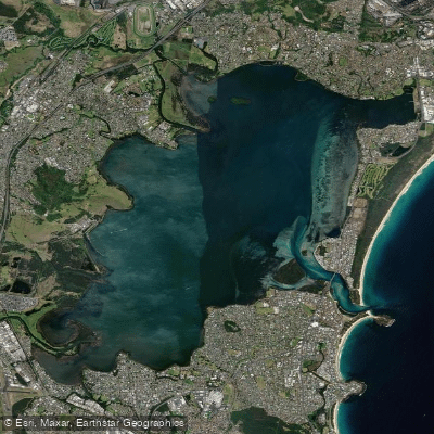
Lake Illawarra

Georges River
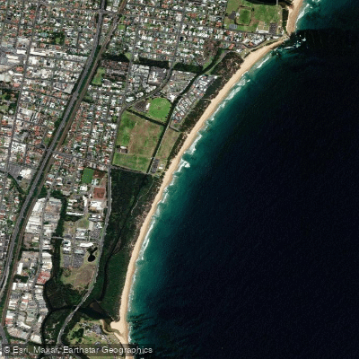
Towradgi Beach

Hacking River
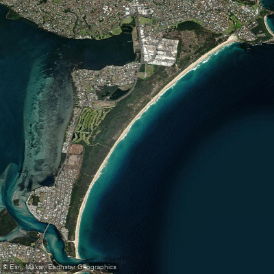
Perkins Beach
Nepean River
Kangaroo River
Coniston Beach
Mullet Creek
Explore New South Wales waters
Top paddling waters
No waters available right now.
Popular Cities
Loading popular cities...
Explore near Minnamurra River
Access points
Nearby waters
More in New South Wales

Smarter Paddling Starts in the App.
Paddleways gives you everything you need to plan smarter, paddle better, and own every trip from first launch to takeout.