Lake Mulwala
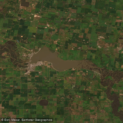
Lake Mulwala
- Boat Ramps
- 7
- Access Points
- 0
- Campsites
- 1
Lake Mulwala is a man-made reservoir on the Murray River, straddling the New South Wales–Victoria border near the towns of Mulwala (NSW) and Yarrawonga (VIC), approximately three hours from Melbourne. The lake was formed by Yarrawonga Weir, a 7-metre-high, 343-metre-long embankment completed in 1939. The weir raises the level of the Murray River, creating the storage that became Lake Mulwala.
The lake's most distinctive visual feature is its population of drowned river red gums — large, pale, skeletal trees standing throughout the water, creating an otherworldly landscape that is particularly striking at sunset. These submerged tree stumps and woody debris are scattered across the lakebed, forming extensive habitat structure that supports strong populations of Murray Cod, some reaching 1.2 to 1.4 metres. Yellowbelly, redfin, carp, and silver perch are also present. A NSW recreational fishing licence is required for fishing anywhere on the lake.
For paddlers, the calm waters and the maze of standing dead timber make kayaking and canoeing the primary draw. Guided kayak tours are available, and the lake is noted as suitable for exploring between the trees. Weed growth can be thick in certain areas, which is worth accounting for when planning routes. Under Transport for NSW navigation regulations, all watercraft must keep to 4 knots within 50 metres of shore to reduce erosion from boat wash. Beyond that zone, the lake also accommodates waterskiing, wakeboarding, and motorised boating, so paddlers should be aware of vessel traffic, particularly in open water areas away from the tree stands.
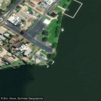
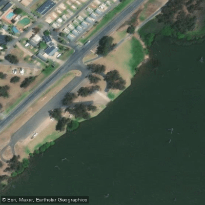
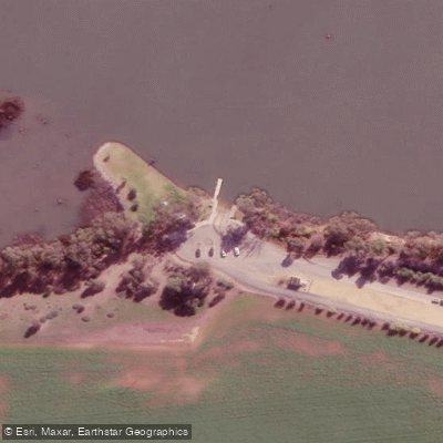
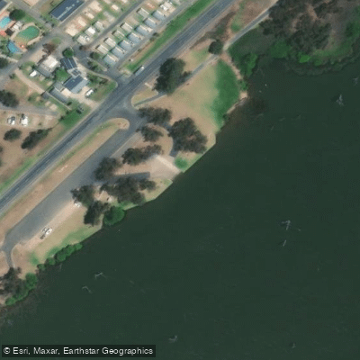
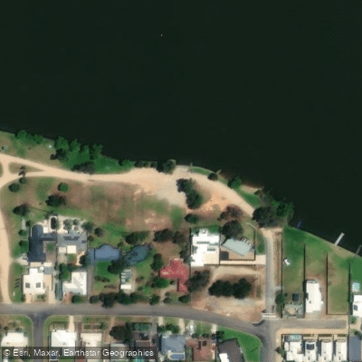
A regional boat ramp provides lake access and includes parking for various rig sizes, electric BBQ facilities, picnic tables, and public toilets. Several holiday parks along the foreshore offer accommodation with direct lake frontage, and some include private boat ramps. Walking tracks and foreshore picnic areas are available on both the NSW and Victorian sides of the lake.
The lake supports diverse birdlife, including cockatoos and sacred kingfishers, making it of interest to wildlife observers. Chinaman's Island, accessible via a walking trail, is noted as a good birdwatching location. The broader Yarrawonga-Mulwala area offers additional amenities including restaurants and a pioneer museum within easy reach of the water.
Water access, boat ramps & amenities
Learn how to get on Lake Mulwala. Uncover great paddling access points, boat ramps, and all the facilities you need for an unforgettable day on the water. Some locations shown may border or include private property. Always check property boundaries and applicable regulations before visiting. PaddleWays's Public & Private Land layer can help you plan your access with confidence.
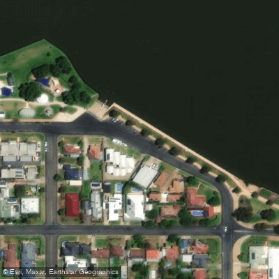
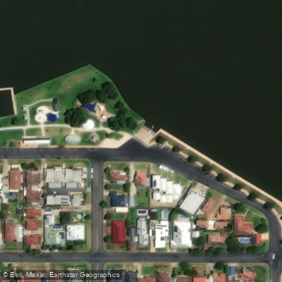
Paddle smarter with real-time insights
Whether you're en route and conditions shift or you're looking for the best spot based on current flows, we enable you to make informed decisions on the fly.








Find Places to Paddle

Over 400,000 Places to Paddle
Every user gets free access to launch points, boat ramps, and public property parcels.


Water and weather conditions (10 day forecast)
See the best times to paddle Lake Mulwala and check the forecast before you go.
Yarrawonga Weir
All Flow Stations
Paddling near Lake Mulwala
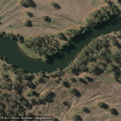
Murray River
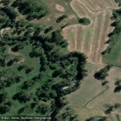
Kiewa River
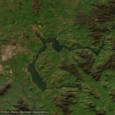
Lake Hume
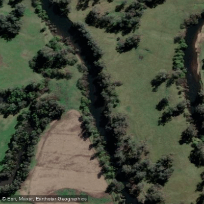
Mitta Mitta River
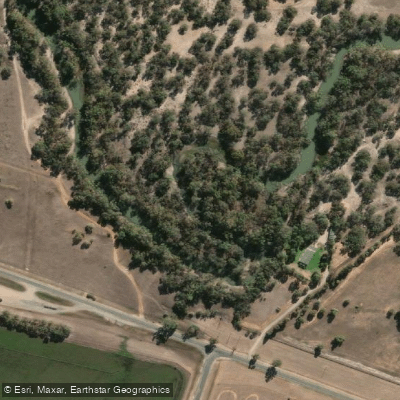
Billabong Creek
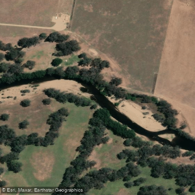
Ovens River
Buffalo Creek
Murray River
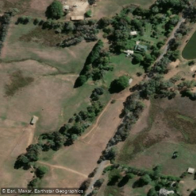
Back Creek
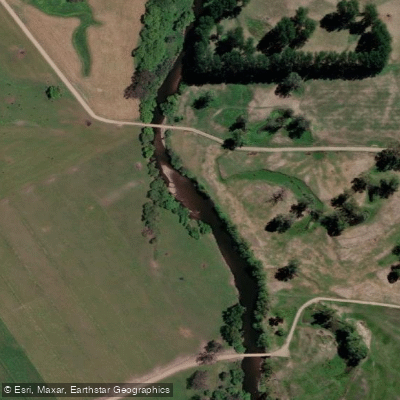
Murray River
Explore New South Wales waters
Top paddling waters
No waters available right now.
Popular Cities
Loading popular cities...
Explore near Lake Mulwala
Access points
Nearby waters
More in New South Wales

Smarter Paddling Starts in the App.
Paddleways gives you everything you need to plan smarter, paddle better, and own every trip from first launch to takeout.