Stony Creek
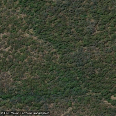
Stony Creek
- Boat Ramps
- 0
- Access Points
- 0
- Campsites
- 0
Paddling on Stony Creek offers two distinct experiences in New South Wales. The primary paddling route is its connection to Burrill Lake on the South Coast, where Stony Creek is the lake's main tributary. This paddle explores the creek and the lake, with a typical trip duration of around four hours. You can enjoy a leisurely paddle around Burrill Lake itself or head from the lake into the creek. Direct river access for kayaking, SUPs, or canoeing is available from specific camping areas, which offer facilities for an overnight stay. For a different trip, a paddle trail on the Williams River runs from Clarence Town to Stony Creek. Access for this route is from the Bridge Reserve boat ramp in Clarence Town, where there are bathrooms and parking available close to the ramp. Inland, near Mudgee and Gulgong, another Stony Creek provides permanent creek access through natural bushland, suitable for more casual paddling near camping areas.
The character of the South Coast Stony Creek is defined by its role feeding Burrill Lake, collecting rainwater from its catchment area near Ulladulla. Inland, the creek near Woodstock offers a bushland setting. A walking trail follows a separate Stony Creek through sub-tropical rainforest, featuring beautiful small waterfalls, indicating the scenic, forested nature of some sections. Paddlers should plan accordingly and seek local advice.
Water access, boat ramps & amenities
Learn how to get on Stony Creek. Uncover great paddling access points, boat ramps, and all the facilities you need for an unforgettable day on the water. Some locations shown may border or include private property. Always check property boundaries and applicable regulations before visiting. PaddleWays's Public & Private Land layer can help you plan your access with confidence.
Paddle smarter with real-time insights
Whether you're en route and conditions shift or you're looking for the best spot based on current flows, we enable you to make informed decisions on the fly.








Find Places to Paddle

Over 400,000 Places to Paddle
Every user gets free access to launch points, boat ramps, and public property parcels.


Water and weather conditions (10 day forecast)
See the best times to paddle Stony Creek and check the forecast before you go.
No forecast data available.
Paddling near Stony Creek
Hunter River
Paterson River
Port Stephens
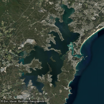
Lake Macquarie
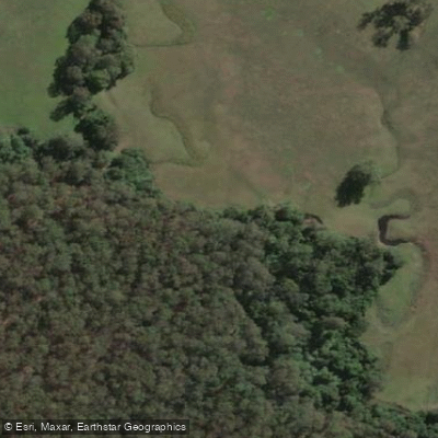
Stony Creek
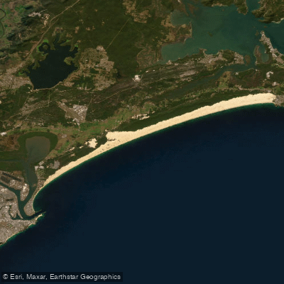
Stockton Beach
Dora Creek
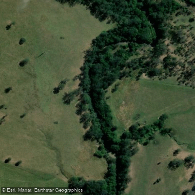
Karuah River
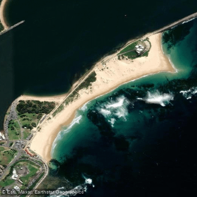
Nobbys Beach
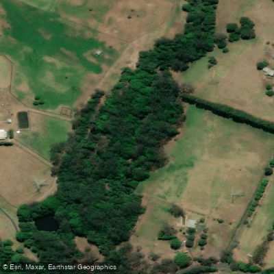
Wyong River
Explore New South Wales waters
Top paddling waters
No waters available right now.
Popular Cities
Loading popular cities...
Explore near Stony Creek

Smarter Paddling Starts in the App.
Paddleways gives you everything you need to plan smarter, paddle better, and own every trip from first launch to takeout.