Paddling in D'Aguilar National Park
- National Park
- Lakes
- 0
- Rivers
- 59
- Access
- 0
- Boat Ramps
- 0
- Shops
- 0
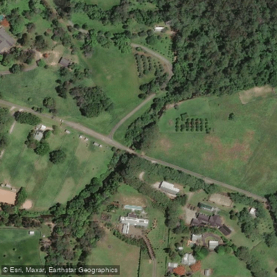
D'Aguilar National Park sits along the D'Aguilar Range on the northwest fringe of Brisbane, Queensland.
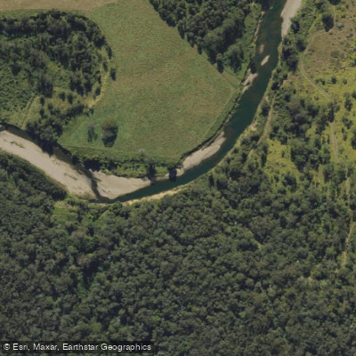
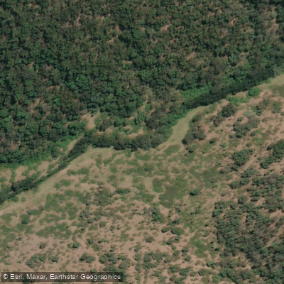
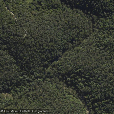
It is a forested mountain park, and the water inside it runs accordingly: creek-fed drainages, headwater streams, and the upper reaches of rivers that flow out toward the coastal plain. This is not flatwater touring country.
The paddling here is intimate, seasonal, and tied closely to rainfall. The North Pine River and South Pine River both have origins within or near the park, as does Enoggera Creek.
These are the larger named waters, but the character of paddling in D'Aguilar is shaped more by the smaller tributaries — Stony Creek, Gold Creek, Branch Creek, Jollys Creek, North Neurum Creek, and Cabbage Tree Creek among them.
At normal flows these run shallow and technical, threading through dense subtropical forest. After significant rain they come up fast and carry real force.
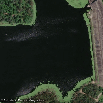
One operator, Walkabout Creek Adventures, runs kayak and stand-up paddleboard sessions in the park on a lake within the park boundary, which gives paddlers a calmer entry point into the landscape without committing to moving water.
Queensland Parks and Wildlife Service notes that a special permit is not required for recreational activities in D'Aguilar National Park unless they involve organised events.
That distinction matters: a private paddler putting on a creek is in a different category than a guided group or a club event. Check with the park directly before organising anything with numbers. The forest and the water are the same system here.
What keeps the creeks running clean keeps the paddling worth doing — and in a park this close to a major city, that connection between use and condition is worth holding onto every time you put in.
Water and weather conditions (10 day forecast)
See the best times to paddle D'Aguilar National Park and check the forecast before you go.
No forecast data available.
Paddle smarter with real-time insights
Whether you're en route and conditions shift or you're looking for the best spot based on current flows, we enable you to make informed decisions on the fly.







Paddling near D'Aguilar National Park
Loading...
Gateway towns
Where to base yourself for paddling in D'Aguilar National Park.
- The GapQLD
Home to the Walkabout Creek Discovery Centre on Mount Nebo Road, the main visitor entry point for the park.
- Mount NeboQLD
A small community inside the park boundary with access to trails and the northern sections of D'Aguilar.
- Mount MeeQLD
Serves as the base for the northern Mount Mee section, with access to Neurum Creek and Archer campgrounds via 4WD.
Explore D'Aguilar National Park
Top paddling waters
Popular Cities
Loading popular cities...

Smarter Paddling Starts in the App.
Paddleways gives you everything you need to plan smarter, paddle better, and own every trip from first launch to takeout.