South Pine River
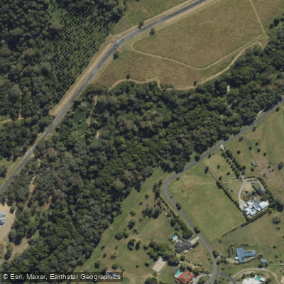
South Pine River
- Boat Ramps
- 1
- Access Points
- 0
- Campsites
- 0
The South Pine River is a tidal estuarine waterway in southeast Queensland that joins the North Pine River near Murrumba Downs, not far from the Bruce Highway bridge where the Gateway Arterial connects. The river flows through mangrove-lined banks and is characteristic of tidal estuary paddling, meaning water levels and current direction are governed by the tide rather than rainfall or upstream flow.
The primary access point is Acacia Park on Pine River Road at Murrumba Downs, which features a graveled launch beach. The park sits on the opposite bank from where the South Pine River meets the North Pine River, with Four Mile Creek also located nearby just up the South Pine.
Tidal timing is the most important planning consideration on this river. The recommended window is two hours before and two hours after high tide. At high tide, a paddle of approximately twelve kilometers is possible from Acacia Park upstream to Young's Crossing. Paddlers should be cautious about timing a return trip: if you travel upstream and attempt to return at or near low tide, the river can dry out almost completely, leaving only isolated tidal pools and requiring portaging back to the launch point.
The character of the paddling is quiet and low-key, with the mangrove-lined banks providing a sheltered environment. The area is described as suitable for all types of canoes. Paddlers should be aware that fishing activity occurs on the river, including reports of illegal net use spanning the full width of the waterway, which could present a hazard particularly in low-visibility conditions.
Water access, boat ramps & amenities
Learn how to get on South Pine River. Uncover great paddling access points, boat ramps, and all the facilities you need for an unforgettable day on the water. Some locations shown may border or include private property. Always check property boundaries and applicable regulations before visiting. PaddleWays's Public & Private Land layer can help you plan your access with confidence.
Paddle smarter with real-time insights
Whether you're en route and conditions shift or you're looking for the best spot based on current flows, we enable you to make informed decisions on the fly.







Queensland licenses and regulations

Find Places to Paddle

Over 400,000 Places to Paddle
Every user gets free access to launch points, boat ramps, and public property parcels.


Water and weather conditions (10 day forecast)
See the best times to paddle South Pine River and check the forecast before you go.
South Pine River At Drapers Crossing
All Flow Stations
Paddling near South Pine River
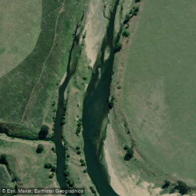
Brisbane River
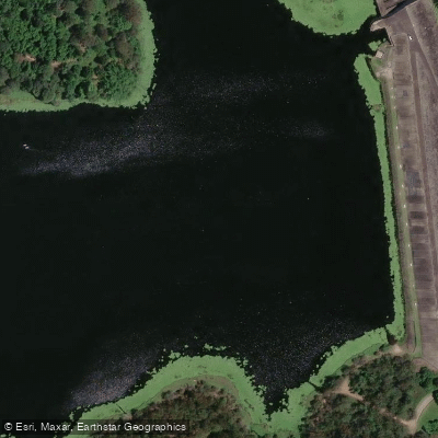
Enoggera Creek

Moreton Bay
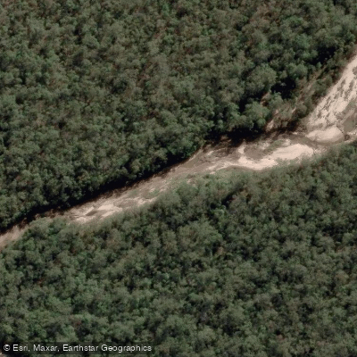
Oxley Creek
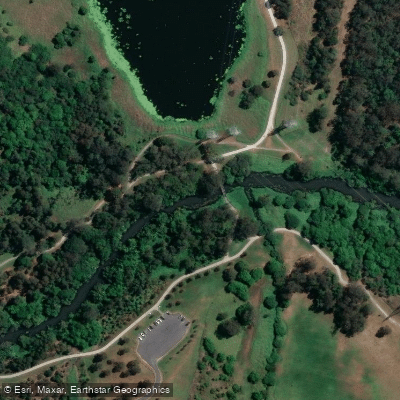
Bulimba Creek
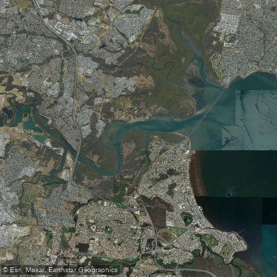
Pine River
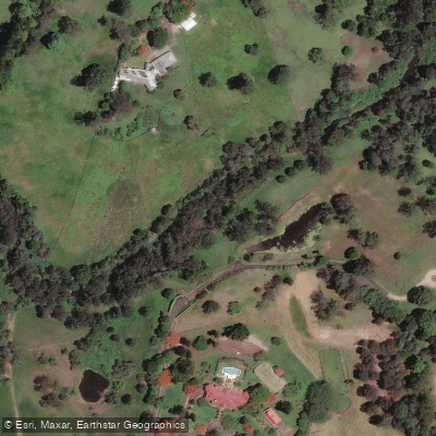
Moggill Creek
Cabbage Tree Creek
Nundah/Cabbage Tree Creek
Explore Queensland waters
Top paddling waters
No waters available right now.
Popular Cities
Loading popular cities...
Explore near South Pine River
Access points
Nearby waters
More in Queensland

Smarter Paddling Starts in the App.
Paddleways gives you everything you need to plan smarter, paddle better, and own every trip from first launch to takeout.