Enoggera Creek
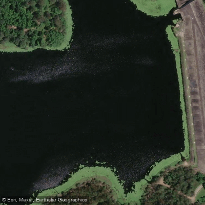
Enoggera Creek
- Boat Ramps
- 0
- Access Points
- 0
- Campsites
- 0
Enoggera Creek's lower section offers a 9-kilometre out-and-back paddle in the northern suburbs of Brisbane, accessible from a canoe launch off Sandgate Road in Albion, not far from the Albion Park Raceway. Parking at the launch point is ample relative to the light traffic the location receives, and the site is approximately 15 minutes' drive north of Brisbane's city centre. The route is rated moderate in difficulty and typically takes around three hours to complete.
From the launch, paddlers can head upstream or downstream toward the creek mouth at Breakfast Creek, where it meets the Brisbane River. The recommended approach is to head upstream first, with a suitable turnaround point at the footbridge near the Windsor Dog Park. On the return leg, continuing past the launch to the creek mouth provides views toward Newstead House and the surrounding parkland.
The creek is wide and reasonably sheltered from wind, which contributes to a manageable paddling experience. The scenery alternates between stretches of mangrove-lined shores and a succession of road and rail bridges. A notable landmark along the route is the spaghetti junction near the Royal Brisbane Women's Hospital — a dense, layered interchange of roads passing overhead. The combination of natural and urban elements gives the paddle a distinctly mixed character, moving between pockets of vegetation and infrastructure typical of an inner-suburban waterway.
The route is straightforward to navigate, with no tributaries and limited opportunity to take a wrong turn once on the water. The paddle can be undertaken year-round, though there is limited shade during the middle sections of the route, which is worth considering during warmer months or when paddling in the middle of the day.
Water access, boat ramps & amenities
Learn how to get on Enoggera Creek. Uncover great paddling access points, boat ramps, and all the facilities you need for an unforgettable day on the water. Some locations shown may border or include private property. Always check property boundaries and applicable regulations before visiting. PaddleWays's Public & Private Land layer can help you plan your access with confidence.
Paddle smarter with real-time insights
Whether you're en route and conditions shift or you're looking for the best spot based on current flows, we enable you to make informed decisions on the fly.







Queensland licenses and regulations

Find Places to Paddle

Over 400,000 Places to Paddle
Every user gets free access to launch points, boat ramps, and public property parcels.


Water and weather conditions (10 day forecast)
See the best times to paddle Enoggera Creek and check the forecast before you go.
Enoggera Ck At Enoggera Dam Hw
Paddling near Enoggera Creek
Brisbane River

Moreton Bay
Oxley Creek
Bulimba Creek
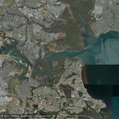
Pine River
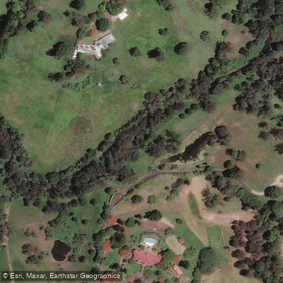
Moggill Creek
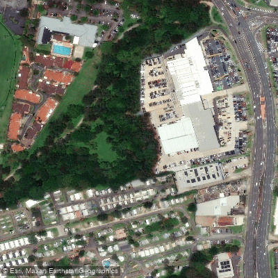
Cabbage Tree Creek
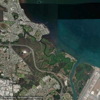
Nundah/Cabbage Tree Creek
South Pine River
Explore Queensland waters
Top paddling waters
No waters available right now.
Popular Cities
Loading popular cities...
Explore near Enoggera Creek

Smarter Paddling Starts in the App.
Paddleways gives you everything you need to plan smarter, paddle better, and own every trip from first launch to takeout.