Cabbage Tree Creek
Cabbage Tree Creek
- Boat Ramps
- 0
- Access Points
- 0
- Campsites
- 1
Cabbage Tree Creek is a tidal waterway in the northern Brisbane suburb of Shorncliffe, Queensland, offering a sheltered paddle through mangroves and suburban shoreline. The creek extends approximately 5.6 kilometres before becoming choked with vegetation just past the Gateway Motorway, making the total out-and-back distance around 15 kilometres from the main access point.
The primary put-in is the Shorncliffe Public Boat Ramp on Sinbad Street, Shorncliffe, located about 30 minutes north of Brisbane's CBD. Parking is ample at the ramp, though it is shared with motorised boaties and can become congested during peak periods. An alternative starting point is Brownsea Water Activities Centre at 89 Allpass Parade, used by organised groups.
Because the creek is tidal and the paddle runs upstream, timing is critical. The recommended window is within two to three hours either side of an incoming high tide; at low tide, sections can bottom out and become impassable. Wind conditions are generally manageable since much of the creek is wide and protected, but low-wind days are still preferable. The paddle can be undertaken year-round, though shade is limited in the middle portions of the route, making morning or early afternoon starts more comfortable.
The route passes under several bridge underpasses, including a road crossing at Sandgate Road, a railway bridge, and a cycleway underpass. Trains typically pass on the quarter-past and quarter-to the hour. The scenery transitions from mangrove-lined banks to shoreside residential properties, and roughly two-thirds of the way along, the creek opens into a noticeably wider and more expansive body of water. A notable landmark is Curlew Park at approximately 2 kilometres from the Brownsea start point, which has toilet facilities, though the toilets are around 500 metres from the water.
Water quality is a significant concern. E. coli levels in the creek are elevated, attributed to urban runoff from the Chermside catchment and a sewage outlet along the route. Deliberate immersion or capsizing is strongly discouraged, and paddlers should wash hands before eating. Debris and rubbish have been documented in the creek, particularly near the Gateway Motorway bridge. Bull sharks have been reported in the creek by local fishermen. Traffic noise increases noticeably near the highway. The creek is also used for kayak fishing, with flathead and bream among the species targeted.
Water access, boat ramps & amenities
Learn how to get on Cabbage Tree Creek. Uncover great paddling access points, boat ramps, and all the facilities you need for an unforgettable day on the water. Some locations shown may border or include private property. Always check property boundaries and applicable regulations before visiting. PaddleWays's Public & Private Land layer can help you plan your access with confidence.
Paddle smarter with real-time insights
Whether you're en route and conditions shift or you're looking for the best spot based on current flows, we enable you to make informed decisions on the fly.







Queensland licenses and regulations

Find Places to Paddle

Over 400,000 Places to Paddle
Every user gets free access to launch points, boat ramps, and public property parcels.


Water and weather conditions (10 day forecast)
See the best times to paddle Cabbage Tree Creek and check the forecast before you go.
Lake Manchester
Paddling near Cabbage Tree Creek
Brisbane River
Enoggera Creek

Moreton Bay
Oxley Creek
Bulimba Creek
Pine River
Moggill Creek
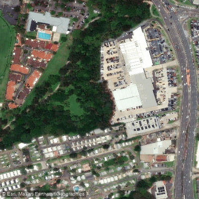
Cabbage Tree Creek
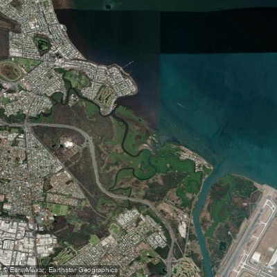
Nundah/Cabbage Tree Creek
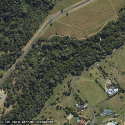
South Pine River
Explore Queensland waters
Top paddling waters
No waters available right now.
Popular Cities
Loading popular cities...
Explore near Cabbage Tree Creek

Smarter Paddling Starts in the App.
Paddleways gives you everything you need to plan smarter, paddle better, and own every trip from first launch to takeout.