North Pine River
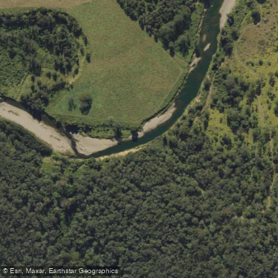
North Pine River
- Boat Ramps
- 0
- Access Points
- 0
- Campsites
- 1
The North Pine River is located in South East Queensland, north of Brisbane, flowing from the D'Aguilar Range before joining the South Pine River at Lawnton to form the Pine River, which ultimately drains into Bramble Bay in Moreton Bay. The river takes its name from the hoop pines that once lined its banks, though these are now largely gone. The lower section passes through a series of waterfront reserves and parks, giving it a strong natural character despite its proximity to suburban Brisbane.
Moreton Bay Regional Council has established a canoe trail covering approximately 13 kilometres of the North Pine River downstream from Youngs Crossing in Petrie. The primary access points are Youngs Crossing on Youngs Crossing Road at Petrie, and the boat ramp off Dohles Rocks Road at Griffin. The boat ramp at the Tinchi Tamba Wetlands end is rubberised and described as easy to use, with no muddy residue on the ramp surface. The area around the Tinchi Tamba access point includes a day-use area with good facilities.
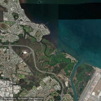
The character of the river changes noticeably along this trail. For the first couple of kilometres below Youngs Crossing, the river is relatively narrow with pleasant scenery through parks and reserves. Further downstream, the river widens and mangroves become the dominant vegetation. The final 4.5 kilometres to the Dohles Rocks ramp passes through the Tinchi Tamba Wetlands, an important coastal bird habitat with significant birdlife. There are few houses along much of the route, contributing to a natural feel.
Tidal influence is a significant factor on this stretch of river. Timing a paddle with the tides makes travel easier and allows the trip to be completed in either direction. Paddlers heading upstream from the South Pine River confluence can travel approximately 8.5 kilometres to Youngs Crossing, while those heading downstream can cover nearly 5 kilometres to the Dohles Rocks boat ramp.
On the upper section of the river, below North Pine Dam and above Youngs Crossing, the river is generally quiet with fishing opportunities. The Tinchi Tamba Wetlands area is noted for abundant birdlife and plant life, with minimal residential development along the banks. The area around the river also carries cultural significance — the local Turrbal people called a nearby inlet "Mandin" and used it as a fish trap, a practice noted by explorer John Oxley when he travelled through the region.
Water access, boat ramps & amenities
Learn how to get on North Pine River. Uncover great paddling access points, boat ramps, and all the facilities you need for an unforgettable day on the water. Some locations shown may border or include private property. Always check property boundaries and applicable regulations before visiting. PaddleWays's Public & Private Land layer can help you plan your access with confidence.
Paddle smarter with real-time insights
Whether you're en route and conditions shift or you're looking for the best spot based on current flows, we enable you to make informed decisions on the fly.







Queensland licenses and regulations

Find Places to Paddle

Over 400,000 Places to Paddle
Every user gets free access to launch points, boat ramps, and public property parcels.


Water and weather conditions (10 day forecast)
See the best times to paddle North Pine River and check the forecast before you go.
North Pine River At North Pine Dam Hw
Paddling near North Pine River
Brisbane River
Enoggera Creek

Moreton Bay
Oxley Creek
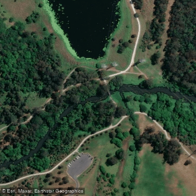
Bulimba Creek
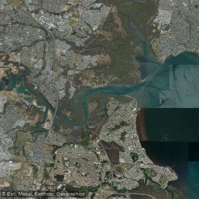
Pine River
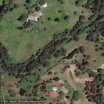
Moggill Creek
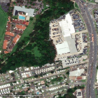
Cabbage Tree Creek
Nundah/Cabbage Tree Creek
South Pine River
Explore Queensland waters
Top paddling waters
No waters available right now.
Popular Cities
Loading popular cities...
Explore near North Pine River
Access points
Nearby waters
More in Queensland

Smarter Paddling Starts in the App.
Paddleways gives you everything you need to plan smarter, paddle better, and own every trip from first launch to takeout.