Paddling in Eurobodalla National Park
- National Park
- Lakes
- 11
- Rivers
- 11
- Access
- 0
- Boat Ramps
- 3
- Shops
- 0
Eurobodalla National Park runs along the far south coast of New South Wales, stretching from Moruya Head to Mystery Bay.
The water here is coastal and estuarine — lakes opening to the sea, tidal creeks, and the kind of flat, sheltered paddling that rewards patience over power.
There is no whitewater to speak of; this is a park for touring paddlers, kayakers, and anyone who wants to read tidal movement rather than rapid sequences. The lakes are the heart of it.
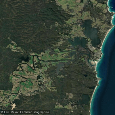
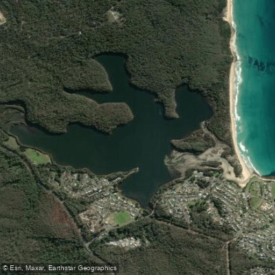
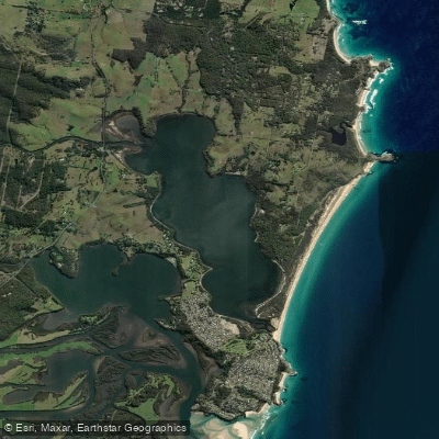
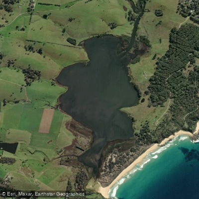
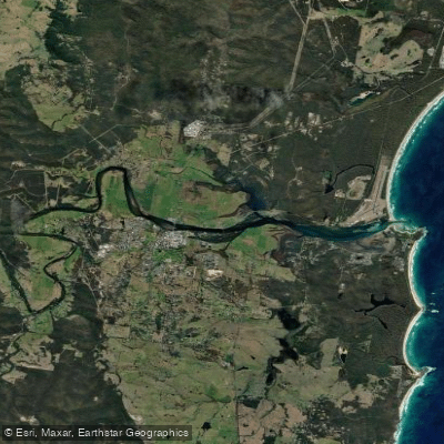
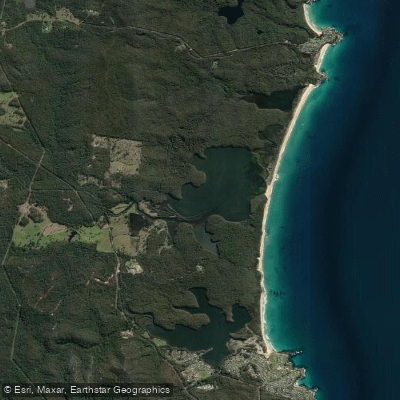
Brou Lake, Mummuga Lake, Corunna Lake, and Nangudga Lake sit within or alongside the park, and all are known for kayaking and waterskiing. Tuross Lake and the lower Tuross River extend the paddling further south, accessible from Tuross Head.
Congo Creek connects the inland edge of the park to the coast near the Congo campground, a family-oriented base that puts you close to the water.
These are calm-water environments where tidal timing matters more than water level, and where summer boat traffic can add chop that autumn and winter paddling largely avoids. Autumn earns particular attention on these waters.
Once summer runoff settles, estuaries clear noticeably, and reduced boat traffic means quieter, glassier conditions through March and into May.
The park's lakes are popular enough in summer that paddlers who prefer unhurried water will find the shoulder seasons more rewarding. Fishing from a kayak is a draw here — Brou Lake is specifically called out for it — and NSW fishing rules apply.
Check with the park directly for any conditions specific to individual water bodies, as rules can vary by location within the park. Eurobodalla is not a destination for paddlers chasing current.
It is a destination for paddlers who want to move slowly through coastal country, watch birdlife work the shallows, and find out what the water looks like when the crowds have gone home.
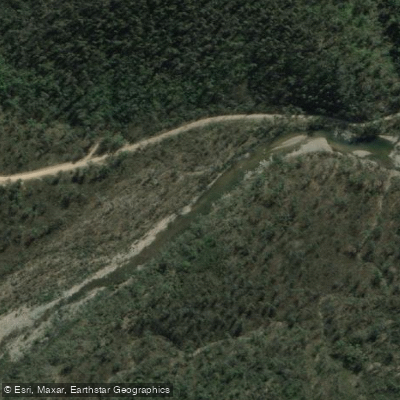
Top waters to paddle near Eurobodalla National Park
Water and weather conditions (10 day forecast)
See the best times to paddle Eurobodalla National Park and check the forecast before you go.
No forecast data available.
Paddle smarter with real-time insights
Whether you're en route and conditions shift or you're looking for the best spot based on current flows, we enable you to make informed decisions on the fly.







Paddling near Eurobodalla National Park
Loading...
Gateway towns
Where to base yourself for paddling in Eurobodalla National Park.
- NaroomaNew South Wales
Southern gateway town with accommodation, tours, and access to the Mystery Bay end of the park.
- MoruyaNew South Wales
Northern gateway sitting near Moruya Heads, the park's northern boundary, with services for visitors.
- Tuross HeadNew South Wales
Coastal town at the southern end of the Bingi Dreaming Track with beach access into the park.
- BodallaNew South Wales
Small historic town close to park entrances near Potato Point, used as a base for day visits.
Explore Eurobodalla National Park
Top paddling waters
Popular Cities
Loading popular cities...

Smarter Paddling Starts in the App.
Paddleways gives you everything you need to plan smarter, paddle better, and own every trip from first launch to takeout.