Tuross River
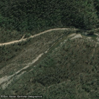
Tuross River
- Boat Ramps
- 1
- Access Points
- 0
- Campsites
- 1
The Tuross River is located on the New South Wales South Coast in the Eurobodalla region, flowing through a system of lakes, estuaries, and islands before reaching the coast near Tuross Head. The lower river is tidal and flatwater in character, rated S01 average with a highest grade of S02, making it accessible to paddlers of most skill levels. The upper river, above Bodalla, can include some rapids past Comerang Road, and paddlers venturing that far are advised to check conditions and water levels carefully.
The most popular access point for the lower river is Lavender Bay at Tuross Lake, off Trafalgar Road and Nelson Parade, where there is ample free parking alongside a shallow sandy edge. Kayaks and canoes can be hired from O'Brien's Boatshed on Nelson Parade. Toilets and waterfront cafes are available near the launch point. For the upper river, Snake Flat Reserve on Bumbo Road, on the western side of the Princes Highway bridge approximately three kilometres north of Bodalla, provides a launch point, though there are no toilet facilities there. A further upstream option is Tyrone Bridge near the Nerrigundah turnoff, from which paddlers have completed a downstream run of more than 20 kilometres to the Princes Highway bridge at Bodalla.
Several established routes exist on the lower system. A two-hour, 10-kilometre loop from Lavender Bay travels southwest across Tuross Lake, around the south side of Horse Island, under a small bridge, around the southern tip of Cambanthin Island, then down the Tuross River to Four Ways, returning via Bowns Creek and the main lake channel. A longer 18-kilometre round trip heads north to Horse Island, then west up the estuary to and around Borang Lake. The entrance to Borang Lake is shallow and is best paddled on a high tide. A one-way upper river trip from Snake Flat Reserve to Silo Farm Bridge at Comerang Road covers approximately 11.4 kilometres. Paddlers are advised to carry a map and compass on the lake system, as the numerous islands and estuaries can make navigation confusing. The Eurobodalla Kayaking and Canoeing Brochure provides additional route information for the area.
Wildlife visible from the water includes birds, kangaroos, and emus. The river passes through rural pastoral land with low-lying foothills of Deua National Park visible to the west. Tidal movement affects conditions on the lower river, with exposed muddy banks at low tide. A local group, Eurobodalla Kayakers, organises a regular Friday morning paddle departing at 9am, welcoming visitors.
Water access, boat ramps & amenities
Learn how to get on Tuross River. Uncover great paddling access points, boat ramps, and all the facilities you need for an unforgettable day on the water. Some locations shown may border or include private property. Always check property boundaries and applicable regulations before visiting. PaddleWays's Public & Private Land layer can help you plan your access with confidence.
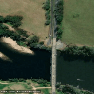
Paddle smarter with real-time insights
Whether you're en route and conditions shift or you're looking for the best spot based on current flows, we enable you to make informed decisions on the fly.








Find Places to Paddle

Over 400,000 Places to Paddle
Every user gets free access to launch points, boat ramps, and public property parcels.


Water and weather conditions (10 day forecast)
See the best times to paddle Tuross River and check the forecast before you go.
Tuross River At Tuross Vale
All Flow Stations
Paddling near Tuross River

Murrumbidgee River

Molonglo River

Queanbeyan River

Cotter River

Googong Reservoir

Shoalhaven River

Lake Burrinjuck

Goobagandra River

Eucumbene River

Lake Eucumbene
Explore New South Wales waters
Top paddling waters
No waters available right now.
Popular Cities
Loading popular cities...
Explore near Tuross River

Smarter Paddling Starts in the App.
Paddleways gives you everything you need to plan smarter, paddle better, and own every trip from first launch to takeout.