Whittakers Creek

Whittakers Creek
- Boat Ramps
- 0
- Access Points
- 0
- Campsites
- 0
Whittakers Creek is located in New South Wales, connected to Brou Lake, which sits just north of Narooma on the NSW South Coast. The creek is accessible as part of a day trip that combines paddling on Brou Lake with an upstream venture along the creek itself. One notable feature of the route is that paddlers can travel far enough up the creek to pass beneath the main South Coast highway, making for an interesting navigational landmark along the way.
The creek's character is shaped significantly by its connection to Brou Lake and the surrounding catchment. Following periods of heavy rainfall, water levels in the system rise considerably, and Brou Lake's outlet to the sea can become blocked by a sand bar, causing the lake and creek to run higher than usual. While this can add complexity to conditions, it also opens up more of the creek to exploration. Water temperatures can be notably cold, particularly after extended wet weather or storms, so paddlers should plan accordingly and take precautions against cold water immersion.
The area is well suited to kayaking as a day trip. Paddlers have found the combination of the lake and creek rewarding enough to return for repeat visits. The broader Narooma region offers multiple lake systems in close proximity, including Corunna Lake, which can be combined with a Whittakers Creek outing for those looking to explore more of the South Coast waterways over several days.
Water access, boat ramps & amenities
Learn how to get on Whittakers Creek. Uncover great paddling access points, boat ramps, and all the facilities you need for an unforgettable day on the water. Some locations shown may border or include private property. Always check property boundaries and applicable regulations before visiting. PaddleWays's Public & Private Land layer can help you plan your access with confidence.
Paddle smarter with real-time insights
Whether you're en route and conditions shift or you're looking for the best spot based on current flows, we enable you to make informed decisions on the fly.







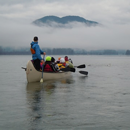
Find Places to Paddle

Over 400,000 Places to Paddle
Every user gets free access to launch points, boat ramps, and public property parcels.


Water and weather conditions (10 day forecast)
See the best times to paddle Whittakers Creek and check the forecast before you go.
No forecast data available.
Paddling near Whittakers Creek
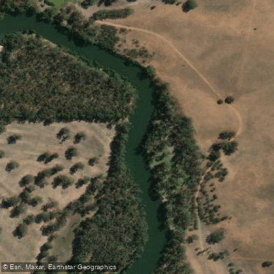
Murrumbidgee River
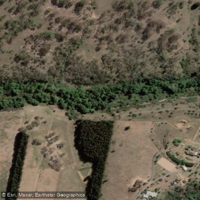
Molonglo River
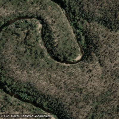
Queanbeyan River
Cotter River
Googong Reservoir
Shoalhaven River
Lake Burrinjuck
Goobagandra River
Eucumbene River
Lake Eucumbene
Explore New South Wales waters
Top paddling waters
No waters available right now.
Popular Cities
Loading popular cities...
Explore near Whittakers Creek
Smarter Paddling Starts in the App.
Paddleways gives you everything you need to plan smarter, paddle better, and own every trip from first launch to takeout.