Paddling in Guy Fawkes River National Park
- National Park
- Lakes
- 0
- Rivers
- 93
- Access
- 0
- Boat Ramps
- 0
- Shops
- 0
Guy Fawkes River National Park sits in the New England Tablelands of northern New South Wales, roughly halfway between Armidale, Grafton, and Dorrigo.
The terrain is rugged — ranges, gorges, river valleys, and escarpment edges — and the water that drains it runs accordingly: mostly slow-moving creeks and rivers suited to calm-water paddling rather than whitewater.
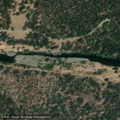
The Boyd River at Dalmorton is the park's most accessible paddling water. Swimming, canoeing, and fishing are all done here, and it's the kind of spot where you put in without a long approach.
Chaelundi campground, reached via an unsealed road off the Armidale–Grafton road near Dundurrabin, sits beside a small creek that's suitable for paddling directly from camp — low-key, exploratory water rather than a dedicated run.
The park's creek network — Pine Creek, Doughboy Creek, Bobs Creek, Boundary Creek, and others draining the escarpment country — feeds the Guy Fawkes River valley below.
The valley itself is remote; reaching the river on foot takes experienced bushwalkers the better part of a day from the escarpment tracks. That remoteness shapes what paddling here means: this is not a park where you drive to a put-in and run a gradient.
Access is the challenge, and self-sufficiency is the baseline. The park is managed by NSW National Parks and Wildlife Service.
Check with them directly before any trip for current conditions, access restrictions, and any permit requirements — the unsealed roads that reach most of the park's water can be rough and are weather-dependent.
The Guy Fawkes River valley rewards the paddler who is also prepared to walk, camp, and navigate on their own terms. The water is here; the infrastructure largely isn't.
Top waters to paddle near Guy Fawkes River National Park
Water and weather conditions (10 day forecast)
See the best times to paddle Guy Fawkes River National Park and check the forecast before you go.
No forecast data available.
Paddle smarter with real-time insights
Whether you're en route and conditions shift or you're looking for the best spot based on current flows, we enable you to make informed decisions on the fly.







Paddling near Guy Fawkes River National Park
Loading...
Gateway towns
Where to base yourself for paddling in Guy Fawkes River National Park.
- EborNSW
Small village at the park's main entry point, with access to Ebor Falls and the Waterfall Way route into the park.
- DorrigoNSW
Gateway town to the east via Waterfall Way and Chaelundi Road, with accommodation and services for park visitors.
- ArmidaleNSW
Largest service hub to the west, providing accommodation, supplies, and access via Waterfall Way and Chaelundi Road.
- GraftonNSW
Southern gateway with access via Old Grafton Road and Chaelundi Road, serving visitors approaching from the coast.
Explore Guy Fawkes River National Park
Top paddling waters
Popular Cities
Loading popular cities...

Smarter Paddling Starts in the App.
Paddleways gives you everything you need to plan smarter, paddle better, and own every trip from first launch to takeout.