Paddling in Leeuwin-Naturaliste National Park
- National Park
- Lakes
- 0
- Rivers
- 8
- Access
- 0
- Boat Ramps
- 3
- Shops
- 0
Leeuwin-Naturaliste National Park runs along roughly 120 kilometres of Western Australia's southwestern coast, a narrow ridge of limestone and karri country between Cape Naturaliste in the north and Cape Leeuwin in the south.
The park is primarily a coastal and forest landscape — surf beaches, sea cliffs, caves, and tall forest — and the paddling here reflects that character. This is not a whitewater park or a lake district.
The water that matters most to paddlers is the Margaret River, and the Indian Ocean coast that frames the whole park. The Margaret River passes through the park near Prevelly, on the central coast.
Guided canoe trips run this stretch, pairing the river paddle with the surrounding forest and coastal scenery. The river here is calm enough for touring-style craft and accessible to paddlers who aren't chasing technical water.
The Alltrails description of the Margaret River paddle near Prevelly calls it a beauty of a route that glides past the park — flatwater, scenic, and manageable. The ocean is the other dimension.
The park's coastline is open to boating and kayaking, and the official park guidance lists paddling and kayaking explicitly among the activities, alongside surfing and fishing.
That same guidance carries a clear safety note: exercise extreme caution near cliff edges, pay attention to hazard warning signs, and consider carrying a personal location beacon.
The Southern Ocean swell along this coast is real and can change quickly — conditions that make coastal kayaking here a serious undertaking rather than a casual one.
The park is managed by DBCA (Department of Biodiversity, Conservation and Attractions) under Western Australia's parks system.
Check Explore Parks WA for current conditions, any closures related to the ongoing park improvement project, and access details before you launch. The Margaret River won't test your brace. The ocean might. Know which one you're paddling before you put in.
Top waters to paddle near Leeuwin Naturaliste National Park
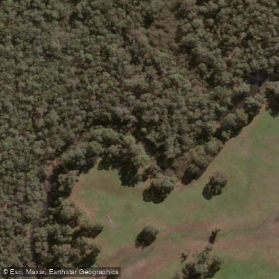
Margaret River
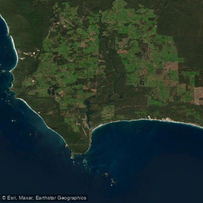
Hardy Inlet
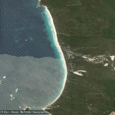
Boranup Beach
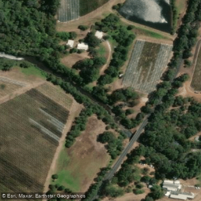
Wilyabrup Brook
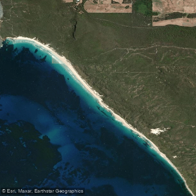
Deepdene beach
Ellen Brook
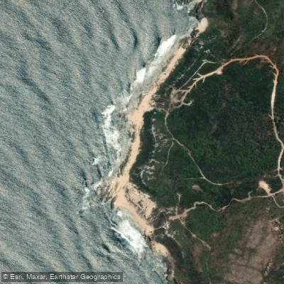
Moses Rock North
Wyadup Brook
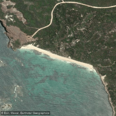
Cosy Corner Beach
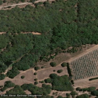
Quininup Brook
Water and weather conditions (10 day forecast)
See the best times to paddle Leeuwin-Naturaliste National Park and check the forecast before you go.
No forecast data available.
Paddle smarter with real-time insights
Whether you're en route and conditions shift or you're looking for the best spot based on current flows, we enable you to make informed decisions on the fly.







Paddling near Leeuwin-Naturaliste National Park
Loading...
Gateway towns
Where to base yourself for paddling in Leeuwin-Naturaliste National Park.
- DunsboroughWestern Australia
Northern hub for the park, with lodging and services closest to Cape Naturaliste and Sugarloaf Rock.
- Margaret RiverWestern Australia
Central base with the widest range of lodging, tours, and outfitters for the park's mid-section and Cape to Cape Track.
- YallingupWestern Australia
Small coastal base near Canal Rocks and northern park beaches, popular with surfers and day visitors.
- AugustaWestern Australia
Southern gateway town, the closest base for Cape Leeuwin Lighthouse and the park's southern end.
Explore Leeuwin-Naturaliste National Park
Top paddling waters
Popular Cities
Loading popular cities...

Smarter Paddling Starts in the App.
Paddleways gives you everything you need to plan smarter, paddle better, and own every trip from first launch to takeout.