Margaret River
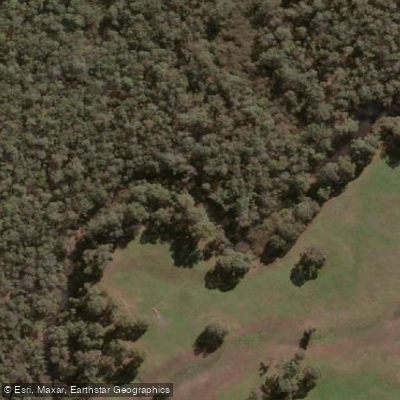
Margaret River
- Boat Ramps
- 0
- Access Points
- 0
- Campsites
- 1
The Margaret River in Western Australia runs approximately 60km from its source near the Whicher Range to where it meets the Indian Ocean. The river winds through karri and jarrah forests and supports freshwater fish, turtles, and migratory birds. The stretch accessible to paddlers is notably free of motor craft, which keeps the water clean and the experience quiet.
The most practical starting point for paddling is the river mouth at Prevelly Beach, near Surfers Point where the river meets the ocean. From here, paddlers can head upstream along a roughly 3km stretch that has no motorboat or vehicle access. Access points in the area include the Barrett Street Weir and Canebreak Pool, in addition to the river mouth launch site. Parking is available near river access points.
The river corridor features limestone cliffs that are particularly striking in late afternoon light, forested kangaroo habitats, and a mix of pioneer and Aboriginal heritage sites along the banks. Wildlife commonly spotted includes ospreys fishing in the river, kangaroos emerging from the forest edge, and various bird species including cockatoos. The water is described as clear.
Early mornings tend to offer calmer water and fewer other users. Checking weather and wind conditions before heading out is advisable. Guided canoe tours operate from the river mouth, typically departing around 10:15am and running for several hours upstream. A sunset canoe tour option also exists, limited to small groups of six, launching from a separate location on the river and paddling upstream toward the limestone cliffs.
Equipment hire and guided tours are available through local operators, making the river accessible to paddlers of varying experience levels. The Bushtucker Tours canoe experience accommodates ages from young children to adults using stable multi-seat canoes. Stand-up paddleboarding is available at Gnarabup Beach nearby, operated through an ASI-accredited school, though this is an ocean/bay location rather than the river itself.
The river's character is defined by its forested banks, clear water, absence of motorized traffic, and relatively straightforward paddling conditions on the upstream stretch from the mouth.
Water access, boat ramps & amenities
Learn how to get on Margaret River. Uncover great paddling access points, boat ramps, and all the facilities you need for an unforgettable day on the water. Some locations shown may border or include private property. Always check property boundaries and applicable regulations before visiting. PaddleWays's Public & Private Land layer can help you plan your access with confidence.
Paddle smarter with real-time insights
Whether you're en route and conditions shift or you're looking for the best spot based on current flows, we enable you to make informed decisions on the fly.







Western Australia licenses and regulations

Find Places to Paddle

Over 400,000 Places to Paddle
Every user gets free access to launch points, boat ramps, and public property parcels.


Water and weather conditions (10 day forecast)
See the best times to paddle Margaret River and check the forecast before you go.
Margaret River - Willmots Farm
Paddling near Margaret River
Preston River
Tobys Inlet
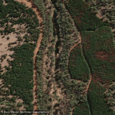
Blackwood River
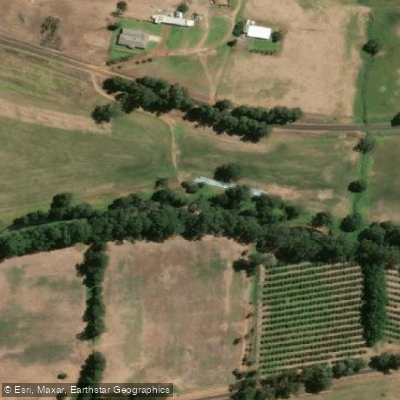
Collie River
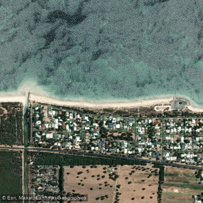
Abbey Beach
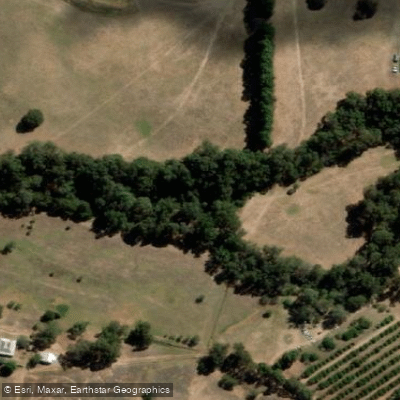
Capel River
Donnelly River
Eagle Bay
Brunswick River
Explore Western Australia waters
Top paddling waters
No waters available right now.
Popular Cities
Loading popular cities...
Explore near Margaret River
Access points
Nearby waters
More in Western Australia

Smarter Paddling Starts in the App.
Paddleways gives you everything you need to plan smarter, paddle better, and own every trip from first launch to takeout.