Boranup Beach
- Saltwater
- Beach
Boranup Beach
- Saltwater
- Beach
- Sq. miles
- 1
- Boat Ramps
- 2
- Access Points
- 0
- Campsites
- 1
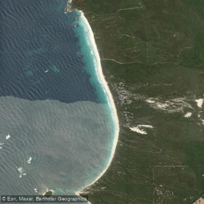
Boranup Beach is a remote, ten-kilometer stretch of white sand beach backed by towering karri forest on the West Australian coast south of Margaret River. Access for paddlers is a significant consideration, as reaching the beach typically requires a four-wheel drive vehicle. The main access is via Boranup Drive, where a soft sand track leads from the road to the beach itself, a drive of roughly five minutes. Vehicles park directly on the sand, and it is a local rule and practical necessity to deflate tyres before driving onto the beach. An alternative, slightly easier route is via the southern entry to Boranup Drive, past the Boranup Campground, and onto a four-wheel drive track at Grace Road, which ends at a car park and lookout. There are no formal boat ramps, showers, or kiosks at the beach. The overall character is one of complete undeveloped wilderness, offering solitude and dramatic scenery where the forest meets the Southern Ocean.
The paddling conditions are dominated by the open ocean. The surf can vary; on moderate swells, small waves roll through, while larger swells activate a more powerful beach break. The water is unpatrolled and considered dangerous for swimming due to serious hazards like rip currents and shore dump, which are critical safety considerations for any paddler launching through the surf. The beach is a surf spot, with waves suitable for expert surfers along its length and some friendlier waves in the shore for beginners, though caution regarding rips is emphasized. The best conditions for surfing, which can be inferred for experienced paddlers in surf craft, are with northeast winds and swells between 2.0 to 3.5 meters, typically from November to April. The beach faces the open ocean, making it exposed to prevailing winds and swells.
The landscape is the primary attraction, featuring an uninterrupted view of the horizon and endless coastline. The beach is exceptionally long and flat where the tide has packed the sand, leading to soft drifts near the tree line. The immediate backdrop is the unique Boranup Forest, comprised of tall, pale-barked karri trees, which is the farthest west these trees are known to grow. The beach sits within a national park where dogs are strictly not permitted. Given the remote nature, lack of facilities, and potentially hazardous water conditions, paddlers must be self-sufficient, experienced in handling ocean surf, and prepared for serious off-road driving to access the launch site.
Water access, boat ramps & amenities
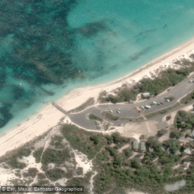
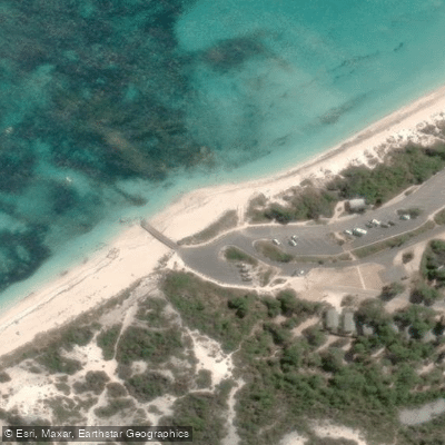
Learn how to get on Boranup Beach. Uncover great paddling access points, boat ramps, and all the facilities you need for an unforgettable day on the water. Some locations shown may border or include private property. Always check property boundaries and applicable regulations before visiting. PaddleWays's Public & Private Land layer can help you plan your access with confidence.
Paddle smarter with real-time insights
Whether you're en route and conditions shift or you're looking for the best spot based on current flows, we enable you to make informed decisions on the fly.







Western Australia licenses and regulations

Find Places to Paddle

Over 400,000 Places to Paddle
Every user gets free access to launch points, boat ramps, and public property parcels.


Tides, wind & water conditions (10 day forecast)
On open water, wind and tide matter as much as the weather. See the best times to paddle Boranup Beach and check the marine forecast before you launch.
Loading tide predictions…
Paddling near Boranup Beach
Preston River
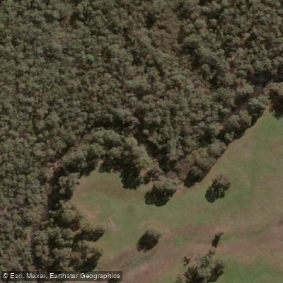
Margaret River
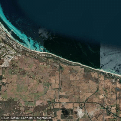
Tobys Inlet
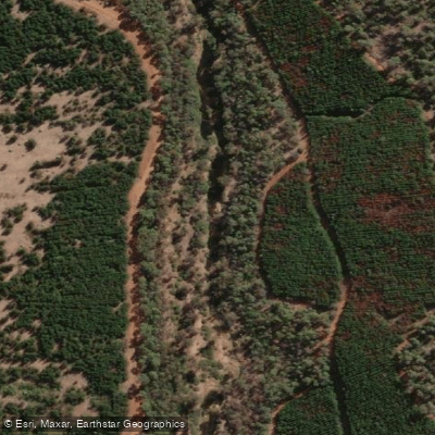
Blackwood River
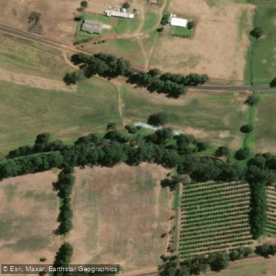
Collie River
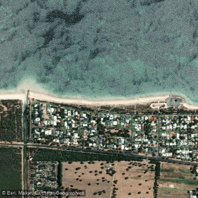
Abbey Beach
Capel River
Donnelly River
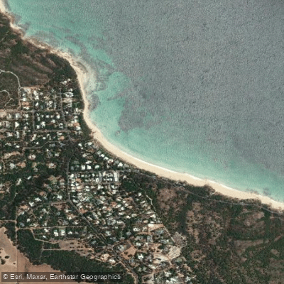
Eagle Bay
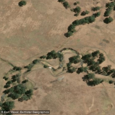
Brunswick River
Explore Western Australia waters
Top paddling waters
No waters available right now.
Popular Cities
Loading popular cities...
Explore near Boranup Beach
Nearby waters
More in Western Australia

Smarter Paddling Starts in the App.
Paddleways gives you everything you need to plan smarter, paddle better, and own every trip from first launch to takeout.