Paddling in Myall Lakes National Park
- National Park
- Lakes
- 4
- Rivers
- 28
- Access
- 0
- Boat Ramps
- 5
- Shops
- 0
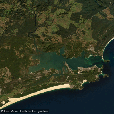
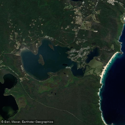
Myall Lakes National Park sits on the NSW mid-north coast, roughly three hours north of Sydney, protecting one of the state's largest coastal lake systems.
The water here is flatwater — interconnected brackish lakes, tidal rivers, and sheltered passages — with no whitewater to speak of. The paddling is touring and camping, measured in days rather than hours. Three lakes anchor the system.
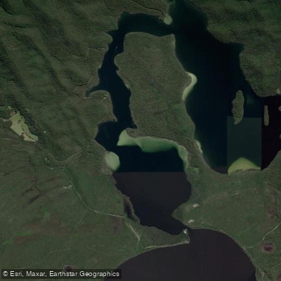
Bombah Broadwater, in the south, sits in the flow of the Myall River and carries tannin-stained, orange-tinted water.
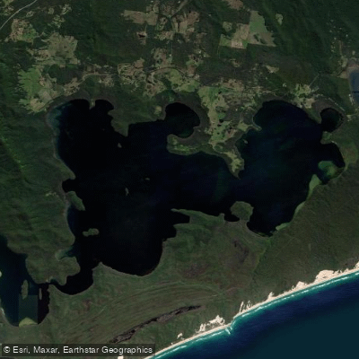
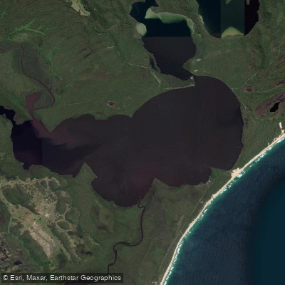
The middle lake, Boolambayte, transitions from that dark water to clear as you move north, with enough light penetration to support aquatic vegetation. Myall Lake, the largest and most northerly, opens into wide, shallow expanse.
Because both the Broadwater and Myall Lake are large and shallow, a moderate wind builds chop quickly — the lakes can go from mirror-flat to genuinely difficult in short order. Check forecasts before committing to open-water crossings.
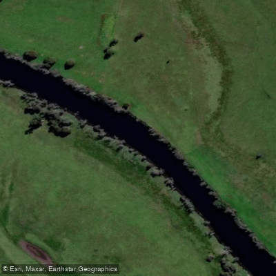
The Myall River connects the southern end of the system and is accessible from the Tea Gardens side, where Lazy Paddles operates guided tours out of that stretch.
Neranie Campground at the northern end of Myall Lake is a documented put-in for runs south toward Shelly Beach. Korsmans Landing works well for overnight trips out to 2 Mile Sands.
Launching from Yeronga toward Rivermouth Campground is another established route. Violet Hill Road off The Lakes Way gives access to the Boolambayte end of the system. The Nerong Boat Ramp off Whimbrel Drive is the southern access point.
Many campsites inside the park are boat-accessible only, which rewards paddlers willing to move slowly and camp light.
A multi-day trip — the standard is three days — lets you work through the lake sequence at a pace that makes sense given wind and tidal movement. Despite being inland water, the system is tidal; factor that into timing on the river sections.
Park entry fees apply. Lazy Paddles holds a Parks Eco Pass as a licensed commercial operator. Check with NSW National Parks for current entry requirements before you go. The lakes are open year-round.
Winter nights run cold by Australian standards, but the water stays paddleable.
This is a Ramsar-listed wetland, and the wildlife — sea eagles, whistling kites, black swans, goannas, dingoes along the shore — is part of what you're moving through, not scenery behind glass. Paddle accordingly.
Top waters to paddle near Myall Lakes National Park
Water and weather conditions (10 day forecast)
See the best times to paddle Myall Lakes National Park and check the forecast before you go.
No forecast data available.
Paddle smarter with real-time insights
Whether you're en route and conditions shift or you're looking for the best spot based on current flows, we enable you to make informed decisions on the fly.







Paddling near Myall Lakes National Park
Loading...
Gateway towns
Where to base yourself for paddling in Myall Lakes National Park.
- Tea GardensNSW
Gateway town on the Myall River precinct side, with lodging, boat launches, and access to the park's waterways.
- Hawks NestNSW
Neighbouring holiday town paired with Tea Gardens, used as a base for exploring Bombah Broadwater and Mungo Brush.
- Seal RocksNSW
Small coastal village at the Sugarloaf Point precinct entrance, close to the lighthouse and southern park beaches.
- BulahdelahNSW
Inland town off the Pacific Highway serving as a staging point for the Bombah Point ferry and northern park access.
Explore Myall Lakes National Park
Top paddling waters
Popular Cities
Loading popular cities...

Smarter Paddling Starts in the App.
Paddleways gives you everything you need to plan smarter, paddle better, and own every trip from first launch to takeout.