Burdekin River
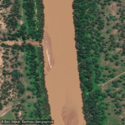
Burdekin River
- Boat Ramps
- 1
- Access Points
- 0
- Campsites
- 5
The Burdekin River runs through North and Far North Queensland, rising on the northern slopes of Boulder Mountain at Valley of Lagoons on the western slope of the Seaview Range, and flowing to the Coral Sea at Upstart Bay. With a catchment area of approximately 130,000 square kilometres, it holds the fourth-largest watershed of any exorheic drainage system in Australia and is ranked as the country's largest river by peak discharge volume.
One of the most significant characteristics of the Burdekin for trip planning purposes is its extremely erratic flow regime. Annual rainfall across the basin ranges from 200 to 1,600 millimetres depending on the monsoon season and the number of cyclones making landfall, and the river's discharge reflects this variability dramatically. Historical records show the river can run completely dry for as many as seven consecutive months, while severe cyclone seasons can push discharge to levels comparable to the Yangtze River. Paddlers must account for this unpredictability when planning any trip, as conditions can shift substantially between seasons and years.
Burdekin Falls Dam, located on the river at Mount Wyatt in Queensland, provides a developed access point with a boat ramp, car parking, camping areas, picnic facilities, toilets, BBQs, treated water, and a lookout. The road below the dam spillway is subject to closure when the dam is spilling or when a spill is imminent, which can affect access. Organised paddling events or competitions at the dam require prior approval from Sunwater, the dam operator, obtained by submitting a General Application for Access to Sunwater Land.
A mapped kayak route of approximately 112 kilometres exists in the vicinity of Charters Towers along the river. The river was first documented by Europeans during Ludwig Leichhardt's 1845 expedition and was named in honour of Thomas Burdekin, a sponsor of that journey.
Water access, boat ramps & amenities
Learn how to get on Burdekin River. Uncover great paddling access points, boat ramps, and all the facilities you need for an unforgettable day on the water. Some locations shown may border or include private property. Always check property boundaries and applicable regulations before visiting. PaddleWays's Public & Private Land layer can help you plan your access with confidence.
Paddle smarter with real-time insights
Whether you're en route and conditions shift or you're looking for the best spot based on current flows, we enable you to make informed decisions on the fly.







Queensland licenses and regulations

Find Places to Paddle

Over 400,000 Places to Paddle
Every user gets free access to launch points, boat ramps, and public property parcels.


Water and weather conditions (10 day forecast)
See the best times to paddle Burdekin River and check the forecast before you go.
Burdekin Sellheim D
All Flow Stations
Paddling near Burdekin River
Ross River
Gordon Creek
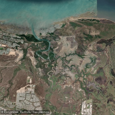
Bohle River
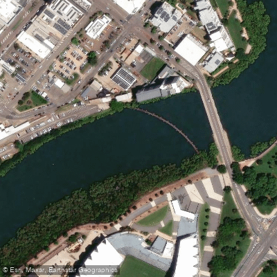
Ross Creek
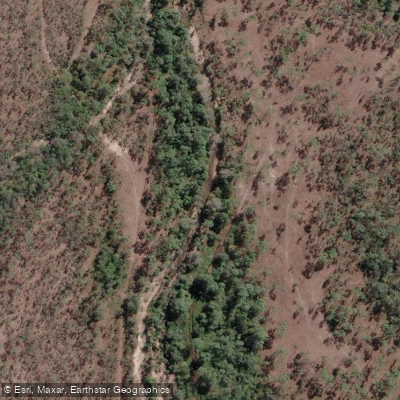
Althaus Creek
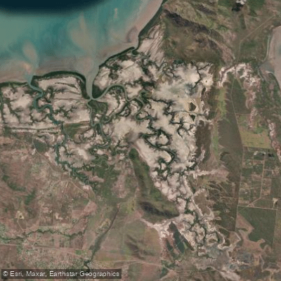
Crocodile Creek
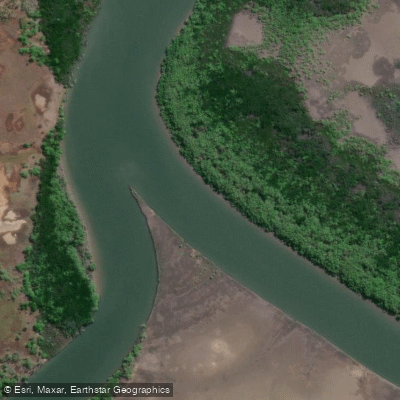
Barramundi Creek
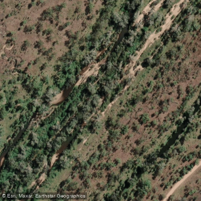
Keelbottom Creek
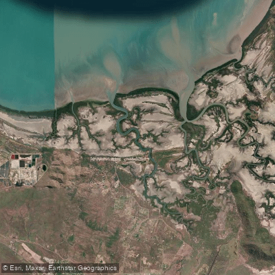
Alligator Creek
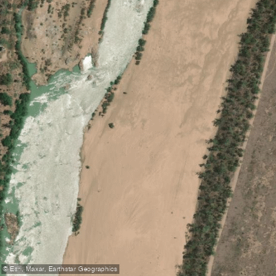
Burdekin River
Explore Queensland waters
Top paddling waters
No waters available right now.
Popular Cities
Loading popular cities...
Explore near Burdekin River
Access points
Nearby waters
More in Queensland

Smarter Paddling Starts in the App.
Paddleways gives you everything you need to plan smarter, paddle better, and own every trip from first launch to takeout.