Coombabah Creek
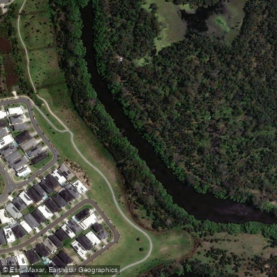
Coombabah Creek
- Boat Ramps
- 1
- Access Points
- 0
- Campsites
- 0
Coombabah Creek is located on the northern end of the Gold Coast in Queensland, flowing through an area of mangroves and wetlands near the suburb of Coombabah. The creek connects to Coombabah Lake and sits opposite the mouth of Saltwater Creek, placing it within a network of waterways that includes access to the Coomera River and broader Gold Coast estuary system. The area around the creek and lake is recognised as one of the most important fish nursery habitats in South East Queensland and is a protected fish habitat zone.
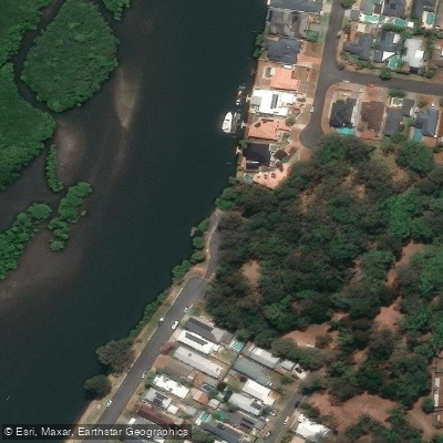
The primary launch point for paddlers is the boat ramp at 165 The Esplanade, Coombabah (also referred to as the Turana Street ramp). This is a single-lane concrete ramp with parking for approximately 12 vehicles with trailers, plus additional street parking. There is a fixed concrete jetty adjacent to the ramp, though at low tide it sits too high to step onto easily. The bank on both sides of the ramp is rocky and muddy, so paddlers should be prepared for a potentially awkward entry and exit. There are no toilet facilities, fish cleaning stations, or floating walkways at this ramp. The ramp is well protected from the elements and offers access to calm, sheltered water suitable for small craft.
From the Coombabah Creek ramp, paddlers can explore the mangrove-lined channels of the creek itself or venture further into Saltwater Creek. A more ambitious route involves paddling to Jabiru Island, from which it is possible to continue into the Coomera River or even circumnavigate Coomera Island. Jabiru Island has playground facilities and barbecues, making it a practical rest stop for day trips. The Jabiru Island boat ramp, rated as one of the better facilities in the area, is a nearby alternative launch point with triple and double lane ramps and parking for 23 cars with trailers.
The waterway is characterised by mangrove-fringed banks and calm, sheltered water, making it well suited to recreational paddling. Wildlife in the broader Coombabah wetlands area includes a variety of birdlife. Fishing from kayaks is popular in the creek, with species such as flathead and bream present in the estuary. The best fishing tides are noted as the last of the run-in tide and during the run-out, which is also worth factoring into paddling plans given the tidal influence on water levels and current.
Water access, boat ramps & amenities
Learn how to get on Coombabah Creek. Uncover great paddling access points, boat ramps, and all the facilities you need for an unforgettable day on the water. Some locations shown may border or include private property. Always check property boundaries and applicable regulations before visiting. PaddleWays's Public & Private Land layer can help you plan your access with confidence.
Paddle smarter with real-time insights
Whether you're en route and conditions shift or you're looking for the best spot based on current flows, we enable you to make informed decisions on the fly.







Queensland licenses and regulations

Find Places to Paddle

Over 400,000 Places to Paddle
Every user gets free access to launch points, boat ramps, and public property parcels.


Water and weather conditions (10 day forecast)
See the best times to paddle Coombabah Creek and check the forecast before you go.
No forecast data available.
Paddling near Coombabah Creek
Nerang River
Mudgeeraba Creek
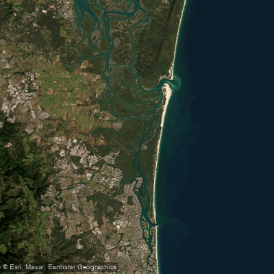
Southern Moreton Bay
Tallebudgera Creek

Moreton Bay
Coomera River
Currumbin Creek
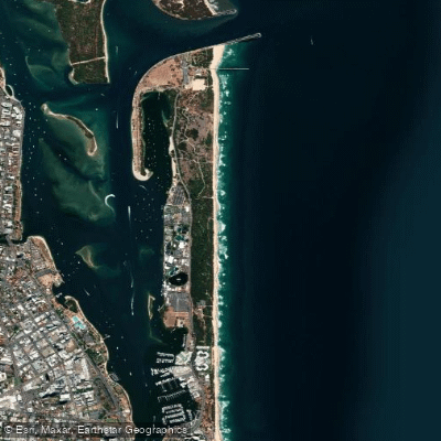
The Spit Beach
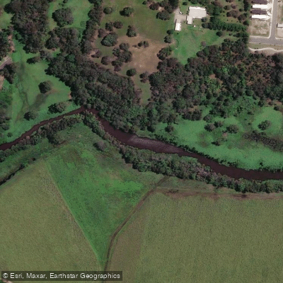
Pimpama River
Explore Queensland waters
Top paddling waters
No waters available right now.
Popular Cities
Loading popular cities...
Explore near Coombabah Creek

Smarter Paddling Starts in the App.
Paddleways gives you everything you need to plan smarter, paddle better, and own every trip from first launch to takeout.