Coomera River
Coomera River
- Boat Ramps
- 3
- Access Points
- 0
- Campsites
- 1
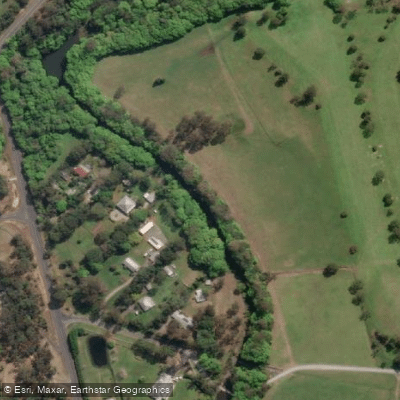
The Coomera River flows from the hinterland down to the Broadwater in the northern part of Gold Coast, Queensland. The river transitions in character as it moves from upstream to its mouth: the upper reaches are lined with dense vegetation that creates a more enclosed, shaded paddling environment, while the lower sections open up to marinas and broader waterways connecting to the Southport Broadwater.
April through October is the recommended window for paddling the river, aligning with the cooler, drier months of Queensland's subtropical climate. The river accommodates paddlers of varying skill levels, with calm stretches suitable for beginners and families alongside sections that offer more challenge.
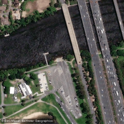
One established access point is the boat ramp at John Siganto Park at the end of Gawler Place, where paddlers can launch and paddle along the river beneath the Pacific Motorway Bridge. The Coomera boat ramp is another known launch site, described as having multiple lanes. Jabiru Island serves as a useful staging point for those wanting to explore the broader network, with options to paddle into Saltwater Creek, Coombabah Creek, or the Coomera River itself. From this area, paddlers can undertake extended trips by circumnavigating Coomera Island or heading north toward Couran Cove Resort on South Stradbroke Island. Jabiru Island also has playground facilities and barbecues for those making a full day of it.
The river's banks are characterised by mangrove-lined sections, and wildlife observation is a noted activity along the route. The waterway is shared with motorised vessels including jet skis, wakeboarding boats, and cruising craft, as well as stand-up paddleboards and kayaks, so paddlers should be aware of boat traffic, particularly in the lower reaches near the marinas. Common fish species in the river include bream, flathead, and whiting, which means anglers are frequently present on the water.
The river connects to the Southport Broadwater, which stretches from the Spit to the Coomera River and offers additional paddling options for those wanting to extend their route into more open water.
Water access, boat ramps & amenities
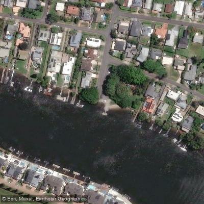
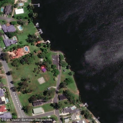
Learn how to get on Coomera River. Uncover great paddling access points, boat ramps, and all the facilities you need for an unforgettable day on the water. Some locations shown may border or include private property. Always check property boundaries and applicable regulations before visiting. PaddleWays's Public & Private Land layer can help you plan your access with confidence.
Paddle smarter with real-time insights
Whether you're en route and conditions shift or you're looking for the best spot based on current flows, we enable you to make informed decisions on the fly.







Queensland licenses and regulations

Find Places to Paddle

Over 400,000 Places to Paddle
Every user gets free access to launch points, boat ramps, and public property parcels.


Water and weather conditions (10 day forecast)
See the best times to paddle Coomera River and check the forecast before you go.
Coomera River At Army Camp
All Flow Stations
Paddling near Coomera River
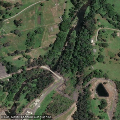
Nerang River
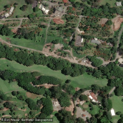
Mudgeeraba Creek
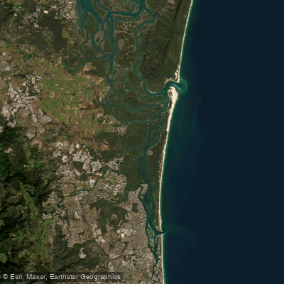
Southern Moreton Bay
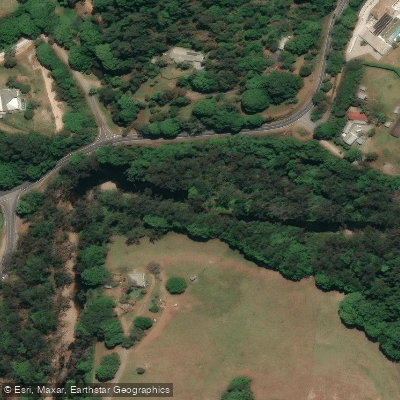
Tallebudgera Creek
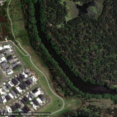
Coombabah Creek

Moreton Bay
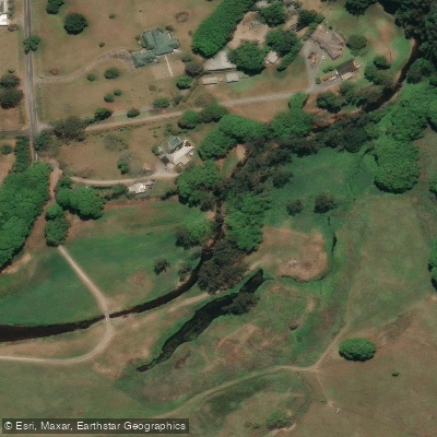
Currumbin Creek
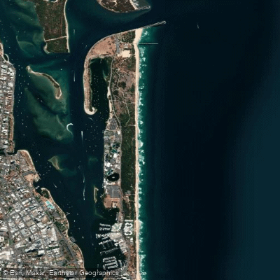
The Spit Beach
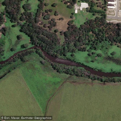
Pimpama River
Explore Queensland waters
Top paddling waters
No waters available right now.
Popular Cities
Loading popular cities...
Explore near Coomera River

Smarter Paddling Starts in the App.
Paddleways gives you everything you need to plan smarter, paddle better, and own every trip from first launch to takeout.