Currumbin Creek
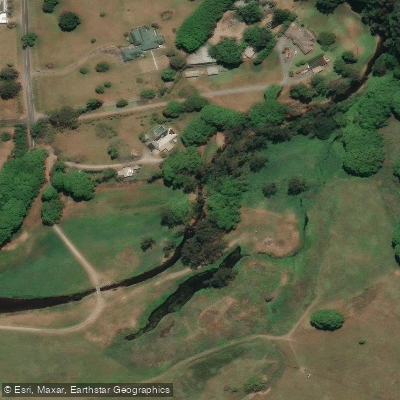
Currumbin Creek
- Boat Ramps
- 7
- Access Points
- 2
- Campsites
- 0
Currumbin Creek flows through South East Queensland on the Gold Coast, running approximately 24 kilometres in length. The creek is a popular waterway shared by paddleboarders, kayakers, rowers, jet skiers, and fishing enthusiasts, which means paddlers should expect regular boat traffic and plan accordingly.
Several access points serve paddlers well. The Boatshed on Duringan Street in Currumbin provides a safe launch spot with car parking. The Thrower Drive Boat Ramp is another well-used launching point, located on the northern banks of the creek and connected by a boardwalk to the Gold Coast Highway underpass. Currumbin Alley is also a recognised launch area, offering the option to head west into the creek or east out toward the ocean and beaches.
From Currumbin Alley, paddlers can head upstream through the creek toward Coastal Meadows Park, passing through areas of rainforest. The tidal nature of the creek is an important planning consideration — paddling upstream before the tide changes allows for a downstream return with the current rather than against it. Tidal flow affects both the ease of paddling and fishing conditions along the creek.
The creek passes through mangrove flats near Palm Beach-Currumbin, with fishing platforms located approximately one kilometre upstream of the tidal entrance. The waterway has a genuine community feel, with enough regular paddlers that chance encounters on the water are common.
Equipment and paddleboard hire is available locally through operators based at Thrower Drive in Currumbin, catering to both beginners and more experienced paddlers. The beach at the creek mouth is popular for swimming alongside water sports, and the rock wall near the entrance is a known fishing spot for flathead and bream.
The creek's character shifts depending on how far upstream a paddler travels — the lower reaches near the ocean entrance are more active and exposed to tidal influence, while heading further west brings paddlers into quieter, more vegetated surroundings with rainforest scenery.
Water access, boat ramps & amenities
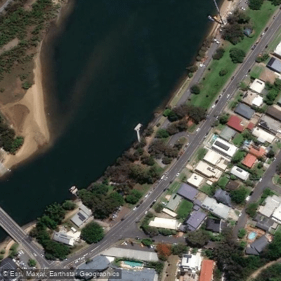
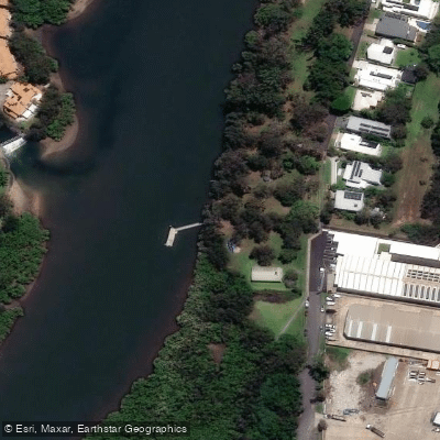
Learn how to get on Currumbin Creek. Uncover great paddling access points, boat ramps, and all the facilities you need for an unforgettable day on the water. Some locations shown may border or include private property. Always check property boundaries and applicable regulations before visiting. PaddleWays's Public & Private Land layer can help you plan your access with confidence.
Paddle smarter with real-time insights
Whether you're en route and conditions shift or you're looking for the best spot based on current flows, we enable you to make informed decisions on the fly.







Queensland licenses and regulations

Find Places to Paddle

Over 400,000 Places to Paddle
Every user gets free access to launch points, boat ramps, and public property parcels.


Water and weather conditions (10 day forecast)
See the best times to paddle Currumbin Creek and check the forecast before you go.
Currumbin Creek At Nicolls Bridge
All Flow Stations
Paddling near Currumbin Creek
Nerang River
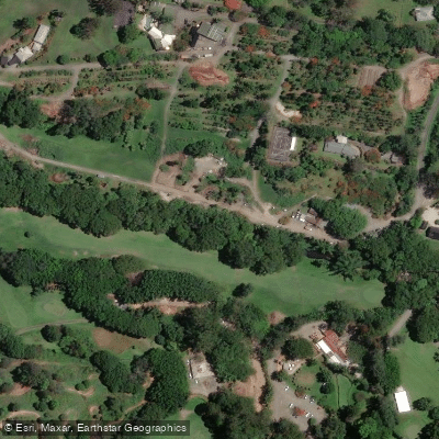
Mudgeeraba Creek
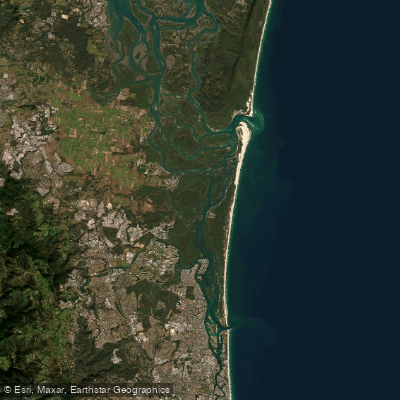
Southern Moreton Bay
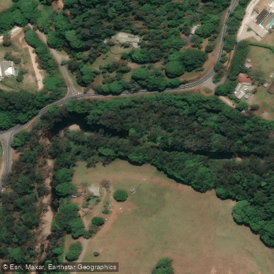
Tallebudgera Creek
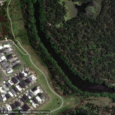
Coombabah Creek

Moreton Bay
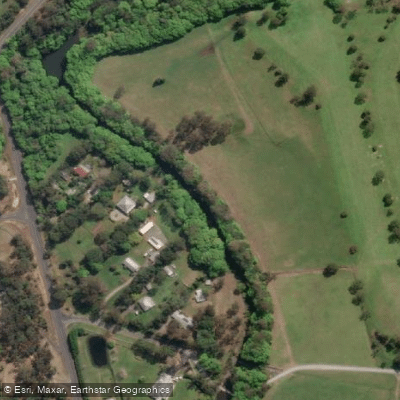
Coomera River
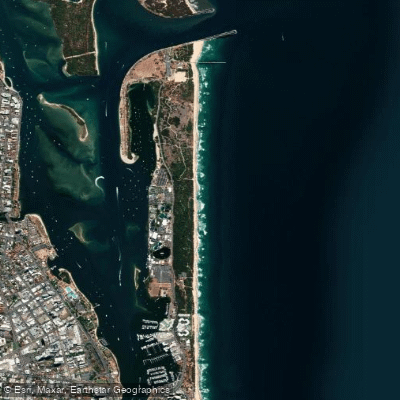
The Spit Beach
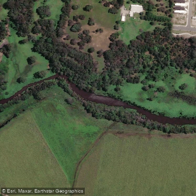
Pimpama River
Explore Queensland waters
Top paddling waters
No waters available right now.
Popular Cities
Loading popular cities...
Explore near Currumbin Creek
Access points
Nearby waters
More in Queensland

Smarter Paddling Starts in the App.
Paddleways gives you everything you need to plan smarter, paddle better, and own every trip from first launch to takeout.