Southern Moreton Bay
- Saltwater
- Estuary
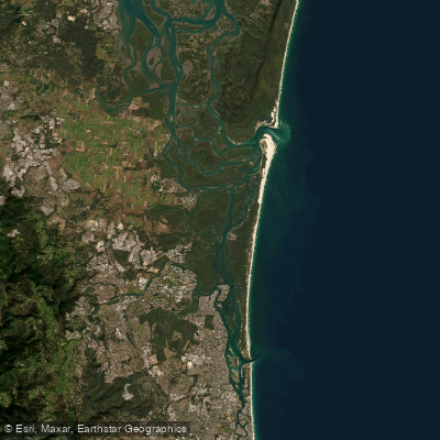
Southern Moreton Bay
- Saltwater
- Estuary
- Sq. miles
- 69
- Boat Ramps
- 15
- Access Points
- 27
- Campsites
- 0
Southern Moreton Bay, forming the southern part of the Moreton Bay Marine Park and Southern Moreton Bay Islands National Park, is a broad, shallow estuary system located north of the Gold Coast. It is characterized by expansive waters and a network of channels winding through numerous islands, including South Stradbroke, Russell, Karragarra, and Cobby Cobby Island. The area provides a tranquil paddling environment with opportunities to spot dolphins and sea turtles. Key access points for launching kayaks and paddleboards include the Cabbage Tree Point Boat Ramp and the public boat ramp at Pacific Point Marina in Jacobs Well, which also offers parking, fuel, and a café. Another noted launch site is the Carbrook Boat Ramp, which provides access to the southern bay islands and the northern Broadwater.
Paddling here is heavily influenced by tides and wind. The channels around the islands can shift, and it is recommended to travel with the rising tide when heading north along Cobby Cobby Island. The area is exposed, and conditions can change with the breeze; for example, anchorages like Horseshoe Bay on Peel Island are not suitable in a southerly wind. The bay experiences significant boat traffic, including ferries servicing the islands, which can be a hazard and occasionally annoying for paddlers. There are no surf zones at the primary launch points, which are within protected waterways.
Recommended routes include paddling from Jacobs Well to South Stradbroke Island, exploring the passages around the southern Moreton Bay islands, and visiting locations like Mosquito Creek (Cobby Passage). The water is generally clean in sheltered areas like Myora Reef, and the aesthetic is of a coastal marine park with clear waters in parts, sand hills, and historical sites such as the cemetery at Dunwich on North Stradbroke Island. Facilities are limited on the water, but some islands have small settlements where supplies can be obtained.
Water access, boat ramps & amenities
Learn how to get on Southern Moreton Bay. Uncover great paddling access points, boat ramps, and all the facilities you need for an unforgettable day on the water. Some locations shown may border or include private property. Always check property boundaries and applicable regulations before visiting. PaddleWays's Public & Private Land layer can help you plan your access with confidence.
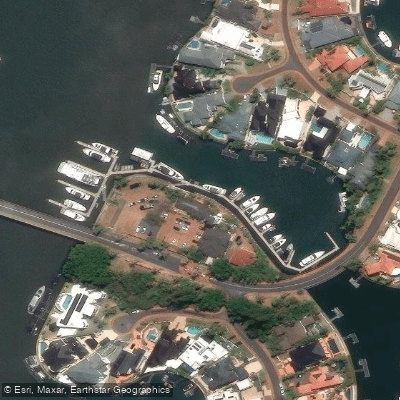
Amt Marine
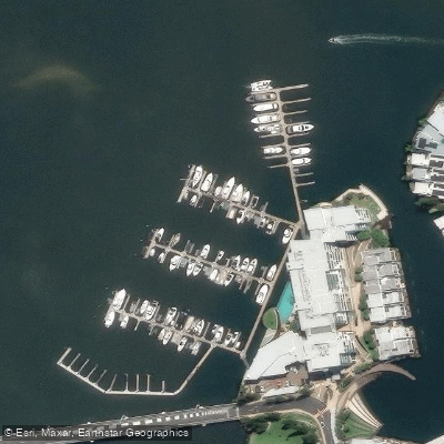
Ephraim Island Marina
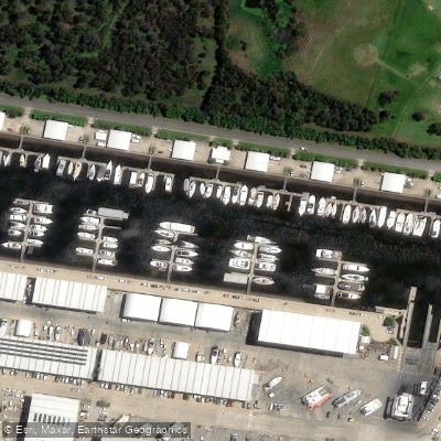
Gold Coast City Marina
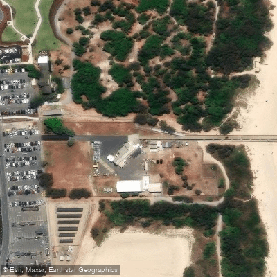
Gold Coast Seaway Jetty Decking And Handrail
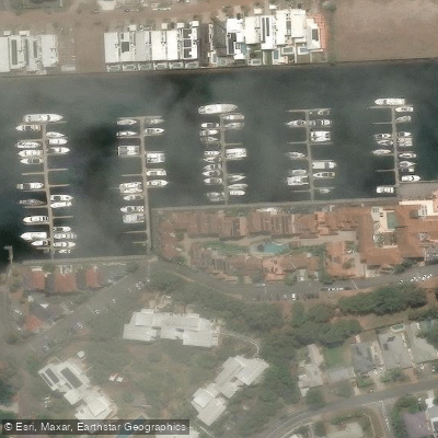
Hope Harbour Marina
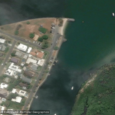
Hope Island, Boykambil Esplanade South
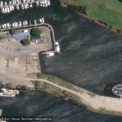
Horizon Shores
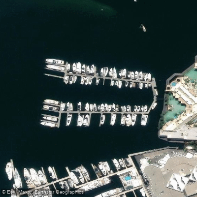
Imperial Hotel Gold Coast Marina
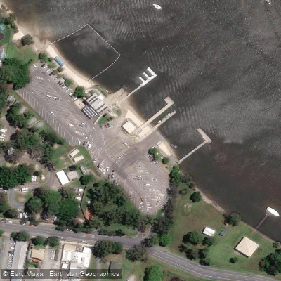
Jacobs Well, Pimpama Jacobs Well Road
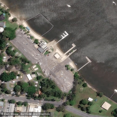
Jacobs Well, Pimpama Jacobs Well Road
Paddle smarter with real-time insights
Whether you're en route and conditions shift or you're looking for the best spot based on current flows, we enable you to make informed decisions on the fly.







Queensland licenses and regulations

Find Places to Paddle

Over 400,000 Places to Paddle
Every user gets free access to launch points, boat ramps, and public property parcels.


Tides, wind & water conditions (10 day forecast)
On open water, wind and tide matter as much as the weather. See the best times to paddle Southern Moreton Bay and check the marine forecast before you launch.
Loading tide predictions…
Paddling near Southern Moreton Bay
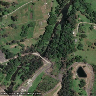
Nerang River
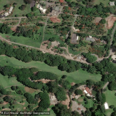
Mudgeeraba Creek
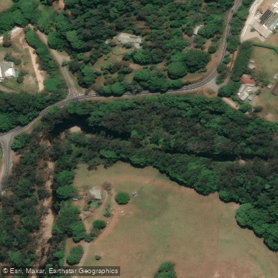
Tallebudgera Creek
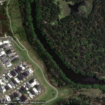
Coombabah Creek

Moreton Bay
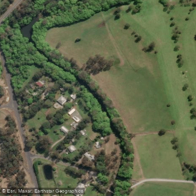
Coomera River
Currumbin Creek
The Spit Beach
Pimpama River
Explore Queensland waters
Top paddling waters
No waters available right now.
Popular Cities
Loading popular cities...
Explore near Southern Moreton Bay
Access points
- Cabbage Tree Point Boat Ramp
- Hollywell, Holly Avenue
- Hollywell, Howard Street
- Hollywell, Jasmine Avenue
- Hope Island, Boykambil Esplanade South
- Horizon Shores
- Jacobs Well, Pimpama Jacobs Well Road
- Main Beach, Muriel Henchman Drive (Northern)
- Paradise Point, Oxley Drive
- Runaway Bay, Ray Street
- Southport, Marine Parade & Broad Street
- Southport, Marine Pde & Welch Street
- All 42 spots
Nearby waters
More in Queensland

Smarter Paddling Starts in the App.
Paddleways gives you everything you need to plan smarter, paddle better, and own every trip from first launch to takeout.