Nerang River
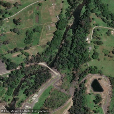
Nerang River
- Boat Ramps
- 7
- Access Points
- 7
- Campsites
- 0
The Nerang River is a perennial river in South East Queensland, flowing through the Gold Coast local government area. It stretches approximately 62 kilometres in length, with a catchment covering 490 square kilometres. The river originates in the McPherson Range at Numinbah Valley and flows to its mouth at the Gold Coast Broadwater near Southport, where it opens into the Coral Sea.
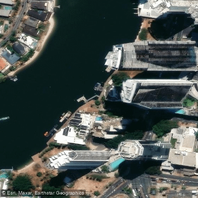
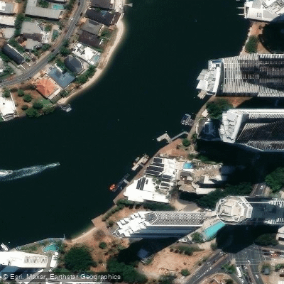
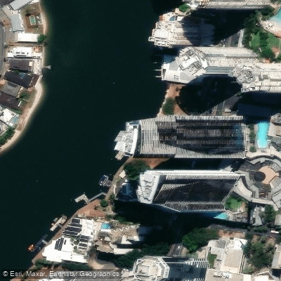
The river offers a wide range of paddling experiences depending on direction and distance. Heading downstream from the Nerang township, paddlers pass through central Gold Coast suburbs before eventually reaching the Broadwater, from which it is possible to continue north past Sea World Resort toward South Stradbroke Island. Paddling upstream from the coast, the urban skyline gradually gives way to quieter stretches with birdlife and natural bushland. The upper navigable limit above Weedons Crossing extends only about 1.2 kilometres before the water becomes too shallow to paddle. The river's lower reaches include multi-branched canal developments, artificial tidal and freshwater lake systems, and several islands worth exploring, including Girung Island and Macintosh Island Park.
Water conditions on the lower and mid reaches are generally calm and suitable for all skill levels. Tidal influence is a factor on the lower river, and paddlers should plan accordingly — launching near high tide when heading upstream from the Weedons Crossing area is advisable given shallow water conditions above that point. The current near the Nerang boat ramp can push a boat sideways during loading, and the banks at that location are rocky with no pontoon.
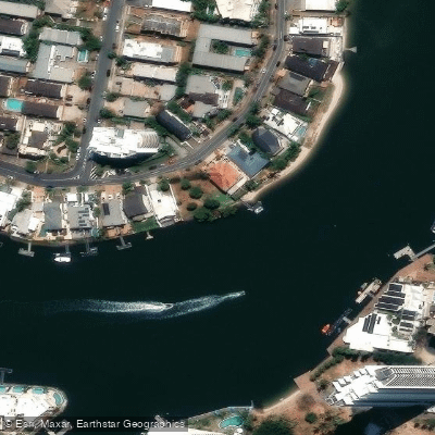
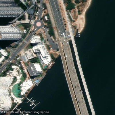
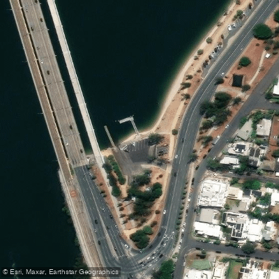
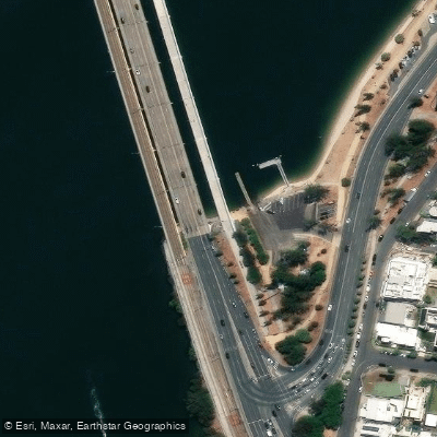
Multiple access points exist along the river. The Nerang Boat Ramp at 26 Nerang Street is a two-lane concrete ramp with parking for 10 trailers and toilet facilities nearby. The Burchill Park ramp off Broadbeach Road on the Pacific Motorway provides another access point with covered picnic areas and barbecue facilities. Budds Beach Reserve, located along the river closer to Surfers Paradise, offers launching access with picnic spots, restrooms, and riverside paths. The best time to visit is generally April to October. Wildlife, birds, and natural bushland are notable features of the upper and mid reaches, while the lower river provides views of the Gold Coast cityscape and waterfront development.
Water access, boat ramps & amenities
Learn how to get on Nerang River. Uncover great paddling access points, boat ramps, and all the facilities you need for an unforgettable day on the water. Some locations shown may border or include private property. Always check property boundaries and applicable regulations before visiting. PaddleWays's Public & Private Land layer can help you plan your access with confidence.
Paddle smarter with real-time insights
Whether you're en route and conditions shift or you're looking for the best spot based on current flows, we enable you to make informed decisions on the fly.







Queensland licenses and regulations

Find Places to Paddle

Over 400,000 Places to Paddle
Every user gets free access to launch points, boat ramps, and public property parcels.


Water and weather conditions (10 day forecast)
See the best times to paddle Nerang River and check the forecast before you go.
Nerang River At Glenhurst
All Flow Stations
Paddling near Nerang River
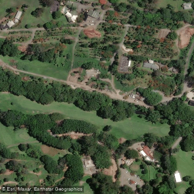
Mudgeeraba Creek
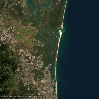
Southern Moreton Bay
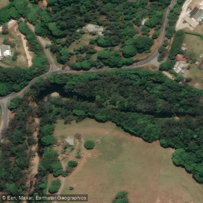
Tallebudgera Creek
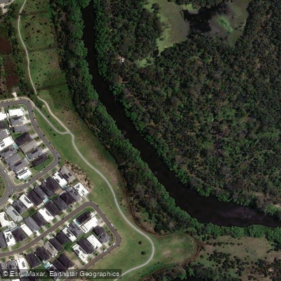
Coombabah Creek

Moreton Bay
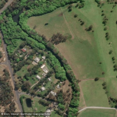
Coomera River
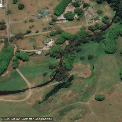
Currumbin Creek
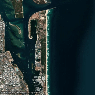
The Spit Beach
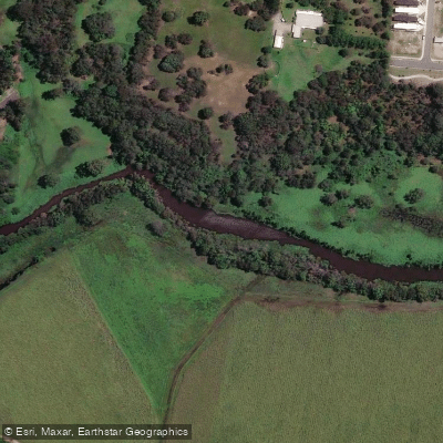
Pimpama River
Explore Queensland waters
Top paddling waters
No waters available right now.
Popular Cities
Loading popular cities...
Explore near Nerang River
Access points
Nearby waters
More in Queensland

Smarter Paddling Starts in the App.
Paddleways gives you everything you need to plan smarter, paddle better, and own every trip from first launch to takeout.