Nelly Bay
- Saltwater
- Beach
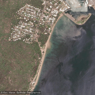
Nelly Bay
- Saltwater
- Beach
- Sq. miles
- 0.2
- Boat Ramps
- 1
- Access Points
- 1
- Campsites
- 1
Nelly Bay is a beach and harbor area on Magnetic Island, accessible from the mainland via a vehicle and passenger ferry from Townsville. The primary launch point for paddlers is the Nelly Bay Harbour, located off The Esplanade, which provides direct access to the Coral Sea. As a beach launch, paddlers should be prepared for a carry from nearby parking areas. The bay is situated within a populated area that contains most of the island's shopping and amenities, offering convenient access to supplies. The overall character is that of a developed coastal hub with easy water access, serving as a gateway to exploring the island's coastline.
From Nelly Bay, paddlers can cruise along the coast, taking in views of the island's forested hills meeting the sea. A coastal walking track, the Gabul Way, connects Nelly Bay to Arcadia, indicating a scenic shoreline route that can also be followed by water. Nearby paddle destinations reachable from this launch include other bays on Magnetic Island such as Picnic Bay and Horseshoe Bay. The area is part of the Great Barrier Reef region, though reef access from the bay varies seasonally.
The bay experiences typical tropical conditions. Paddling is likely most favorable during the drier, cooler months. As a working harbor with a ferry terminal, paddlers must expect vessel traffic and should exercise caution, particularly when entering and exiting the launch area. General maritime rules apply. Facilities for paddlers are basic, centered on the harbor access point, with more comprehensive amenities like shops available in the nearby village. Wildlife sightings are likely, given the proximity to national park areas and seasonal creeks in the vicinity.
Water access, boat ramps & amenities
Learn how to get on Nelly Bay. Uncover great paddling access points, boat ramps, and all the facilities you need for an unforgettable day on the water. Some locations shown may border or include private property. Always check property boundaries and applicable regulations before visiting. PaddleWays's Public & Private Land layer can help you plan your access with confidence.
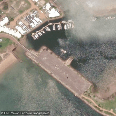
Paddle smarter with real-time insights
Whether you're en route and conditions shift or you're looking for the best spot based on current flows, we enable you to make informed decisions on the fly.







Queensland licenses and regulations

Find Places to Paddle

Over 400,000 Places to Paddle
Every user gets free access to launch points, boat ramps, and public property parcels.


Tides, wind & water conditions (10 day forecast)
On open water, wind and tide matter as much as the weather. See the best times to paddle Nelly Bay and check the marine forecast before you launch.
Loading tide predictions…
Paddling near Nelly Bay
Ross River
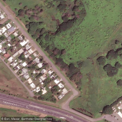
Gordon Creek
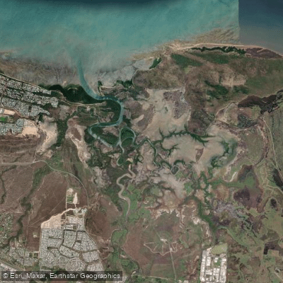
Bohle River
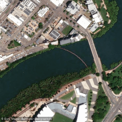
Ross Creek
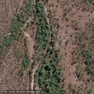
Althaus Creek
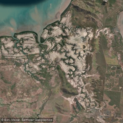
Crocodile Creek
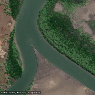
Barramundi Creek
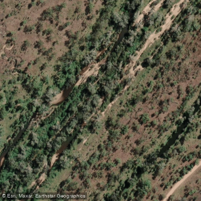
Keelbottom Creek
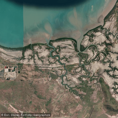
Alligator Creek
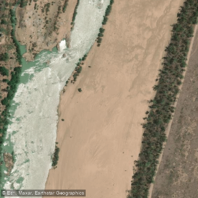
Burdekin River
Explore Queensland waters
Top paddling waters
No waters available right now.
Popular Cities
Loading popular cities...
Explore near Nelly Bay

Smarter Paddling Starts in the App.
Paddleways gives you everything you need to plan smarter, paddle better, and own every trip from first launch to takeout.