West Point
- Saltwater
- Beach
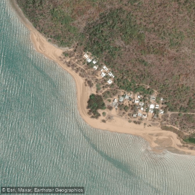
West Point
- Saltwater
- Beach
- Sq. miles
- 0.1
- Boat Ramps
- 0
- Access Points
- 0
- Campsites
- 0
West Point is the northwestern tip of Magnetic Island, located off the coast of Townsville. The beach is a 1.2-kilometer-long, moderately steep sandy shore on the island's low-energy, protected southwestern side, facing Townsville. This orientation generally provides calmer conditions than the island's eastern coast. Access requires travel along an unsealed dirt road from Picnic Bay, which is maintained but can become rough, especially after heavy rain. A formal parking area is available at the beach. The beach width is approximately 30 meters at high tide, but extensive sand flats and patches of coral reef are exposed at low tide, significantly affecting the launch. Paddlers must carry their craft from the parking area across the beach, and careful timing with the tide is essential to avoid a long carry over flats and reef. The overall hazard rating for the beach is very low at 1 out of 10, but there are no lifeguard services. The shoreline is characterized by tidal flats, coral reefs, and mangroves, with little development beyond a few holiday shacks. The area is known for spectacular sunsets. A notable nearby paddle destination is the small islet called Bay Rock, located just off West Point, which is a habitat for seabirds. The water temperature in the region is typically warm, with an example reading of 22°C noted, consistent with tropical North Queensland. Wildlife includes marine life viewable from the water, and the surrounding waters are part of the Great Barrier Reef region. For paddlers seeking a more remote experience away from the island's busier eastern bays, West Point offers a departure point with a raw, natural aesthetic.
Water access, boat ramps & amenities
Learn how to get on West Point. Uncover great paddling access points, boat ramps, and all the facilities you need for an unforgettable day on the water. Some locations shown may border or include private property. Always check property boundaries and applicable regulations before visiting. PaddleWays's Public & Private Land layer can help you plan your access with confidence.
Paddle smarter with real-time insights
Whether you're en route and conditions shift or you're looking for the best spot based on current flows, we enable you to make informed decisions on the fly.







Queensland licenses and regulations

Find Places to Paddle

Over 400,000 Places to Paddle
Every user gets free access to launch points, boat ramps, and public property parcels.


Tides, wind & water conditions (10 day forecast)
On open water, wind and tide matter as much as the weather. See the best times to paddle West Point and check the marine forecast before you launch.
Loading tide predictions…
Paddling near West Point
Ross River
Gordon Creek
Bohle River
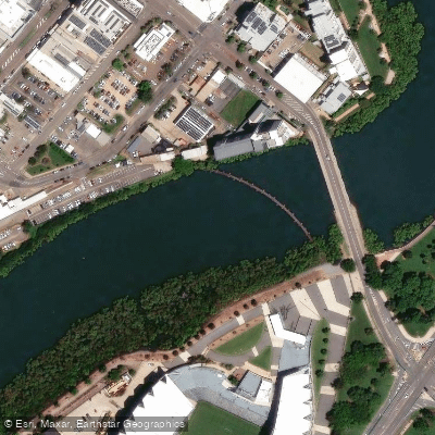
Ross Creek
Althaus Creek
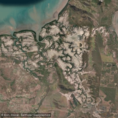
Crocodile Creek
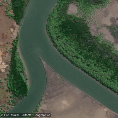
Barramundi Creek
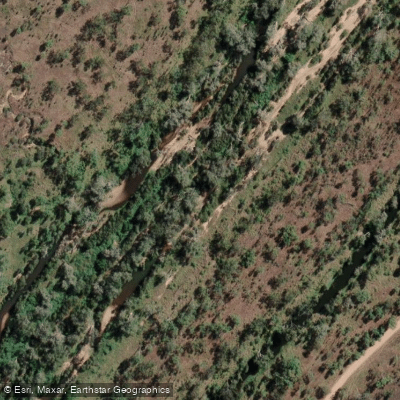
Keelbottom Creek
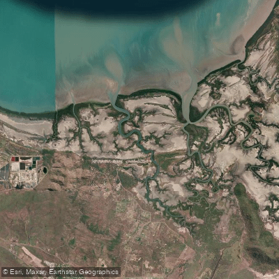
Alligator Creek
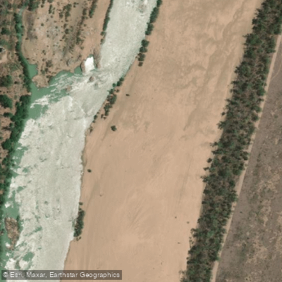
Burdekin River
Explore Queensland waters
Top paddling waters
No waters available right now.
Popular Cities
Loading popular cities...
Explore near West Point

Smarter Paddling Starts in the App.
Paddleways gives you everything you need to plan smarter, paddle better, and own every trip from first launch to takeout.