Denison River
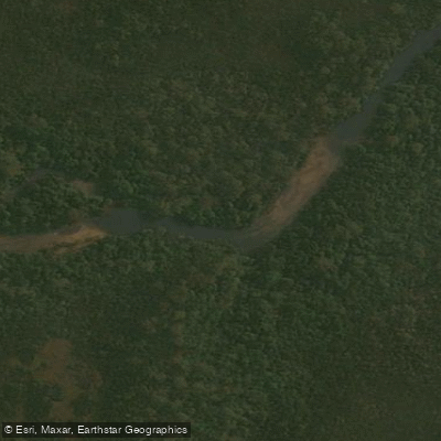
Denison River
- Boat Ramps
- 0
- Access Points
- 0
- Campsites
- 0
The Denison River is an 84-kilometre wilderness river in Tasmania, Australia, flowing through one of the most remote and wild landscapes in the country before joining the Gordon River. The river is not easily accessible and reaching it demands a significant commitment: trips typically begin at Strathgordon, where paddlers drive to the north-west corner of Lake Gordon (Pearce's Basin), paddle approximately 20 kilometres across the lake, then undertake a multi-hour scrub bash of around 3 kilometres over a range to reach the river itself. A rough path marked with pink tape assists with navigation over this portage, though the approach remains demanding.
Once on the river, paddlers can expect a mix of flatwater sections and whitewater, with rapids requiring regular scouting from the bank or via careful eddy-hopping. One notable hazard is a section where the entire river disappears beneath an enormous boulder field, with only a small unrunnable chute remaining — this feature requires a portage and demands careful attention. Scouting rapids is standard practice throughout, and paddlers should be prepared to communicate using river signals and whistle blasts.
The Denison passes through the Truchanas Nature Reserve, which protects one of the largest remaining stands of Huon Pine and is named after photographer and environmentalist Olegas Truchanas, who first explored the river in the late 1960s. The river eventually joins the Gordon River, from which paddlers continue downstream to Sir John Falls and on to Heritage Landing, covering roughly 100 kilometres in total over approximately seven days. Exit options include pickup by West Coast Yacht Charters or Gordon River Cruises, with the latter delivering paddlers to Strahan.
The experience is defined by extreme isolation, silence, and intact wilderness. Wildlife, river sounds, and dramatic scenery characterise the journey. The trip is multi-day by nature and is suited only to experienced paddlers comfortable with remote self-sufficiency, whitewater, and extended off-track travel. Supplies for around six days are typically carried. The overall character of the Denison is that of a serious expedition river in a largely unvisited part of Tasmania's south-west wilderness.
Water access, boat ramps & amenities
Learn how to get on Denison River. Uncover great paddling access points, boat ramps, and all the facilities you need for an unforgettable day on the water. Some locations shown may border or include private property. Always check property boundaries and applicable regulations before visiting. PaddleWays's Public & Private Land layer can help you plan your access with confidence.
Paddle smarter with real-time insights
Whether you're en route and conditions shift or you're looking for the best spot based on current flows, we enable you to make informed decisions on the fly.








Find Places to Paddle

Over 400,000 Places to Paddle
Every user gets free access to launch points, boat ramps, and public property parcels.


Water and weather conditions (10 day forecast)
See the best times to paddle Denison River and check the forecast before you go.
No forecast data available.
Paddling near Denison River
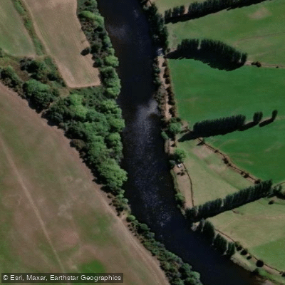
River Derwent
North West Bay River
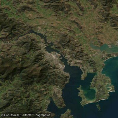
Derwent River
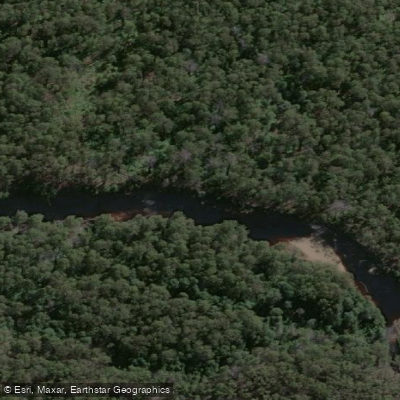
Huon River
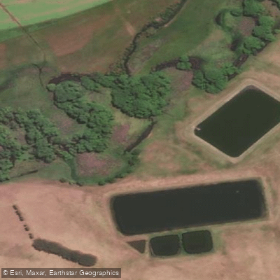
River Clyde
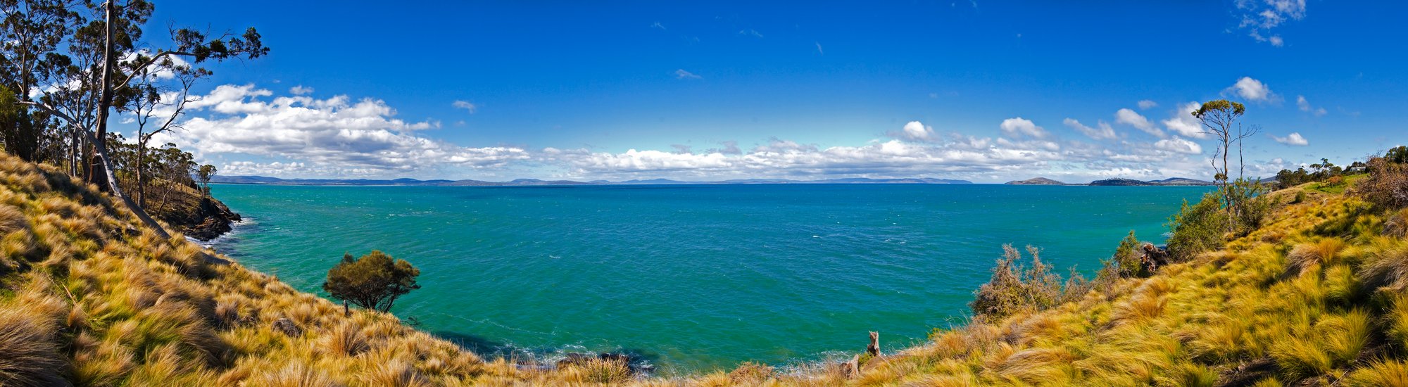
Frederick Henry Bay
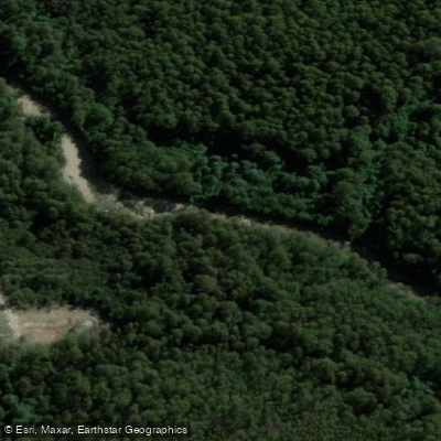
Russell River
Lachlan River
D'Entrecasteaux Channel
Weld River
Explore Tasmania waters
Top paddling waters
No waters available right now.
Popular Cities
Loading popular cities...
Explore near Denison River

Smarter Paddling Starts in the App.
Paddleways gives you everything you need to plan smarter, paddle better, and own every trip from first launch to takeout.