Lake King William
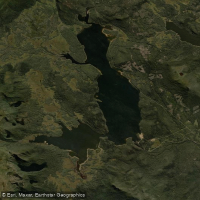
Lake King William
- Boat Ramps
- 4
- Access Points
- 0
- Campsites
- 2
Lake King William is a large hydroelectric reservoir in Tasmania's central highlands, created in 1950 when Hydro Tasmania constructed the 70-metre Clark Dam across the Derwent River. In the late 1960s, the dam wall was raised a further six metres, increasing the lake's storage capacity. The lake is heavily drawn upon for electricity generation and experiences large fluctuations in water level throughout the year, which significantly affects access and paddling conditions.
The primary access point is at the southern end near Clark Dam at Butlers Gorge, where a substantial boat ramp is useable at most water levels. At the northern end, launching areas accessible from the Lyell Highway — approximately 10 kilometres west of Derwent Bridge — are not always useable due to the lake's highly variable water level. A rough 2WD track extends south from the Lyell Highway to the Guelph Basin, while rugged 4WD tracks run from the highway to Navarre Bay and along the eastern banks north from Butlers Gorge. The Guelph Narrows is a notable geographic feature dividing sections of the lake.
There is a prohibited navigation zone on Lake King William: the waters bounded by Clark Dam, a sign on the western bank approximately 300 metres upstream of the dam, and a sign on the eastern bank approximately 100 metres upstream of the dam. Paddlers should be aware of this restriction when planning routes near the dam.
The lake is characterised by drowned trees and scrub throughout, particularly around shallow basins, giving it a distinctive and somewhat eerie atmosphere. Wind conditions can be variable; easterly winds funnel along the lake's length and can significantly influence paddling conditions. A circumnavigation of the lake is possible and has been completed by packrafters, incorporating the Guelph Narrows crossing as a key waypoint.
Informal lakeshore camping is permitted, with the most attractive sites located at the Guelph Basin. Additional sites exist at Navarre Bay and near the boat ramp at the southern end. Note that as of mid-2024, Butlers Gorge Road has been subject to weekday closures from 7am to 5pm due to Hydro Tasmania upgrade works, and the Lake King William campground has been closed. Paddlers should check current access conditions with Hydro Tasmania before planning a visit, as these restrictions may remain in place for an extended period.
Water access, boat ramps & amenities
Learn how to get on Lake King William. Uncover great paddling access points, boat ramps, and all the facilities you need for an unforgettable day on the water. Some locations shown may border or include private property. Always check property boundaries and applicable regulations before visiting. PaddleWays's Public & Private Land layer can help you plan your access with confidence.
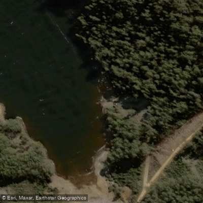
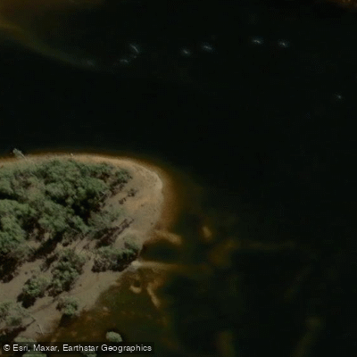
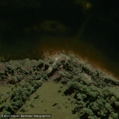
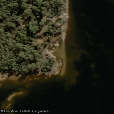
Paddle smarter with real-time insights
Whether you're en route and conditions shift or you're looking for the best spot based on current flows, we enable you to make informed decisions on the fly.








Find Places to Paddle

Over 400,000 Places to Paddle
Every user gets free access to launch points, boat ramps, and public property parcels.


Water and weather conditions (10 day forecast)
See the best times to paddle Lake King William and check the forecast before you go.
King William Lake - At Dam
All Flow Stations
Paddling near Lake King William
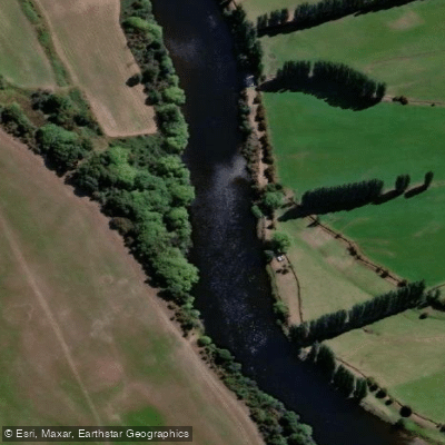
River Derwent
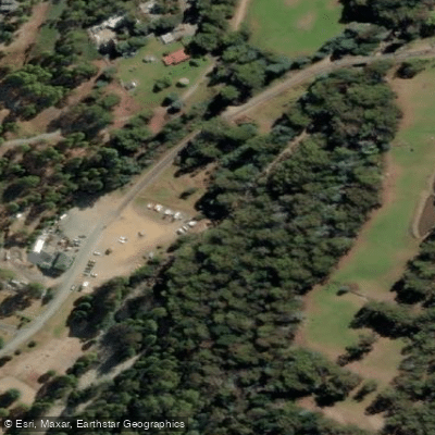
North West Bay River
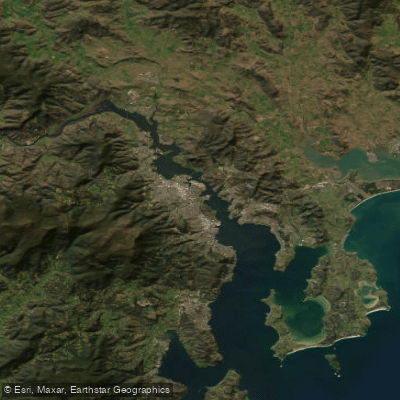
Derwent River
Huon River
River Clyde
Frederick Henry Bay
Russell River
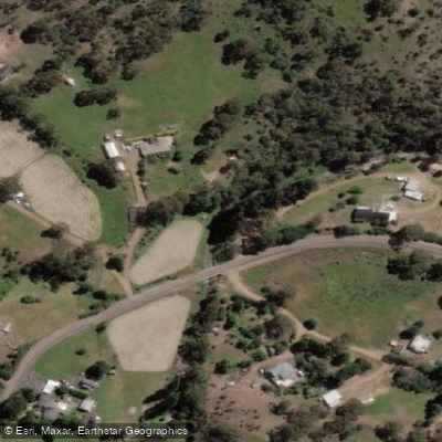
Lachlan River
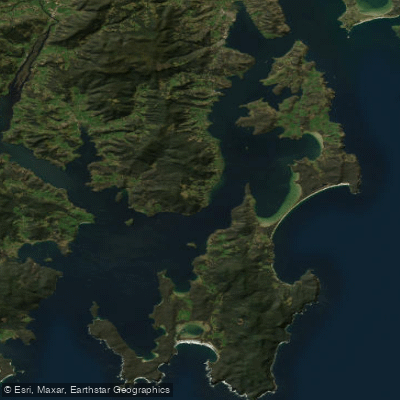
D'Entrecasteaux Channel
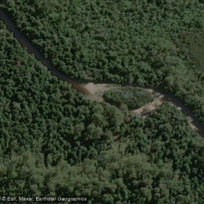
Weld River
Explore Tasmania waters
Top paddling waters
No waters available right now.
Popular Cities
Loading popular cities...
Explore near Lake King William

Smarter Paddling Starts in the App.
Paddleways gives you everything you need to plan smarter, paddle better, and own every trip from first launch to takeout.