River Tamar
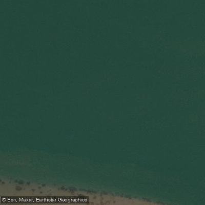
River Tamar
- Boat Ramps
- 4
- Access Points
- 1
- Campsites
- 0
The Tamar River is a tidal estuary in northern Tasmania, flowing through Launceston and extending downstream past Beauty Point toward Bass Strait. The river's character is strongly shaped by tidal cycles, and paddling here requires careful planning around the tides. At low water, extensive mudflats are exposed throughout the estuary, making navigation difficult or impossible in places and creating a genuine risk of becoming stranded in soft mud if caught by a falling tide. Paddlers are advised to launch around an hour before high tide and plan to be off the water within a couple of hours, as water levels can drop 40–50 centimetres in a relatively short period once the tide turns.
Several launch points exist along the river. A boat ramp near the tail race area provides access in the lower reaches, and a ramp at Beauty Point — described as a well-maintained facility — offers access further downstream. From Beauty Point, destinations such as Dark Hollow (approximately 5 kilometres away) and Bell Bay, a major shipping port, are within reach.
The upper estuary, accessible from Launceston's waterfront, offers paddling through an urban and semi-rural landscape, passing historic buildings, bridges, and the hills surrounding Launceston. Commercial guided kayak tours operate on this section, using pedal-powered kayaks, which confirms the waterway is navigable for recreational paddlers. The river supports notable wildlife, including native water rats (known locally as rakali), ducks, and swans.
The estuary has a reputation for mudflats and associated water quality concerns, which have been the subject of ongoing environmental discussion. Paddlers should be aware that the river is also used by commercial shipping in the lower reaches near Bell Bay, and sailing vessels operate throughout the estuary, so sharing the waterway with larger craft is a practical consideration. Early morning paddles on calm days offer reflective water conditions along the upper estuary.
Water access, boat ramps & amenities
Learn how to get on River Tamar. Uncover great paddling access points, boat ramps, and all the facilities you need for an unforgettable day on the water. Some locations shown may border or include private property. Always check property boundaries and applicable regulations before visiting. PaddleWays's Public & Private Land layer can help you plan your access with confidence.
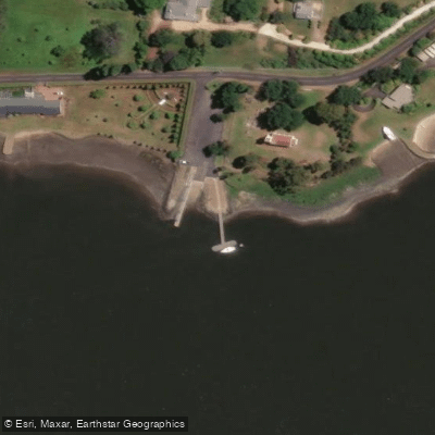
Paddle smarter with real-time insights
Whether you're en route and conditions shift or you're looking for the best spot based on current flows, we enable you to make informed decisions on the fly.








Find Places to Paddle

Over 400,000 Places to Paddle
Every user gets free access to launch points, boat ramps, and public property parcels.


Water and weather conditions (10 day forecast)
See the best times to paddle River Tamar and check the forecast before you go.
No forecast data available.
Paddling near River Tamar
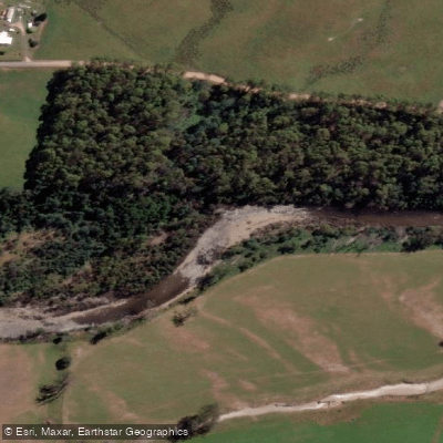
Mersey River
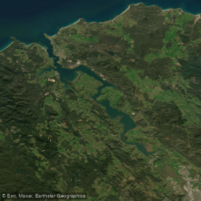
Tamar River
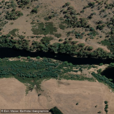
South Esk River
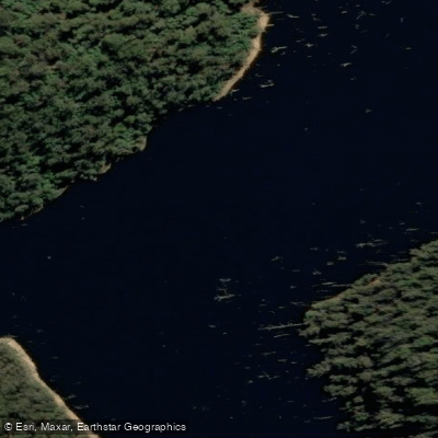
River Forth
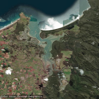
Port Sorell
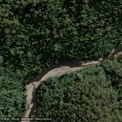
Wilmot River
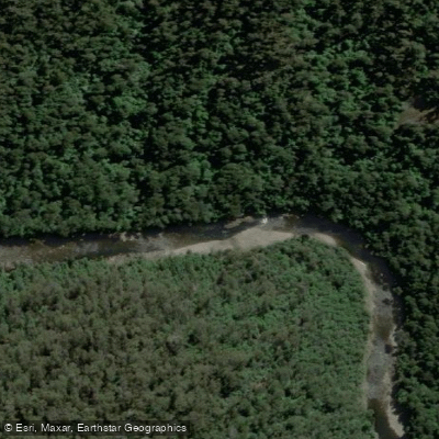
River Leven
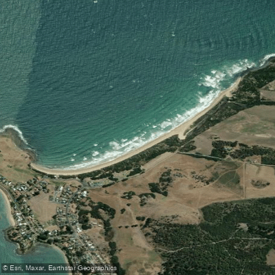
East Beach
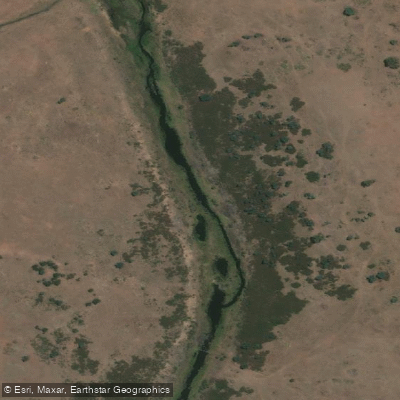
Macquarie River
Explore Tasmania waters
Top paddling waters
No waters available right now.
Popular Cities
Loading popular cities...
Explore near River Tamar

Smarter Paddling Starts in the App.
Paddleways gives you everything you need to plan smarter, paddle better, and own every trip from first launch to takeout.