Port Sorell
- Saltwater
- Estuary
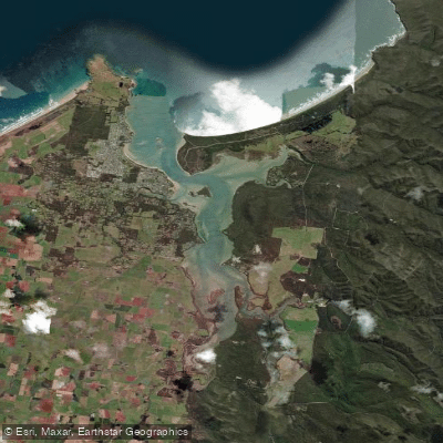
Port Sorell
- Saltwater
- Estuary
- Sq. miles
- 9.3
- Boat Ramps
- 3
- Access Points
- 0
- Campsites
- 4
Port Sorell is a tidal estuary on Tasmania's north coast, forming a sheltered inlet from Bass Strait. The water body connects to the Mersey River via the Latrobe inlet, creating a network of calm-water paddling environments. The primary character is one of sheltered, tranquil water suited for kayaks, canoes, and stand-up paddleboards. The area is known for its coastal scenery, with sandy shores and rural landscapes framing the water. Key launch points include Bells Parade in Latrobe, which features a historic wharf area and barbecue facilities, and various reserves in Port Sorell such as Panatana Reserve, Addisons Reserve, and Hawley Foreshore. Paddlers can explore from Bells Parade to adjacent Pig Island, a noted location for viewing platypus and other water-based wildlife. The estuary's tidal nature is confirmed by a nearby campsite description referencing the "Franklin Rivulet- a picturesque tidal estuary," indicating that tidal flows influence the connected waterways. Paddlers must account for these tides, particularly when planning routes that involve river inlets. The area is generally protected, but wind exposure can vary across the more open sections near the coast. Boat traffic is likely near launches and channels. The region offers relaxed coastal days and gentle walks along sandy shores, contributing to a family-friendly vibe. Facilities for paddlers include the public parks with picnic areas and the proximity to the Banksia Centre, a community venue in Port Sorell. The best seasons for paddling are the warmer months, which also see increased use of picnic and wedding venues at Bells Parade.
Water access, boat ramps & amenities
Learn how to get on Port Sorell. Uncover great paddling access points, boat ramps, and all the facilities you need for an unforgettable day on the water. Some locations shown may border or include private property. Always check property boundaries and applicable regulations before visiting. PaddleWays's Public & Private Land layer can help you plan your access with confidence.
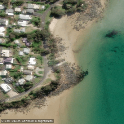
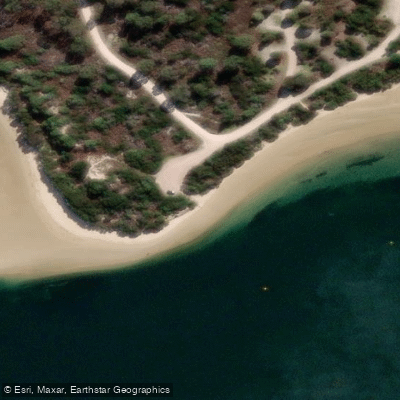
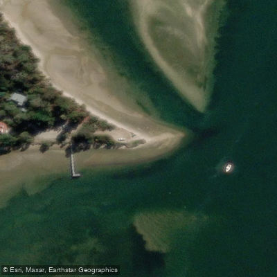
Paddle smarter with real-time insights
Whether you're en route and conditions shift or you're looking for the best spot based on current flows, we enable you to make informed decisions on the fly.








Find Places to Paddle

Over 400,000 Places to Paddle
Every user gets free access to launch points, boat ramps, and public property parcels.


Tides, wind & water conditions (10 day forecast)
On open water, wind and tide matter as much as the weather. See the best times to paddle Port Sorell and check the marine forecast before you launch.
Loading tide predictions…
Paddling near Port Sorell
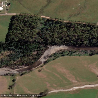
Mersey River
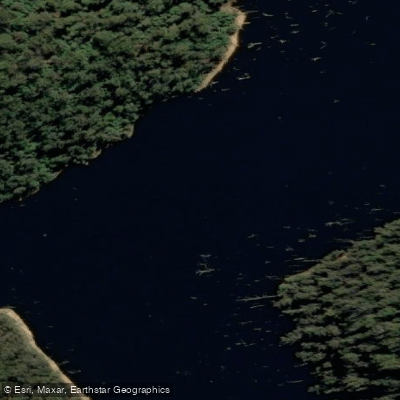
River Forth
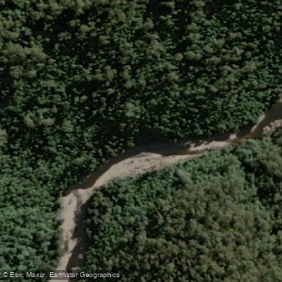
Wilmot River
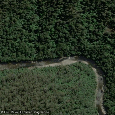
River Leven
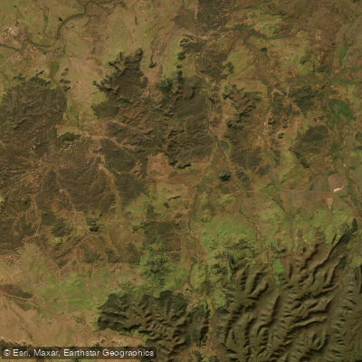
Don River
River Tamar
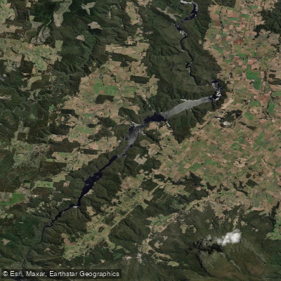
Lake Barrington
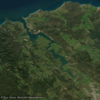
Tamar River
Forth Falls Creek
Explore Tasmania waters
Top paddling waters
No waters available right now.
Popular Cities
Loading popular cities...
Explore near Port Sorell
Access points
Nearby waters
More in Tasmania

Smarter Paddling Starts in the App.
Paddleways gives you everything you need to plan smarter, paddle better, and own every trip from first launch to takeout.