Tamar River
- Saltwater
- Estuary
Tamar River
- Saltwater
- Estuary
- Sq. miles
- 41
- Boat Ramps
- 15
- Access Points
- 0
- Campsites
- 2
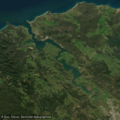
The Tamar River, or Kanamaluka, is a 70-kilometer long tidal estuary connecting the city of Launceston to Bass Strait. It is a saline, tidal body of water, not a flowing river, with its water level and currents dictated by the ocean tide. The estuary begins at the confluence of the North Esk and South Esk Rivers in central Launceston. For paddlers, the character of the water changes significantly along its length, from the sheltered urban waterfront of Launceston to the exposed mouth at Low Head. The upper reaches around Launceston offer calm, scenic touring, with commercial kayak tours operating from the city waterfront using Hobie pedal-powered kayaks to explore the confluence of the three rivers and the cliff grounds of the South Esk. Key access points in this area include the Launceston waterfront and facilities associated with tour operators. Further north, the Tamar Island Wetlands Centre, a 10-minute drive from Launceston, provides a boardwalk and access to a conservation area rich with birdlife like pelicans, swans, and cormorants. The estuary widens as it flows north, passing vineyards and rural landscapes. The only bridge crossing is the Batman Bridge near Sidmouth. The lower estuary near George Town and Low Head features calmer coves like York Cove, Town Beach, and East Beach, which are suitable for stand-up paddleboarding in summer, but the area around Low Head itself is exposed to wind and ocean swell. A notable hazard exists at the river mouth at Low Head, where ocean waves can break directly across the entrance, creating a surf zone and challenging conditions even close to shore. This area is also subject to strong winds, particularly in the afternoon, which can whip up the water in Bass Strait. Significant commercial and recreational boat traffic uses the channel, especially near the port of Bell Bay, so paddlers must remain aware. The best conditions for paddling are typically during the calmer summer months, with morning hours often providing lighter winds. Paddlers must plan trips around the tidal cycle, considering that paddling against a strong tidal current, especially in the narrower sections, can be difficult.
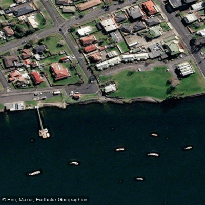
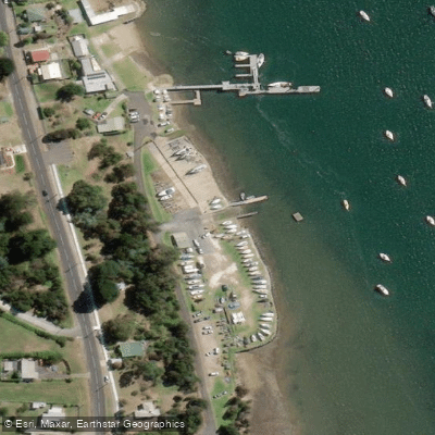
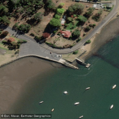
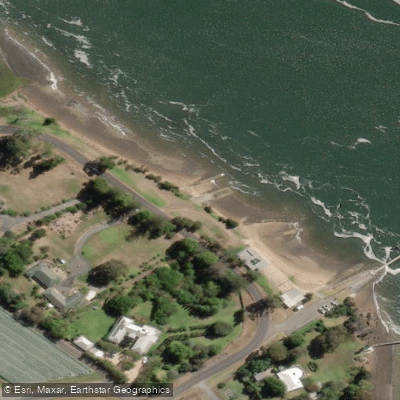
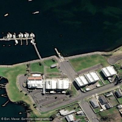
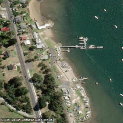
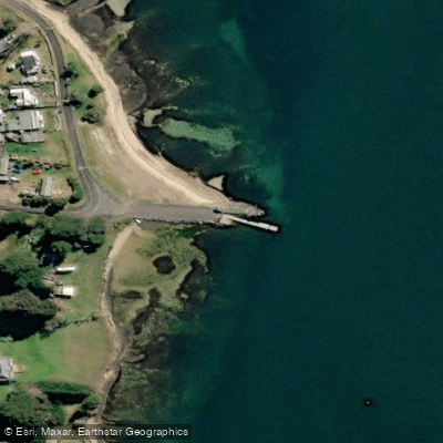
Water access, boat ramps & amenities
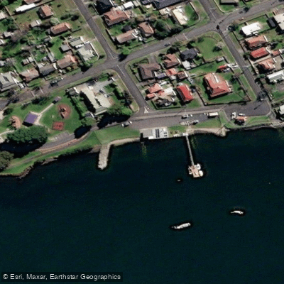
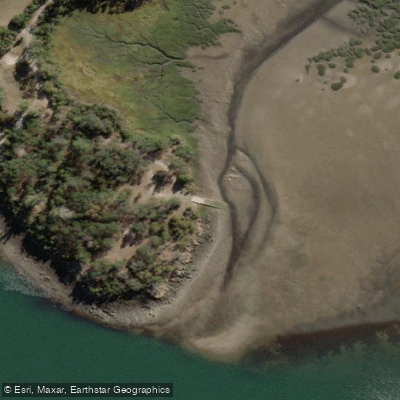
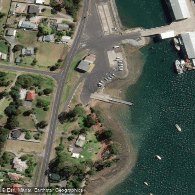
Learn how to get on Tamar River. Uncover great paddling access points, boat ramps, and all the facilities you need for an unforgettable day on the water. Some locations shown may border or include private property. Always check property boundaries and applicable regulations before visiting. PaddleWays's Public & Private Land layer can help you plan your access with confidence.
Paddle smarter with real-time insights
Whether you're en route and conditions shift or you're looking for the best spot based on current flows, we enable you to make informed decisions on the fly.








Find Places to Paddle

Over 400,000 Places to Paddle
Every user gets free access to launch points, boat ramps, and public property parcels.


Tides, wind & water conditions (10 day forecast)
On open water, wind and tide matter as much as the weather. See the best times to paddle Tamar River and check the marine forecast before you launch.
Loading tide predictions…
Paddling near Tamar River
River Tamar
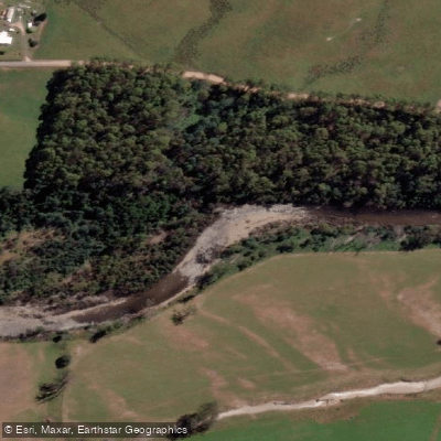
Mersey River
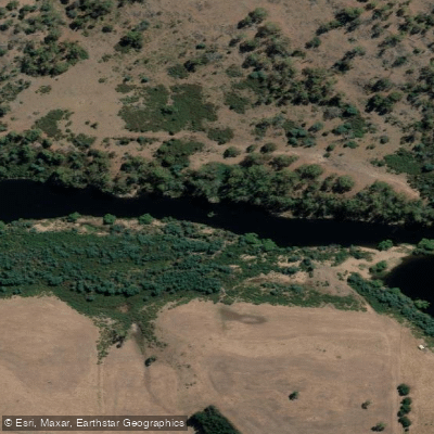
South Esk River
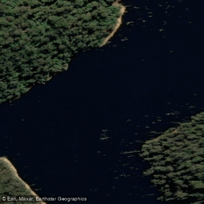
River Forth
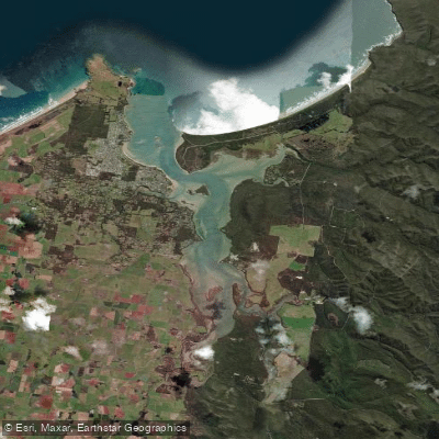
Port Sorell
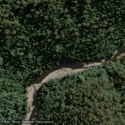
Wilmot River
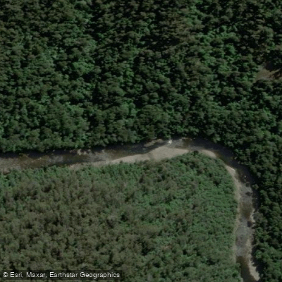
River Leven
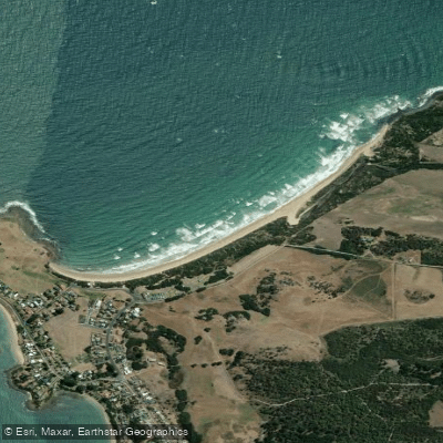
East Beach
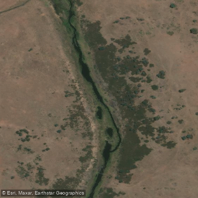
Macquarie River
Explore Tasmania waters
Top paddling waters
No waters available right now.
Popular Cities
Loading popular cities...
Explore near Tamar River

Smarter Paddling Starts in the App.
Paddleways gives you everything you need to plan smarter, paddle better, and own every trip from first launch to takeout.