South Esk River
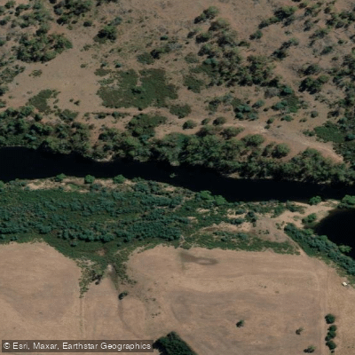
South Esk River
- Boat Ramps
- 3
- Access Points
- 0
- Campsites
- 3
The South Esk River is the longest river in Tasmania, stretching approximately 252 kilometres from its source near the Ben Lomond plateau on the Mathinna Plains at an elevation of 810 metres down to Launceston, where it meets the North Esk River at Trevallyn to form the kanamaluka/Tamar River. The river's course arcs around the southern side of Ben Lomond, passing through Fingal, Avoca, and Evandale before winding northwest through Perth, Longford, and Hadspen, ultimately flowing through the narrows of the Cataract Gorge into Launceston.
The character of the river varies considerably along its length. The uppermost sections near Upper Esk are prone to significant log jams that require frequent portaging, making paddling there time-consuming and frustrating even at moderate water levels. At 0.87 metres on the gauge at the Upper Esk Bridge, the upper section offers mostly grade 1 or flat water with a series of easy grade 2 rapids in the final kilometre or two before the fisherman's access exit on Upper Esk Road just east of Gunns Road. The Inland Fisheries Service notes that some sections of the river may be navigated in canoes, drift boats, and inflatables, but recommends experienced paddlers only and advises observing all MAST safety requirements.
Canoe and kayak launch points in the middle and lower reaches include Clarendon (paddling upstream), the Perth Riverbank Reserve at Berryman Reserve off Old Bridge Road, the Union Street boat ramp at Longford, and Hadspen (paddling upstream). The Berryman Reserve car park closes at 6:00 pm, so paddlers should plan accordingly or park outside the entrance on Old Bridge Road. Near Perth, the river becomes shallow with rapids and riffles around the first bend upstream adjacent to Mill Road, with pools beyond that section. The lower reaches near Launceston pass through the dramatic cliff scenery of Cataract Gorge before reaching the confluence with the North Esk.
Hazards noted across the river include deep water, strong currents, slippery surfaces, steep banks, falling trees and limbs, and electric fences along some stretches. A 5-knot speed limit applies within 60 metres of any shoreline, marine facility, or buoy. River flow data for the Perth and Longford sections is available from the Bureau of Meteorology. Paddling notes are also available through Paddle Tasmania at paddletasmania.canoe.org.au.
Water access, boat ramps & amenities
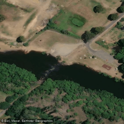
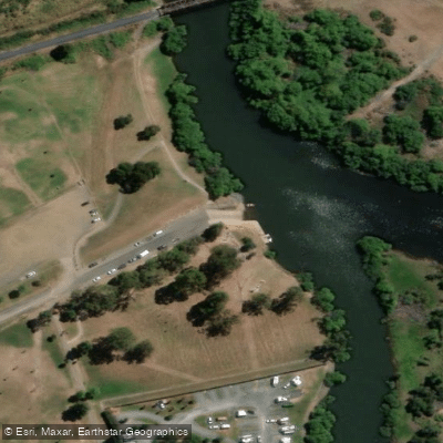
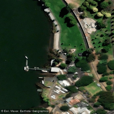
Learn how to get on South Esk River. Uncover great paddling access points, boat ramps, and all the facilities you need for an unforgettable day on the water. Some locations shown may border or include private property. Always check property boundaries and applicable regulations before visiting. PaddleWays's Public & Private Land layer can help you plan your access with confidence.
Paddle smarter with real-time insights
Whether you're en route and conditions shift or you're looking for the best spot based on current flows, we enable you to make informed decisions on the fly.








Find Places to Paddle

Over 400,000 Places to Paddle
Every user gets free access to launch points, boat ramps, and public property parcels.


Water and weather conditions (10 day forecast)
See the best times to paddle South Esk River and check the forecast before you go.
South Esk - At Llewellyn
All Flow Stations
Paddling near South Esk River
River Tamar
Tamar River
Macquarie River
North Esk River
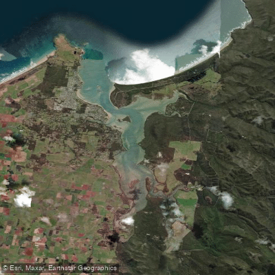
Port Sorell
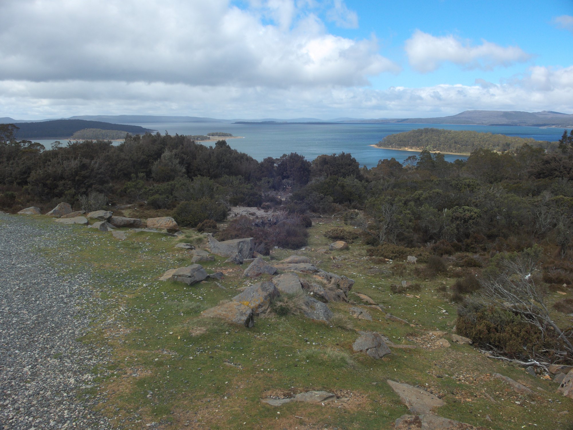
Great Lake
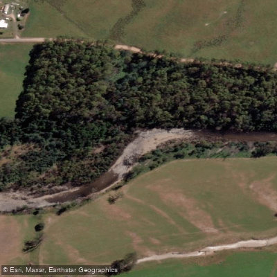
Mersey River
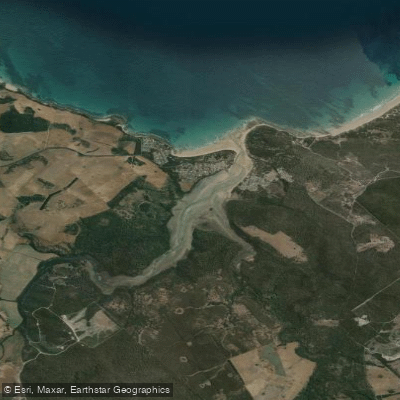
Pipers River
St Patricks River
Explore Tasmania waters
Top paddling waters
No waters available right now.
Popular Cities
Loading popular cities...
Explore near South Esk River

Smarter Paddling Starts in the App.
Paddleways gives you everything you need to plan smarter, paddle better, and own every trip from first launch to takeout.