Bemm River
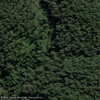
Bemm River
- Boat Ramps
- 0
- Access Points
- 0
- Campsites
- 0
The Bemm River is located approximately 450 kilometres east of Melbourne in East Gippsland, Victoria, along the Princes Highway in the direction of Lakes Entrance and Marlo. The river connects to Sydenham Inlet, and access to this inlet is a central feature of the area for water-based recreation. The surrounding landscape is characterised by extensive, largely undisturbed forest, and the region has developed a reputation not only for fishing but also for its natural environment and the opportunities it offers to explore by various means on the water.
Boating and paddling infrastructure is centred along the foreshore, where two boat ramps serve as launch points — one at Luderick Point and another at Fingerling Jetty. Parking and trailer facilities are available at these sites, though they can experience pressure during peak periods. The foreshore management plan has identified improving the efficiency and safety of these launch facilities as an ongoing priority.
The river and Sydenham Inlet are well regarded for estuarine fishing, particularly for black bream and estuary perch, and the area regularly hosts kayak fishing tournaments including the Hobie Bemm River Kayak Bream Tournament. Paddlers visiting during tournament weekends should expect increased boat traffic on the water. The combination of river and inlet environments offers varied paddling terrain within a relatively compact area, set against a backdrop of coastal forest.
Water access, boat ramps & amenities
Learn how to get on Bemm River. Uncover great paddling access points, boat ramps, and all the facilities you need for an unforgettable day on the water. Some locations shown may border or include private property. Always check property boundaries and applicable regulations before visiting. PaddleWays's Public & Private Land layer can help you plan your access with confidence.
Paddle smarter with real-time insights
Whether you're en route and conditions shift or you're looking for the best spot based on current flows, we enable you to make informed decisions on the fly.








Find Places to Paddle

Over 400,000 Places to Paddle
Every user gets free access to launch points, boat ramps, and public property parcels.


Water and weather conditions (10 day forecast)
See the best times to paddle Bemm River and check the forecast before you go.
Bemm River @ Princes Highway
All Flow Stations
Paddling near Bemm River
Murray River
Kiewa River
Lake Hume
Mitta Mitta River
Billabong Creek
Ovens River
Buffalo Creek
Murray River
Back Creek
Murray River
Explore Victoria waters
Top paddling waters
No waters available right now.
Popular Cities
Loading popular cities...
Explore near Bemm River

Smarter Paddling Starts in the App.
Paddleways gives you everything you need to plan smarter, paddle better, and own every trip from first launch to takeout.