Moorabool River
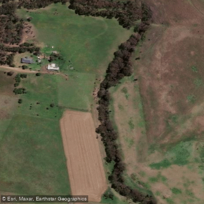
Moorabool River
- Boat Ramps
- 0
- Access Points
- 0
- Campsites
- 0
The Moorabool River drains a catchment of approximately 2,000 km² from the Great Dividing Range near Ballarat southward to its confluence with the Barwon River southwest of Geelong. The river's east and west branches rise in the Wombat State Forest and join near Meredith, after which the river continues through the lower catchment past Batesford and Fyansford before reaching the Barwon.
Paddling the lower Moorabool is a mixed experience. From Batesford Bridge, there is a roughly 3 km section that is relatively straightforward, followed by more demanding terrain as the river approaches the Fyansford area. Reed-choked passages are a recurring feature and frequently require paddlers to haul or drag craft rather than paddle through. Steep banks add to the physical demands in certain stretches. A fallen tree blocking the full width of the river has been reported near the confluence with the Barwon, which can halt progress entirely depending on conditions.
One access point near the Barwon confluence is the Park West boat ramp on Fyans Street in Geelong. Along the lower river, paddlers pass under the Lewis Bandt Bridge on the Geelong Ring Road and can observe the remains of the old trestle bridge that formed part of the Fyansford Cement Works railway, which operated between 1924 and 1966 to carry limestone from Batesford Quarry. The remnants of the conveyor belt infrastructure are also visible along this stretch.
The river supports platypus, cockatoos, and a range of native fish species including tupong, short-finned eel, common galaxias, and Australian grayling. The Moorabool is considered one of the most heavily water-committed rivers in Victoria, with significant extraction for both Ballarat and Geelong water supplies, which affects flow levels and overall river health. Paddlers should anticipate variable water levels and plan accordingly.
Water access, boat ramps & amenities
Learn how to get on Moorabool River. Uncover great paddling access points, boat ramps, and all the facilities you need for an unforgettable day on the water. Some locations shown may border or include private property. Always check property boundaries and applicable regulations before visiting. PaddleWays's Public & Private Land layer can help you plan your access with confidence.
Paddle smarter with real-time insights
Whether you're en route and conditions shift or you're looking for the best spot based on current flows, we enable you to make informed decisions on the fly.








Find Places to Paddle

Over 400,000 Places to Paddle
Every user gets free access to launch points, boat ramps, and public property parcels.


Water and weather conditions (10 day forecast)
See the best times to paddle Moorabool River and check the forecast before you go.
Moorabool River @ Batesford
All Flow Stations
Paddling near Moorabool River
Barwon River

Port Phillip Bay
Leigh River

Werribee River

Port Phillip
Lake Connewarre
Yarra River
Thompson Creek
Woady Yaloak River
Explore Victoria waters
Top paddling waters
No waters available right now.
Popular Cities
Loading popular cities...
Explore near Moorabool River

Smarter Paddling Starts in the App.
Paddleways gives you everything you need to plan smarter, paddle better, and own every trip from first launch to takeout.