Port Phillip
- Saltwater
- Bay

Port Phillip
- Saltwater
- Bay
- Sq. miles
- 730
- Boat Ramps
- 11
- Access Points
- 11
- Campsites
- 5
Port Phillip is a large, open saltwater bay located in Victoria, Australia, adjacent to the city of Melbourne. It is a significant and popular sea kayaking destination, offering routes that showcase magnificent coastlines. The bay's character is defined by its exposure to wind and weather, making conditions a primary consideration for paddlers. The wind is a key factor, and it is generally advised to avoid paddling in winds over 15 knots until basic sea kayaking skills are achieved. Understanding fetch and lee is crucial for route planning. Sandringham Harbour is a particularly good launch site because it provides a safe, sheltered location to launch and land in lee from all directions. Public kayak launch facilities are located at Anderson Reserve and Clark Reserve. A major hazard for paddlers is The Rip, the narrow entrance from the bay to Bass Strait, which should not be crossed by kayakers. The bay is home to sanctuary zones, such as Ticonderoga Bay, where paddling is permitted. Wildlife sightings can include dolphins. For experienced paddlers, ambitious multi-hour journeys are possible, such as the "Across the Bay in a Day" route, which covers distances from 35.5km to 45km and is designed for intermediate and advanced sea kayakers with skills in self and assisted rescues. This tour concludes at Portarlington. Paddlers should monitor the Port Phillip Local Waters Forecast, MetEye, and Bay Winds X for wind and weather predictions, and Willy Weather for tidal information. Tides are a factor, as indicated by the reference to tide height graphics for Sandringham. Summer is a time for warmer waters. Essential gear for serious sea kayaking includes a sea kayak over 480cm with specific safety features, a spray skirt, PFD, tow line, bilge pump, and communication devices.
Water access, boat ramps & amenities
Learn how to get on Port Phillip. Uncover great paddling access points, boat ramps, and all the facilities you need for an unforgettable day on the water. Some locations shown may border or include private property. Always check property boundaries and applicable regulations before visiting. PaddleWays's Public & Private Land layer can help you plan your access with confidence.
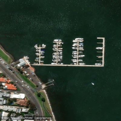
Anchorage Marina
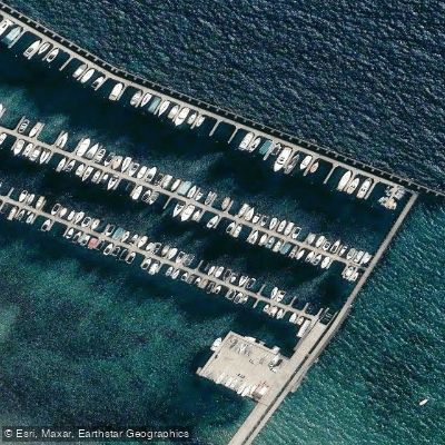
Blairgowrie Marina
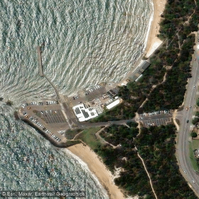
Half Moon Bay Sailing Club
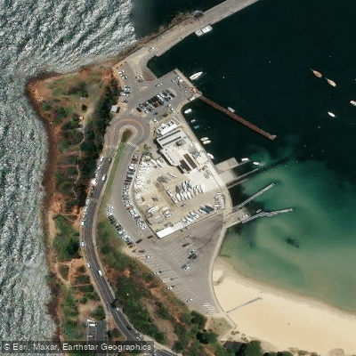
Mornington Yacht Club
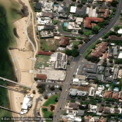
Royal Brighton Yacht Club
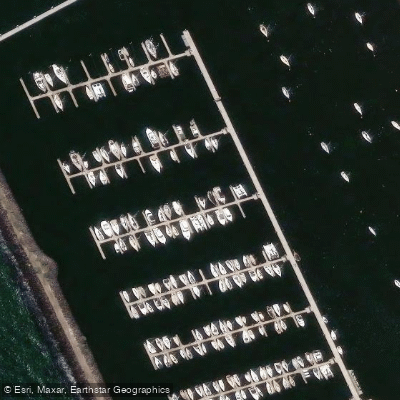
Royal Melbourne Yacht Squadron
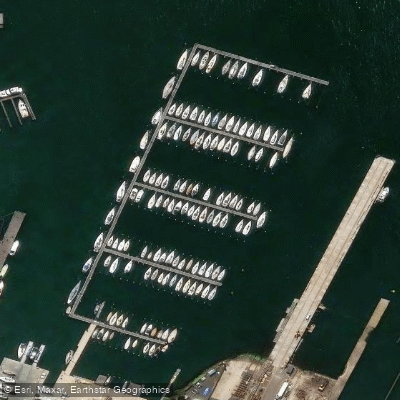
Royal Yacht Club Of Victoria
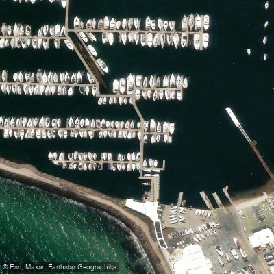
Sandringham Yacht Club
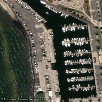
St Kilda Marina
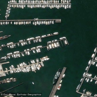
Williamstown Marina
Paddle smarter with real-time insights
Whether you're en route and conditions shift or you're looking for the best spot based on current flows, we enable you to make informed decisions on the fly.








Find Places to Paddle

Over 400,000 Places to Paddle
Every user gets free access to launch points, boat ramps, and public property parcels.


Tides, wind & water conditions (10 day forecast)
On open water, wind and tide matter as much as the weather. See the best times to paddle Port Phillip and check the marine forecast before you launch.
Loading tide predictions…
Paddling near Port Phillip
Yarra River
Maribyrnong River

Port Phillip Bay

Werribee River
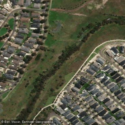
Kororoit Creek
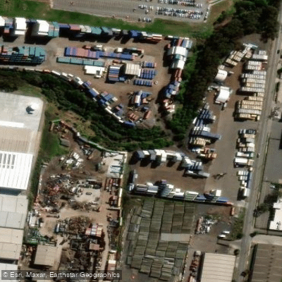
Stony Creek
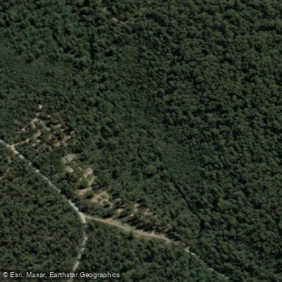
Murrindindi River
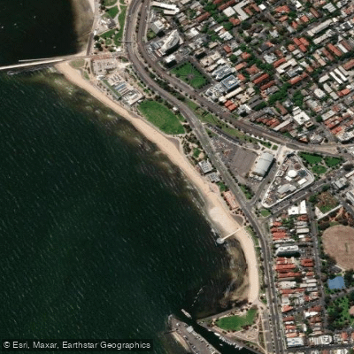
St Kilda Beach

Campaspe River
Explore Victoria waters
Top paddling waters
No waters available right now.
Popular Cities
Loading popular cities...
Explore near Port Phillip
Access points
- Fairfax Street Boat Ramp
- Point Richards Boatramp
- Point Richards Boatramp
- Port Phillip Bay - Anthonys Nose Ramp
- Port Phillip Bay - Black Rock Ramp
- Port Phillip Bay - Capel Sound Ramp
- Port Phillip Bay - Mornington Schnapper Point Ramp
- Port Phillip Bay - Rye Ramp
- Port Phillip Bay - St Kilda Marina Ramp
- Queenscliff Boat Ramp
- Tyrone Boat Ramp
- Anchorage Marina
- All 27 spots
Nearby waters
More in Victoria

Smarter Paddling Starts in the App.
Paddleways gives you everything you need to plan smarter, paddle better, and own every trip from first launch to takeout.