Woady Yaloak River
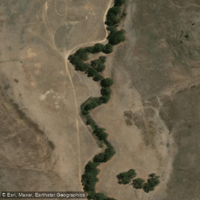
Woady Yaloak River
- Boat Ramps
- 0
- Access Points
- 0
- Campsites
- 4
The Woady Yaloak River is a perennial river located in the Western District Lakes region of Victoria, Australia, within the broader Corangamite catchment. Its Aboriginal Wathawurrung name, Wurdi-yaluk, translates to "big creek," reflecting its character as a substantial waterway by local standards.
The river rises below Black Hill, west of Ballarat, at an elevation of approximately 291 metres, and flows generally southward over a meandering course of 104 kilometres, descending 280 metres in total before reaching its mouth at Lake Martin, which in turn connects to Lake Corangamite. Along its course, the river passes through the towns of Smythesdale, Scarsdale, and Cressy, and is joined by three minor tributaries.
The river's meandering nature over a relatively modest gradient suggests a generally low-gradient character through much of its lower reaches, though the upper sections near Ballarat involve more elevation change. The passage through several small towns along its length may offer potential access points for paddlers, though specific put-in and take-out locations, hazard details, and facilities are not well documented. Similarly, details on seasonal water levels, water quality, and any paddling-specific regulations are not readily established.
The river's position within the Corangamite catchment and its terminus at Lake Martin and Lake Corangamite places it within a region of ecological and hydrological significance in Victoria's Western District.
Water access, boat ramps & amenities
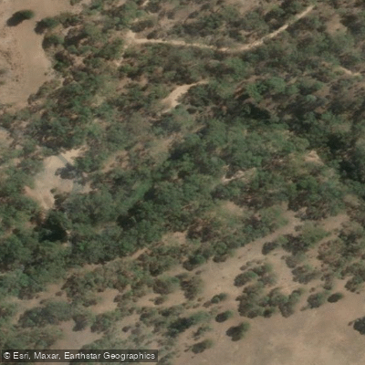
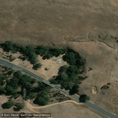
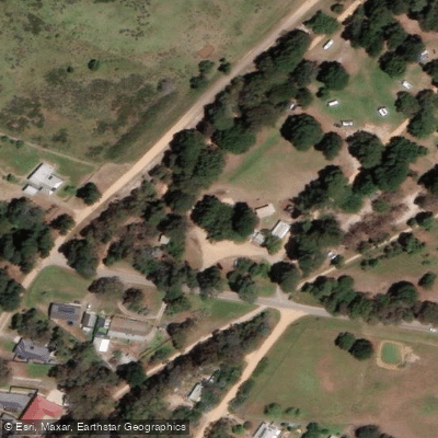
Learn how to get on Woady Yaloak River. Uncover great paddling access points, boat ramps, and all the facilities you need for an unforgettable day on the water. Some locations shown may border or include private property. Always check property boundaries and applicable regulations before visiting. PaddleWays's Public & Private Land layer can help you plan your access with confidence.
Paddle smarter with real-time insights
Whether you're en route and conditions shift or you're looking for the best spot based on current flows, we enable you to make informed decisions on the fly.








Find Places to Paddle

Over 400,000 Places to Paddle
Every user gets free access to launch points, boat ramps, and public property parcels.


Water and weather conditions (10 day forecast)
See the best times to paddle Woady Yaloak River and check the forecast before you go.
Woady Yaloak River @ Pitfield
All Flow Stations
Paddling near Woady Yaloak River

Werribee River

Port Phillip Bay
Moorabool River
Leigh River

Port Phillip
Loddon River
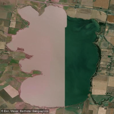
Lake Burrumbeet
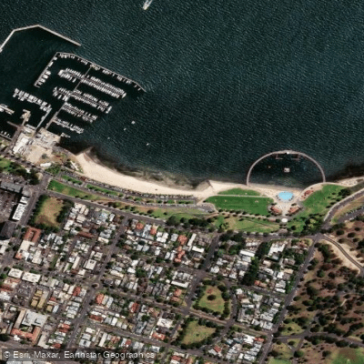
Eastern Beach

Campaspe River
Explore Victoria waters
Top paddling waters
No waters available right now.
Popular Cities
Loading popular cities...
Explore near Woady Yaloak River

Smarter Paddling Starts in the App.
Paddleways gives you everything you need to plan smarter, paddle better, and own every trip from first launch to takeout.