Serpentine Creek
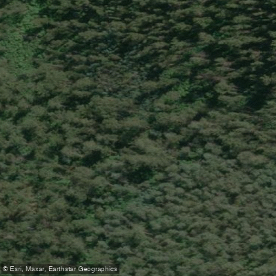
Serpentine Creek
- Boat Ramps
- 0
- Access Points
- 0
- Campsites
- 0
Serpentine Creek is a slow-moving waterway in the Loddon Valley region of Victoria, Australia, near the small township of Durham Ox. The creek takes its name from its snake-like bends, a characteristic noted by explorer Major Mitchell when he first came to the Loddon River plains in 1836. The self-guided Serpentine Creek Canoe Trail covers five kilometres and is marked by six bright yellow buoys positioned at points of interest along the route. An annotated map with GPS coordinates for each buoy is available through the Loddon Shire website.
The dedicated canoe launch is located on Whytcross Road, off the Boort-Pyramid Hill Road at Durham Ox. The ramp is designed as an all-abilities facility, making it accessible for a wide range of paddlers. Canoes can be hired from the kiosk at the Boort Lakes Holiday Park for use on the trail.
Points of interest along the trail include the 1850s Durham Ox red-brick inn beside the creek, which is believed to have been a meeting point for a Burke and Wills search party in 1862. Paddlers can also approach scar trees — tall trunks bearing the distinctive oval marks left by the Indigenous practice of removing bark while preserving the tree. The Loddon Valley's waterways are noted for holding one of the country's largest collections of these scar trees. Birdlife is diverse, with birds of prey commonly seen overhead and smaller species active among the water reeds. Anglers on the creek target Redfin, Yellow Belly, and Murray Cod.
Several safety considerations apply to the trail. Paddlers should not attempt the route when the river is in flood. A weir is located downstream, and proximity to it is marked by a yellow buoy — paddlers are advised to stay well clear. In summer, fire danger ratings for the Northern Country Fire District should be checked via the CFA website before setting out, and Blue-Green Algal alerts should be checked through Goulburn Murray Water. Recommended safety equipment includes a life jacket or personal flotation device, fixed footwear suitable for water and steep banks, a first aid kit, and at least one spare paddle per group. All craft should have fixed buoyancy. The trail was developed in collaboration with La Trobe University's Outdoor Education program, the Loddon Shire, the State Government, and the Dja Dja Wurrung Clans Corporation.
Water access, boat ramps & amenities
Learn how to get on Serpentine Creek. Uncover great paddling access points, boat ramps, and all the facilities you need for an unforgettable day on the water. Some locations shown may border or include private property. Always check property boundaries and applicable regulations before visiting. PaddleWays's Public & Private Land layer can help you plan your access with confidence.
Paddle smarter with real-time insights
Whether you're en route and conditions shift or you're looking for the best spot based on current flows, we enable you to make informed decisions on the fly.








Find Places to Paddle

Over 400,000 Places to Paddle
Every user gets free access to launch points, boat ramps, and public property parcels.


Water and weather conditions (10 day forecast)
See the best times to paddle Serpentine Creek and check the forecast before you go.
No forecast data available.
Paddling near Serpentine Creek
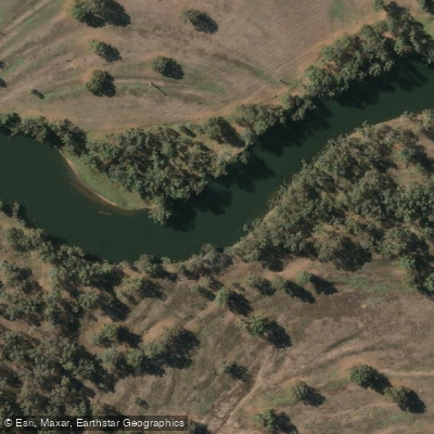
Murray River
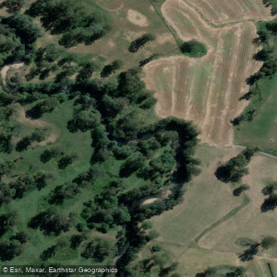
Kiewa River
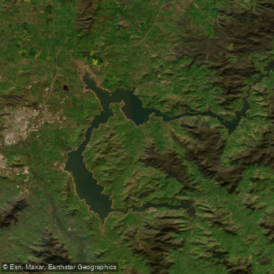
Lake Hume
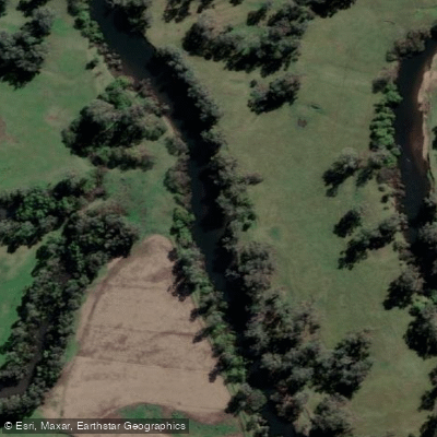
Mitta Mitta River
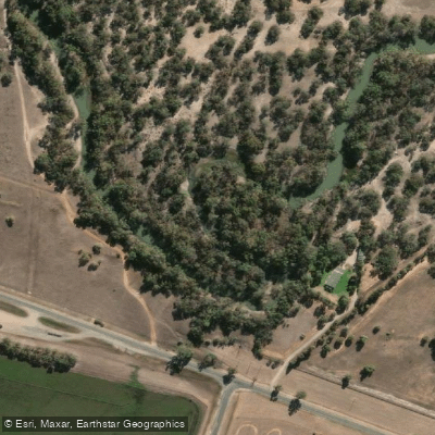
Billabong Creek
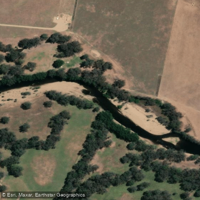
Ovens River
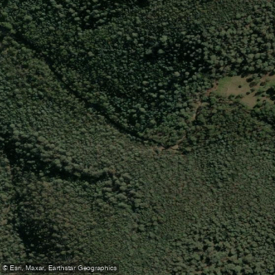
Buffalo Creek

Murray River
Back Creek
Murray River
Explore Victoria waters
Top paddling waters
No waters available right now.
Popular Cities
Loading popular cities...
Explore near Serpentine Creek

Smarter Paddling Starts in the App.
Paddleways gives you everything you need to plan smarter, paddle better, and own every trip from first launch to takeout.