Snowy River
Snowy River
- Boat Ramps
- 3
- Access Points
- 0
- Campsites
- 13
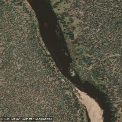
The Snowy River (known as Douriango in the Ngarigo language) originates on the slopes of Mount Kosciuszko in New South Wales at an elevation of approximately 2,200 metres, flowing 352 kilometres through the Alpine National Park and Snowy River National Park in Victoria before emptying into Bass Strait near Marlo, close to Orbost. The river drains a basin of 15,779 square kilometres and passes through the towns of Jindabyne, Orbost, and Marlo along its course.
The character of the river varies considerably along its length, moving through rugged gorges with rapids, flatter sections with sandbars, and gentler stretches near the coast. The Snowy Hydro Scheme has significantly reduced the river's natural flow rate, though environmental releases have contributed to improving conditions in recent years, with reports of fish returning to sections of the river.
The most popular paddling section runs from McKillops Bridge — a historic crossing in the Deddick Valley region of the Snowy Mountains National Park in Victoria — to the junction with the Buchan River at Balley Hooley campsite, a distance of approximately 76 kilometres. This stretch typically takes three to four days to complete and features continuously changing scenery, gorges, rapids, and gently sloping sandbars that serve as natural campsites. Parks Victoria notes that Snowy River National Park is approximately 390 kilometres from Melbourne, accessible via the Princes Highway through either Buchan or Orbost. MacKillops Bridge has a designated canoe launch area within the national park.
The upper NSW section offers whitewater kayaking with over fifty rapids, and guided multi-day kayak trips are available through operators including Walking Rivers and Alpine River Adventures. Snowy River Expeditions, based at Karoonda Park in Gelantipy, offers equipment hire, guiding, and vehicle shuttles for the Victorian section. Near the river mouth at Orbost, a SUP-accessible entry point exists approximately 50 metres north of the highway bridge on the Orbost-Marlo Road, though the upper portion of this lower section can be shallow and may require walking boards over shallows at lower water levels.
Wildlife along the river includes water dragons, black swans, and a variety of native animals visible from riverside campsites. The river passes through areas of significant Indigenous cultural heritage connected to the Ngarigo people.
Water access, boat ramps & amenities
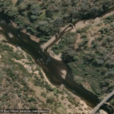
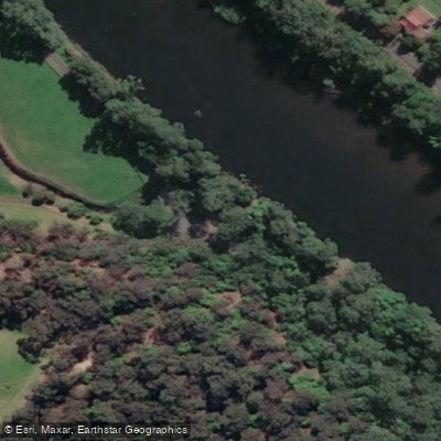
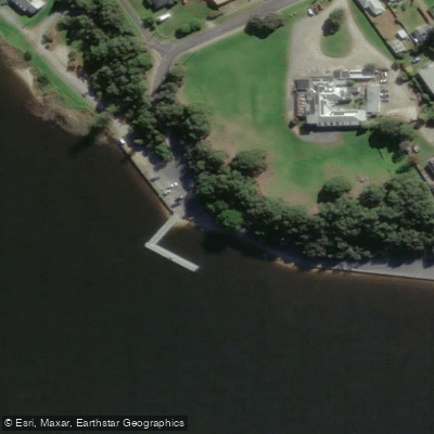
Learn how to get on Snowy River. Uncover great paddling access points, boat ramps, and all the facilities you need for an unforgettable day on the water. Some locations shown may border or include private property. Always check property boundaries and applicable regulations before visiting. PaddleWays's Public & Private Land layer can help you plan your access with confidence.
Paddle smarter with real-time insights
Whether you're en route and conditions shift or you're looking for the best spot based on current flows, we enable you to make informed decisions on the fly.








Find Places to Paddle

Over 400,000 Places to Paddle
Every user gets free access to launch points, boat ramps, and public property parcels.


Water and weather conditions (10 day forecast)
See the best times to paddle Snowy River and check the forecast before you go.
Snowy River At Burnt Hut Crossing
All Flow Stations
Paddling near Snowy River
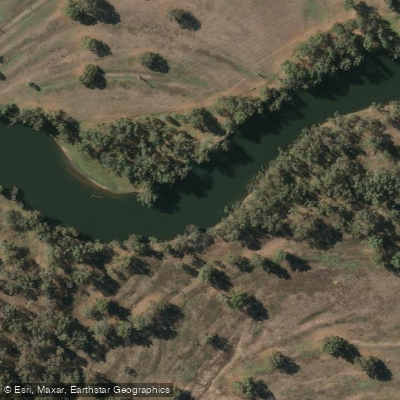
Murray River
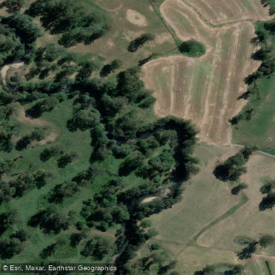
Kiewa River
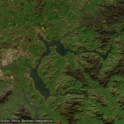
Lake Hume
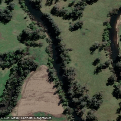
Mitta Mitta River
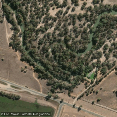
Billabong Creek
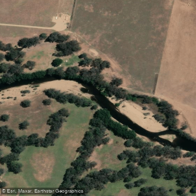
Ovens River
Buffalo Creek
Murray River
Back Creek
Murray River
Explore Victoria waters
Top paddling waters
No waters available right now.
Popular Cities
Loading popular cities...
Explore near Snowy River
Access points
Nearby waters
More in Victoria

Smarter Paddling Starts in the App.
Paddleways gives you everything you need to plan smarter, paddle better, and own every trip from first launch to takeout.