Avon River
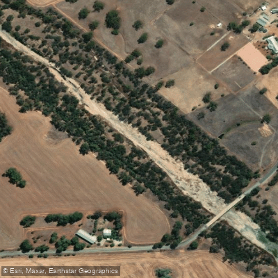
Avon River
- Boat Ramps
- 0
- Access Points
- 0
- Campsites
- 5
The Avon River drains approximately 121,000 square kilometres of Western Australia's agricultural region — roughly twice the size of Tasmania — and runs approximately 267 kilometres in total length. It begins at an elevation of 269 metres and descends around 240 metres before merging with the Swan River at Wooroloo Brook, ending at an elevation of 28.7 metres. The river flows through the Avon Valley before joining the Swan River system, which continues through Perth and reaches the ocean at Fremantle.
The character of the river changes significantly depending on location and season. Near Northam, roughly an hour's drive east of Perth, the river flows as a relatively calm waterway. Downstream, particularly through the Avon Valley, the gradient increases and the river produces a series of rapids, rock pools, and tea-tree-lined sections. Bell's Rapid, located at Bolland's Elbow in the Walyunga National Park area, is one of the most demanding features on the river and is well known for testing experienced paddlers. After this point, the river eases in gradient and eventually becomes tidal as it winds through Perth.
Seasonal conditions are a critical planning consideration. The section between York and Perth can be virtually dry for extended stretches during summer, making paddling impractical or impossible. Winter rainfall, typically peaking around August, raises water levels and activates the rapids. Paddlers planning to run the whitewater sections should target the winter months. Water levels can vary considerably even within the season, and in low-water years rapids may require portaging.
The river is most widely known as the course for the Avon Descent, a two-day event held annually in August, typically on the second weekend of the month. The full course covers 124 kilometres — 52 kilometres on day one from Northam to Cobbler's Pool near West Toodyay, and 72 kilometres on day two finishing in Bayswater. The event attracts interstate and international competitors and accommodates canoes, kayaks, surf skis, and power craft. Shorter course options of 5, 17, and 30 kilometres are also available for day two participants.
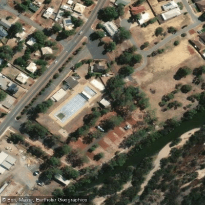
In Northam, paddlers can access the river near Avon Park on Lowe Street, where toilets, barbecue facilities, and a playground are available. The town's pedestrian suspension bridge, described as the longest of its type in Australia, spans the river and is a notable landmark. The river in this area is also known for a colony of white swans.
Water access, boat ramps & amenities
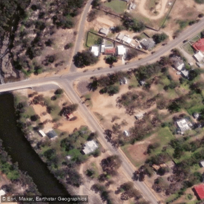
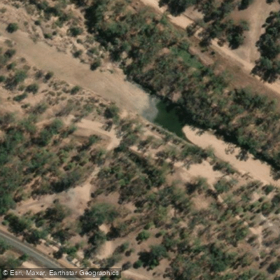
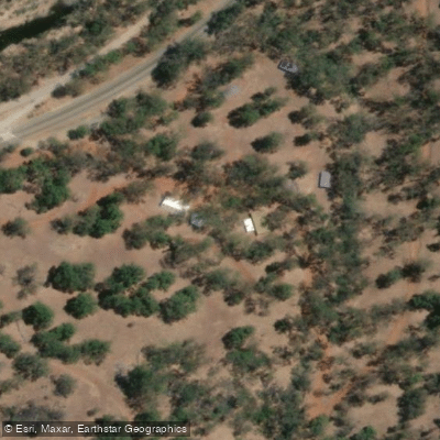
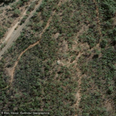
Learn how to get on Avon River. Uncover great paddling access points, boat ramps, and all the facilities you need for an unforgettable day on the water. Some locations shown may border or include private property. Always check property boundaries and applicable regulations before visiting. PaddleWays's Public & Private Land layer can help you plan your access with confidence.
Paddle smarter with real-time insights
Whether you're en route and conditions shift or you're looking for the best spot based on current flows, we enable you to make informed decisions on the fly.







Western Australia licenses and regulations

Find Places to Paddle

Over 400,000 Places to Paddle
Every user gets free access to launch points, boat ramps, and public property parcels.


Water and weather conditions (10 day forecast)
See the best times to paddle Avon River and check the forecast before you go.
Salt River - Qualandary Crossing
All Flow Stations
Paddling near Avon River
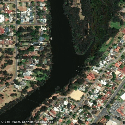
Swan River
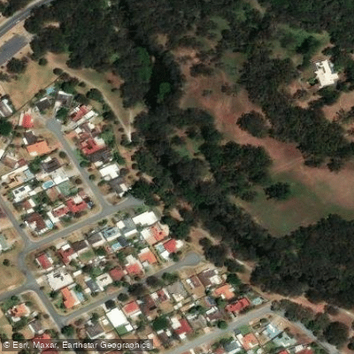
Canning River
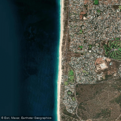
City Beach
Helena River
Canning River
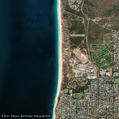
Swanbourne Beach
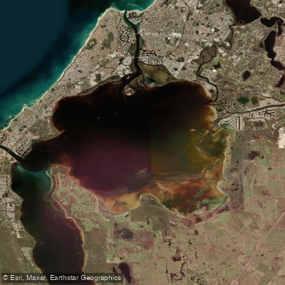
Peel Inlet
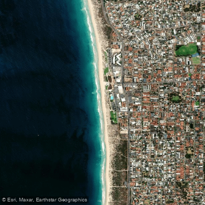
Scarborough Beach
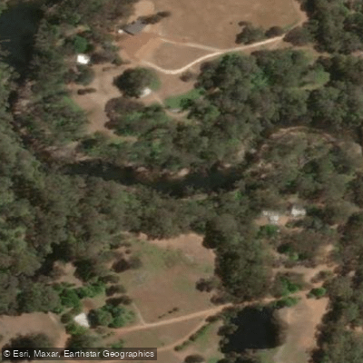
Murray River
Explore Western Australia waters
Top paddling waters
No waters available right now.
Popular Cities
Loading popular cities...
Explore near Avon River

Smarter Paddling Starts in the App.
Paddleways gives you everything you need to plan smarter, paddle better, and own every trip from first launch to takeout.