Swan River
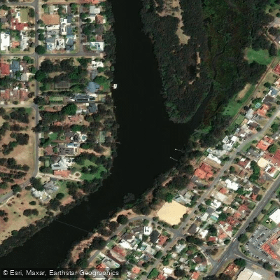
Swan River
- Boat Ramps
- 11
- Access Points
- 2
- Campsites
- 0
The Swan River, known to the traditional Noongar people as the Derbal Yerrigan, is the principal waterway running through Perth, Western Australia. It stretches approximately 72 kilometres from the white-water rapids at Walyunga National Park downstream through the city to its mouth at Fremantle, where it meets the ocean. The river's character shifts considerably along its length: the upper reaches near Walyunga feature rapids and a more natural, rural setting of farmland and vineyards, while the middle and lower sections pass through suburban and urban Perth, offering views of riverside houses, parklands, and the city skyline before widening into an estuary near Fremantle.
Several access points are well established for paddlers. A.P. Hinds Reserve in Bayswater (within the Swan Canning Riverpark) is a commonly used put-in, as is Garratt Road Bridge Park near the ANA Rowing Club in Bayswater. Mandoon Estate in Caversham serves as a launch point for upper-river trips, and Bicton Baths provides access to the Blackwall Reach section, where limestone cliffs rise from the water. The Matilda Bay and Elizabeth Quay areas are also used for urban paddling routes. Spring and autumn are generally considered the preferred seasons for paddling on the river.
Paddlers should be aware of several regulatory restrictions. Personal watercraft (PWC) are prohibited on all Swan River waters upstream of Windan Bridge. The ski area in front of Burswood Park and the jet ski area near Narrows Bridge are off-limits to paddlers. Water skiing is permitted between 8am and sunset. General speed restrictions apply to motorised vessels throughout the river, including an 8-knot limit within 50 metres of a river bank, moored vessel, jetty, or person in the water — conditions paddlers should factor into their safety planning when sharing the waterway with motorised traffic.
The lower river near South Perth and the Fremantle estuary is known for dolphin sightings. The Blackwall Reach section offers dramatic limestone cliff scenery. The upper Swan transitions into a quieter, more rural atmosphere. The river is managed as part of the Swan Canning Riverpark, and the broader waterway system connects with the Canning River, which joins the Swan in the lower reaches.
Water access, boat ramps & amenities
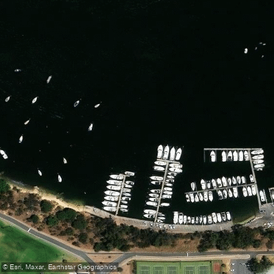
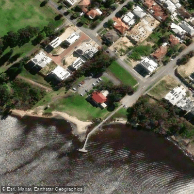
Learn how to get on Swan River. Uncover great paddling access points, boat ramps, and all the facilities you need for an unforgettable day on the water. Some locations shown may border or include private property. Always check property boundaries and applicable regulations before visiting. PaddleWays's Public & Private Land layer can help you plan your access with confidence.
Paddle smarter with real-time insights
Whether you're en route and conditions shift or you're looking for the best spot based on current flows, we enable you to make informed decisions on the fly.







Western Australia licenses and regulations

Find Places to Paddle

Over 400,000 Places to Paddle
Every user gets free access to launch points, boat ramps, and public property parcels.


Water and weather conditions (10 day forecast)
See the best times to paddle Swan River and check the forecast before you go.
Swan River - Meadow Street Bridge
All Flow Stations
Paddling near Swan River
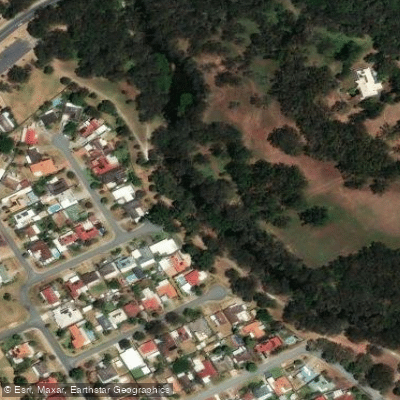
Canning River
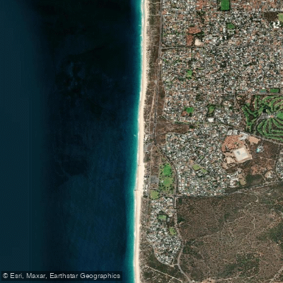
City Beach
Helena River
Canning River
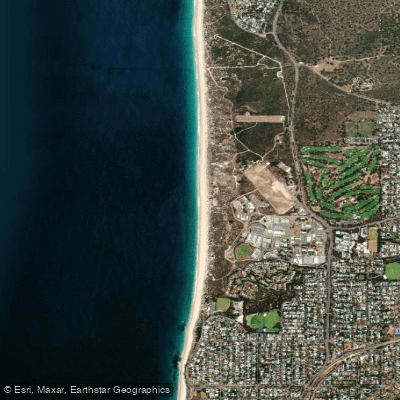
Swanbourne Beach
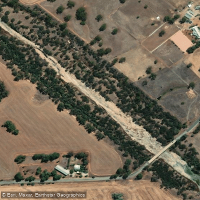
Avon River
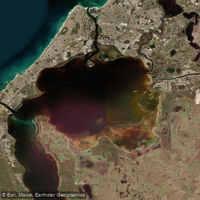
Peel Inlet
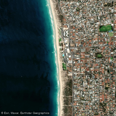
Scarborough Beach
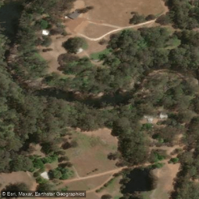
Murray River
Explore Western Australia waters
Top paddling waters
No waters available right now.
Popular Cities
Loading popular cities...
Explore near Swan River
Access points
Nearby waters
More in Western Australia

Smarter Paddling Starts in the App.
Paddleways gives you everything you need to plan smarter, paddle better, and own every trip from first launch to takeout.