Canning River
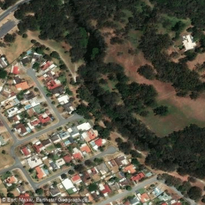
Canning River
- Boat Ramps
- 4
- Access Points
- 0
- Campsites
- 0
The Canning River flows through the southern suburbs of Perth, Western Australia, and is managed as part of the Canning River Regional Park. The river is recognized as Whadjuk country, and the traditional custodians of this land are the Whadjuk people. The paddling area sits approximately 15 kilometres from Perth's city centre, making it an accessible day trip for metropolitan visitors.
The primary paddling route is the Canning River Wetlands Paddle Trail, an 8-kilometre return trip that begins at Wilson Park on Kent Street in Cannington and ends at Riverton Bridge. The trail passes through alluvial islands, estuarine vegetation, paperbark forests, and sedge meadows, with narrow waterways and occasional dead ends adding navigational interest. The upper section of the river where paddling is concentrated restricts large motorboat and jet ski access, resulting in calm, sheltered water with no waves, though the area is tidal. The absence of motorized craft is a defining characteristic of the experience, with the primary sounds being birdlife and the occasional splash of fish.
Launch points within the regional park include Kent Street Weir, Mason's Landing, Riverton Jetty Park, and Woodloes Park. Kent Street Weir is the most developed of these, offering a café, children's play equipment, barbecues, and a formal kayak launch ramp. Facilities at the start point include parking, toilets, and café access. Paddlers should be aware that mud banks can be knee-deep near the café closest to Shelley Bridge.
The route is rated easy and is suitable for beginners and a wide range of fitness levels. Guided tours typically run as three-hour sessions in either morning or afternoon slots, with approximately 40 minutes of paddling in each direction. Self-guided hire is also available through local operators based at Kent Street Weir.
Birdlife is abundant throughout the wetlands, and the area functions as a birdlife sanctuary. Wildlife including pelicans and various water birds is commonly encountered. Algal blooms can occur during summer months, and when they do, sections of the river may be closed to paddlers. This is the primary seasonal hazard to factor into trip planning, and conditions should be checked before visiting during warmer months.
Water access, boat ramps & amenities
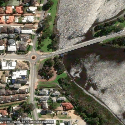
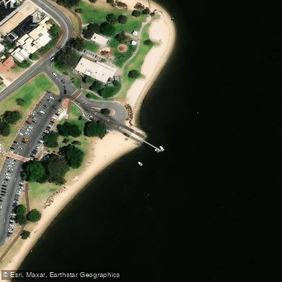
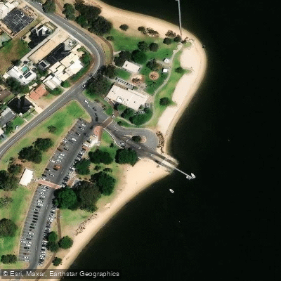
Learn how to get on Canning River. Uncover great paddling access points, boat ramps, and all the facilities you need for an unforgettable day on the water. Some locations shown may border or include private property. Always check property boundaries and applicable regulations before visiting. PaddleWays's Public & Private Land layer can help you plan your access with confidence.
Paddle smarter with real-time insights
Whether you're en route and conditions shift or you're looking for the best spot based on current flows, we enable you to make informed decisions on the fly.







Western Australia licenses and regulations

Find Places to Paddle

Over 400,000 Places to Paddle
Every user gets free access to launch points, boat ramps, and public property parcels.


Water and weather conditions (10 day forecast)
See the best times to paddle Canning River and check the forecast before you go.
Seaforth
All Flow Stations
Paddling near Canning River
Swan River
City Beach
Helena River
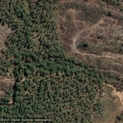
Canning River
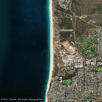
Swanbourne Beach
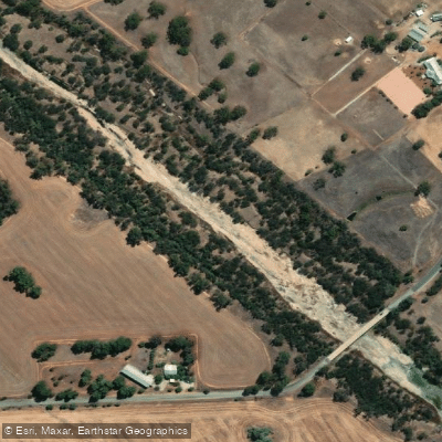
Avon River
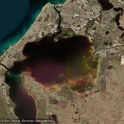
Peel Inlet
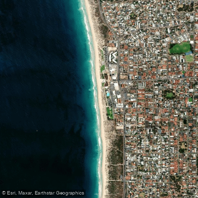
Scarborough Beach
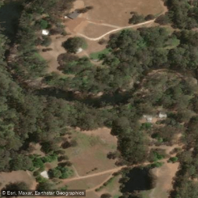
Murray River
Explore Western Australia waters
Top paddling waters
No waters available right now.
Popular Cities
Loading popular cities...
Explore near Canning River

Smarter Paddling Starts in the App.
Paddleways gives you everything you need to plan smarter, paddle better, and own every trip from first launch to takeout.