Helena River
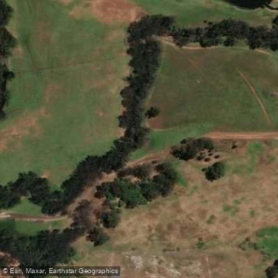
Helena River
- Boat Ramps
- 0
- Access Points
- 0
- Campsites
- 0
The Helena River is a waterway in the Perth metropolitan area of Western Australia that flows into the Swan River. The section most accessible to paddlers runs from Barker's Bridge downstream approximately 2.5 kilometres to where the Helena meets the Swan River, directly opposite Point Reserve in Bassendean. Barker's Bridge serves as the primary launch point for this stretch, with parking available nearby.
The river's depth can vary considerably with seasonal conditions. At lower water levels, paddlers can expect to navigate roughly one kilometre upstream from the Swan River confluence before shallowing conditions make further progress impractical. The entrance area features at least one structure of interest — a footbridge or former footbridge — and the river includes a small island that can be circumnavigated. A freshwater stream enters the river near Success Hill, and exploratory paddlers may find it worth attempting to follow these smaller tributaries a short distance.
The overall character of the Helena River paddling experience is relatively compact and calm, suited to a half-day outing. The trip from Barker's Bridge to the Swan River confluence and back, with time for exploration up the Helena from the Swan, makes for a comfortable excursion. Kings Meadow Oval, located near the confluence opposite Point Reserve, provides a convenient spot to stop for a break or lunch before returning upstream to Barker's Bridge.
The river passes through an area with both natural and urban features characteristic of Perth's inner waterways. Fishing is noted as a popular activity along the broader Swan and Helena river system, which may mean occasional anglers sharing the foreshore. The waterway is managed under a broader Swan and Helena Rivers Management Framework that addresses environmental conservation, bank stabilisation, and public amenity, suggesting ongoing attention to the health of the river corridor.
Water access, boat ramps & amenities
Learn how to get on Helena River. Uncover great paddling access points, boat ramps, and all the facilities you need for an unforgettable day on the water. Some locations shown may border or include private property. Always check property boundaries and applicable regulations before visiting. PaddleWays's Public & Private Land layer can help you plan your access with confidence.
Paddle smarter with real-time insights
Whether you're en route and conditions shift or you're looking for the best spot based on current flows, we enable you to make informed decisions on the fly.







Western Australia licenses and regulations

Find Places to Paddle

Over 400,000 Places to Paddle
Every user gets free access to launch points, boat ramps, and public property parcels.


Water and weather conditions (10 day forecast)
See the best times to paddle Helena River and check the forecast before you go.
Roe Highway
All Flow Stations
Paddling near Helena River
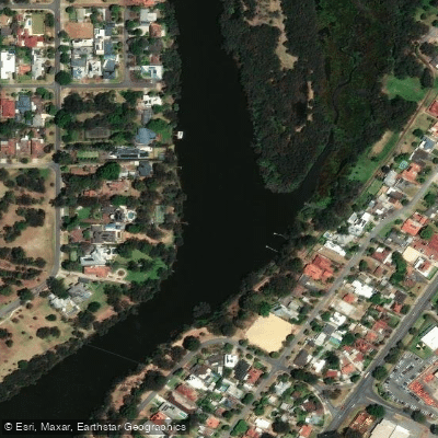
Swan River
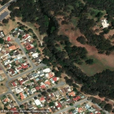
Canning River
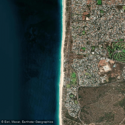
City Beach
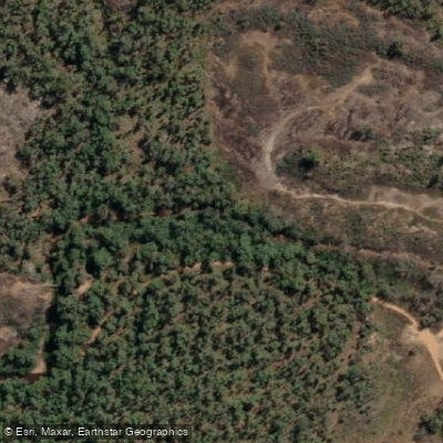
Canning River
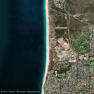
Swanbourne Beach
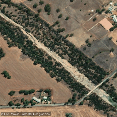
Avon River
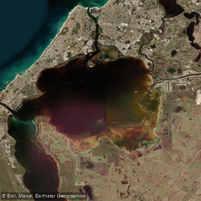
Peel Inlet
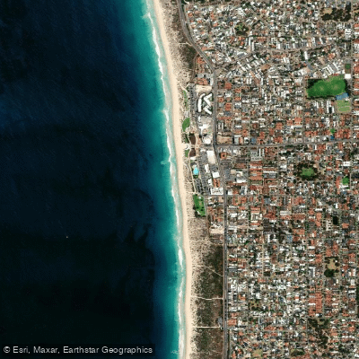
Scarborough Beach
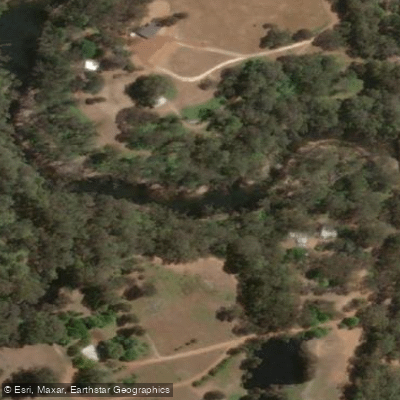
Murray River
Explore Western Australia waters
Top paddling waters
No waters available right now.
Popular Cities
Loading popular cities...
Explore near Helena River
Nearby waters
More in Western Australia

Smarter Paddling Starts in the App.
Paddleways gives you everything you need to plan smarter, paddle better, and own every trip from first launch to takeout.